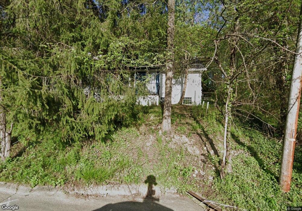
359 Horton Ave Akron, OH 44312
Ellet NeighborhoodEstimated Value: $165,000 - $199,966
3
Beds
2
Baths
1,128
Sq Ft
$161/Sq Ft
Est. Value
About This Home
This home is located at 359 Horton Ave, Akron, OH 44312 and is currently estimated at $181,242, approximately $160 per square foot. 359 Horton Ave is a home located in Summit County with nearby schools including Ellet High School, Summit Academy Akron Elementary School, and Akron Preparatory school.
Ownership History
Date
Name
Owned For
Owner Type
Purchase Details
Closed on
Oct 22, 2008
Sold by
Federal Home Loan Mortgage Corporation
Bought by
Gray Shayne D and Gray Bridget M
Current Estimated Value
Home Financials for this Owner
Home Financials are based on the most recent Mortgage that was taken out on this home.
Original Mortgage
$87,536
Interest Rate
6.3%
Mortgage Type
FHA
Purchase Details
Closed on
Jun 4, 2008
Sold by
Pruner Gordon L
Bought by
Federal Home Loan Mortgage Corporation
Create a Home Valuation Report for This Property
The Home Valuation Report is an in-depth analysis detailing your home's value as well as a comparison with similar homes in the area
Home Values in the Area
Average Home Value in this Area
Purchase History
| Date | Buyer | Sale Price | Title Company |
|---|---|---|---|
| Gray Shayne D | -- | Attorney | |
| Federal Home Loan Mortgage Corporation | $66,000 | None Available |
Source: Public Records
Mortgage History
| Date | Status | Borrower | Loan Amount |
|---|---|---|---|
| Previous Owner | Gray Shayne D | $87,536 |
Source: Public Records
Tax History Compared to Growth
Tax History
| Year | Tax Paid | Tax Assessment Tax Assessment Total Assessment is a certain percentage of the fair market value that is determined by local assessors to be the total taxable value of land and additions on the property. | Land | Improvement |
|---|---|---|---|---|
| 2025 | $3,187 | $59,203 | $23,594 | $35,609 |
| 2024 | $3,187 | $59,203 | $23,594 | $35,609 |
| 2023 | $3,187 | $59,203 | $23,594 | $35,609 |
| 2022 | $2,644 | $38,196 | $15,222 | $22,974 |
| 2021 | $2,646 | $38,196 | $15,222 | $22,974 |
| 2020 | $2,607 | $38,190 | $15,220 | $22,970 |
| 2019 | $2,386 | $31,560 | $13,700 | $17,860 |
| 2018 | $2,355 | $31,560 | $13,700 | $17,860 |
| 2017 | $2,391 | $31,560 | $13,700 | $17,860 |
| 2016 | $2,393 | $31,560 | $13,700 | $17,860 |
| 2015 | $2,391 | $31,560 | $13,700 | $17,860 |
| 2014 | $2,373 | $31,560 | $13,700 | $17,860 |
| 2013 | $2,398 | $32,610 | $13,700 | $18,910 |
Source: Public Records
Map
Nearby Homes
- 2220 Wedgewood Dr
- 172 Emmons Ave
- 218 Canton Rd
- 195 Prairie Dr
- 181 Hilbish Ave
- 2155 Abbey Rd
- 452 Herbert Rd
- 198 Hilbish Ave
- 159 Dellenberger Ave
- 102 Canton Rd
- 57 Carlton Dr
- 591 Ingalls Rd
- 586 Ingalls Rd
- 364 Stanley Rd
- 2528 Ogden Ave
- 423 Stetler Ave
- 2382 Mogadore Rd
- 2258 Mogadore Rd
- 547 Lansing Rd
- 179 Davenport Ave