359 Lanier Rd Lagrange, GA 30241
Estimated Value: $429,000 - $533,000
5
Beds
2
Baths
2,961
Sq Ft
$165/Sq Ft
Est. Value
About This Home
This home is located at 359 Lanier Rd, Lagrange, GA 30241 and is currently estimated at $487,884, approximately $164 per square foot. 359 Lanier Rd is a home located in Troup County with nearby schools including Rosemont Elementary School, Whitesville Road Elementary School, and Berta Weathersbee Elementary School.
Ownership History
Date
Name
Owned For
Owner Type
Purchase Details
Closed on
Dec 30, 1999
Sold by
Larry Garner and Larry Janice
Bought by
Garner Larry E
Current Estimated Value
Purchase Details
Closed on
Oct 28, 1994
Sold by
Boatner Steven
Bought by
Larry Garner and Larry Janice
Purchase Details
Closed on
Sep 24, 1993
Sold by
John L Edwards
Bought by
Boatner Steven
Purchase Details
Closed on
Nov 15, 1988
Sold by
Employee Transfer Corporation
Bought by
John L Edwards
Purchase Details
Closed on
Sep 26, 1981
Sold by
Shaw Larry R and Shaw Marcia M
Bought by
Employee Transfer Corporation
Purchase Details
Closed on
Nov 27, 1974
Sold by
Garner
Bought by
Shaw Larry R and Shaw Marcia M
Create a Home Valuation Report for This Property
The Home Valuation Report is an in-depth analysis detailing your home's value as well as a comparison with similar homes in the area
Purchase History
| Date | Buyer | Sale Price | Title Company |
|---|---|---|---|
| Garner Larry E | $151,000 | -- | |
| Larry Garner | $151,000 | -- | |
| Boatner Steven | $125,000 | -- | |
| John L Edwards | $93,000 | -- | |
| Employee Transfer Corporation | $60,400 | -- | |
| Shaw Larry R | $16,300 | -- |
Source: Public Records
Tax History
| Year | Tax Paid | Tax Assessment Tax Assessment Total Assessment is a certain percentage of the fair market value that is determined by local assessors to be the total taxable value of land and additions on the property. | Land | Improvement |
|---|---|---|---|---|
| 2025 | $3,774 | $173,108 | $46,160 | $126,948 |
| 2024 | $3,270 | $156,840 | $46,160 | $110,680 |
| 2023 | $2,370 | $124,000 | $46,160 | $77,840 |
| 2022 | $2,242 | $117,560 | $46,160 | $71,400 |
| 2021 | $2,471 | $114,960 | $41,440 | $73,520 |
| 2020 | $2,466 | $114,960 | $41,440 | $73,520 |
| 2019 | $2,451 | $114,600 | $41,440 | $73,160 |
| 2018 | $2,246 | $107,920 | $41,440 | $66,480 |
| 2017 | $2,142 | $107,920 | $41,440 | $66,480 |
| 2016 | $2,137 | $107,886 | $41,453 | $66,433 |
| 2015 | $2,136 | $107,886 | $41,453 | $66,433 |
| 2014 | $2,125 | $105,837 | $41,453 | $64,384 |
| 2013 | -- | $105,837 | $41,453 | $64,384 |
Source: Public Records
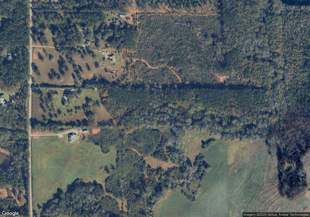
Map
Nearby Homes
- 11.59+/- AC Hunt Rd
- 3913 Whitesville Rd
- 1605 Bartley Rd
- 130 Hamilton Lake Dr
- 2851 & 2891 Hamilton Rd
- 246 S Smith Rd
- 137 Robertson Rd
- 113 Glenn Eagle Point
- 1820 Salem Rd
- 111 Prestwick Dr
- 0 Whitesville Rd Unit 10496838
- 0 Salem Lot 3 Rd Unit LOT 3
- 0 Salem Lot 1 Rd Unit LOT 1
- 209 Grace Ct
- 557 Lago Ct
- 312 Lana Ln
- 620 Old Hutchinson Mill Rd
- 501 Lago Ct
- 0 Robert Hodnett Rd Unit 10709308
- 143 Willis Cir
Your Personal Tour Guide
Ask me questions while you tour the home.