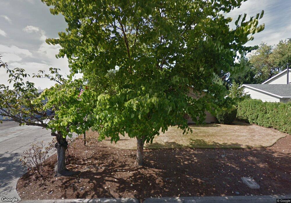
359 NE 17th Ave Hillsboro, OR 97124
Central Hillsboro NeighborhoodEstimated Value: $527,862 - $556,000
3
Beds
2
Baths
1,664
Sq Ft
$328/Sq Ft
Est. Value
About This Home
This home is located at 359 NE 17th Ave, Hillsboro, OR 97124 and is currently estimated at $545,216, approximately $327 per square foot. 359 NE 17th Ave is a home located in Washington County with nearby schools including Eastwood Elementary School, J.W. Poynter Middle School, and Liberty High School.
Ownership History
Date
Name
Owned For
Owner Type
Purchase Details
Closed on
Feb 28, 2011
Sold by
Wineland Nancy L and Dusick Shirley E
Bought by
Benson Larry E and Benson Linda S
Current Estimated Value
Home Financials for this Owner
Home Financials are based on the most recent Mortgage that was taken out on this home.
Original Mortgage
$146,000
Outstanding Balance
$99,747
Interest Rate
4.67%
Mortgage Type
New Conventional
Estimated Equity
$445,469
Create a Home Valuation Report for This Property
The Home Valuation Report is an in-depth analysis detailing your home's value as well as a comparison with similar homes in the area
Home Values in the Area
Average Home Value in this Area
Purchase History
| Date | Buyer | Sale Price | Title Company |
|---|---|---|---|
| Benson Larry E | $182,500 | First American |
Source: Public Records
Mortgage History
| Date | Status | Borrower | Loan Amount |
|---|---|---|---|
| Open | Benson Larry E | $146,000 |
Source: Public Records
Tax History Compared to Growth
Tax History
| Year | Tax Paid | Tax Assessment Tax Assessment Total Assessment is a certain percentage of the fair market value that is determined by local assessors to be the total taxable value of land and additions on the property. | Land | Improvement |
|---|---|---|---|---|
| 2025 | $4,551 | $278,400 | -- | -- |
| 2024 | $4,421 | $270,300 | -- | -- |
| 2023 | $4,421 | $262,430 | $0 | $0 |
| 2022 | $4,301 | $262,430 | $0 | $0 |
| 2021 | $4,215 | $247,370 | $0 | $0 |
| 2020 | $4,124 | $240,170 | $0 | $0 |
| 2019 | $4,006 | $233,180 | $0 | $0 |
| 2018 | $3,834 | $226,390 | $0 | $0 |
| 2017 | $3,695 | $219,800 | $0 | $0 |
| 2016 | $3,594 | $213,400 | $0 | $0 |
| 2015 | $3,449 | $207,190 | $0 | $0 |
| 2014 | $3,430 | $201,160 | $0 | $0 |
Source: Public Records
Map
Nearby Homes
- 461 NE 16th Ave
- 1303 NE Cornell Rd
- 1184 NE Turner Dr
- 1043 NE Sturgess Ave
- 1269 NE Grant St
- 2411 NE Hyde St
- 319 NE Hyde Cir
- 1112 E Main St
- 2570 NE Grant St
- 1822 NE Barberry Dr
- 1518 SE Oak St Unit 2
- 960 E Main St
- 349 SE Walnut St
- 439 SE 24th Ave
- 240 SE 26th Ave
- 1740 NE Darby St
- 1470 SE Walnut St Unit 210
- 2080 NE Darby St
- 0 SE Cedar St
- 3029 NE Azalea St
- 371 NE 17th Ave
- 341 NE 17th Ave
- 364 NE 16th Ave
- 386 NE 16th Ave
- 342 NE 16th Ave
- 356 NE 17th Ave
- 385 NE 17th Ave
- 329 NE 17th Ave
- 370 NE 17th Ave
- 342 NE 17th Ave
- 398 NE 16th Ave
- 320 NE 16th Ave
- 386 NE 17th Ave
- 330 NE 17th Ave
- 315 NE 17th Ave
- 363 NE 16th Ave
- 365 NE 18th Ave
- 385 NE 16th Ave
- 341 NE 16th Ave
- 343 NE 18th Ave