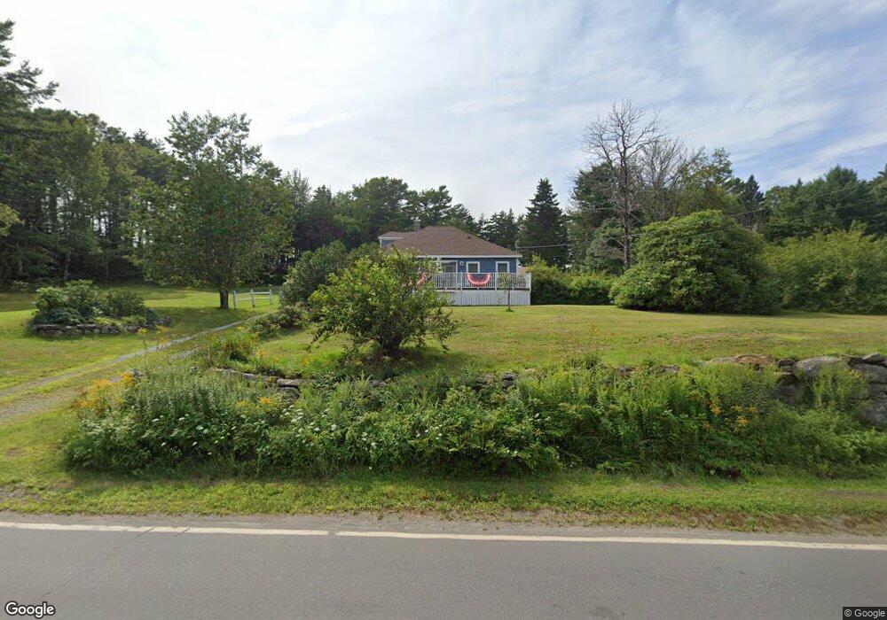
359 Ocean Point Rd East Boothbay, ME 04544
Estimated Value: $269,000 - $537,000
2
Beds
1
Bath
1,080
Sq Ft
$375/Sq Ft
Est. Value
About This Home
This home is located at 359 Ocean Point Rd, East Boothbay, ME 04544 and is currently estimated at $404,718, approximately $374 per square foot. 359 Ocean Point Rd is a home located in Lincoln County with nearby schools including Boothbay Region Elementary School and Boothbay Region High School.
Ownership History
Date
Name
Owned For
Owner Type
Purchase Details
Closed on
Jan 20, 2022
Sold by
Loonie Jamey and Loonie Mary
Bought by
Loonie Jamey
Current Estimated Value
Purchase Details
Closed on
Oct 29, 2015
Sold by
Loonie Jamey A and Loonie Brian T
Bought by
Loonie Jamey A and Loonie Mary A
Home Financials for this Owner
Home Financials are based on the most recent Mortgage that was taken out on this home.
Original Mortgage
$65,000
Interest Rate
3.92%
Mortgage Type
Unknown
Purchase Details
Closed on
Aug 15, 2014
Sold by
Bank Of Maine
Bought by
Loonie Jaye A
Create a Home Valuation Report for This Property
The Home Valuation Report is an in-depth analysis detailing your home's value as well as a comparison with similar homes in the area
Home Values in the Area
Average Home Value in this Area
Purchase History
| Date | Buyer | Sale Price | Title Company |
|---|---|---|---|
| Loonie Jamey | -- | None Available | |
| Loonie Jamey A | -- | -- | |
| Loonie Jaye A | -- | -- | |
| Loonie Jamey A | -- | -- |
Source: Public Records
Mortgage History
| Date | Status | Borrower | Loan Amount |
|---|---|---|---|
| Previous Owner | Loonie Jamey A | $65,000 |
Source: Public Records
Tax History Compared to Growth
Tax History
| Year | Tax Paid | Tax Assessment Tax Assessment Total Assessment is a certain percentage of the fair market value that is determined by local assessors to be the total taxable value of land and additions on the property. | Land | Improvement |
|---|---|---|---|---|
| 2024 | $2,030 | $178,834 | $76,030 | $102,804 |
| 2023 | $1,797 | $178,834 | $76,030 | $102,804 |
| 2022 | $1,663 | $178,834 | $76,030 | $102,804 |
| 2021 | $1,708 | $178,834 | $76,030 | $102,804 |
| 2020 | $1,717 | $178,834 | $76,030 | $102,804 |
| 2019 | $1,690 | $178,834 | $76,030 | $102,804 |
| 2018 | $1,597 | $171,768 | $76,030 | $95,738 |
| 2017 | $911 | $99,000 | $70,600 | $28,400 |
| 2016 | $871 | $99,000 | $70,600 | $28,400 |
| 2015 | $866 | $99,000 | $70,600 | $28,400 |
| 2014 | $1,456 | $171,300 | $78,000 | $93,300 |
Source: Public Records
Map
Nearby Homes
- 12 Westwind Dr
- 5 Massachusetts Ave
- 239 Ocean Point Rd
- 210 Ocean Point Rd
- 23 Meadow Cove Rd
- 35 Rice Rd
- 127 Appalachee Rd
- 44 King Phillips Trail
- 98 Meadow Cove Rd
- 28 & 31 Will Alley Rd
- 19 Hill Rd
- 25 Pineview Ridge Rd
- 74 & 76 Bay St
- 31 Bay St
- Lts 23A&24 Birch Island
- Birch Island
- 66 Townsend Ave
- 37 Townsend Ave
- 43 Oak St
- 66 Townsend Avenue & 43 Oak St
- 355 Ocean Point Rd
- 369 Ocean Point Rd
- 347 Ocean Point Rd
- 15 Little Pond Rd
- 0 Summit Dr Unit 835301
- 0 Summit Dr Unit 508945
- 0 Summit Dr Unit 1007857
- 0 Summit Dr Unit 1161576
- 0 Summit Dr Unit 1268004
- 0 Summit Dr Unit 1469481
- 9 Stone Cove
- 6 Stone Cove Rd
- 372 Ocean Point Rd
- 341 Ocean Point Rd
- 384 Ocean Point Rd
- 7 H Stone Cove Rd
- 14 Paradise Point Rd
- 3 Paradise Point Rd
- 27 Stone Cove
- 329 Ocean Point Rd