Estimated Value: $473,452 - $516,000
3
Beds
2
Baths
1,125
Sq Ft
$439/Sq Ft
Est. Value
About This Home
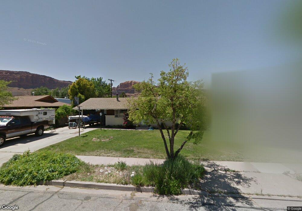
This home is located at 359 Opal St, Moab, UT 84532 and is currently estimated at $493,363, approximately $438 per square foot. 359 Opal St is a home located in Grand County with nearby schools including Helen M. Knight School, Grand County Middle School, and Grand County High School.
Ownership History
Date
Name
Owned For
Owner Type
Purchase Details
Closed on
Nov 25, 2009
Sold by
Estenson Michael G and Estenson Teryn D
Bought by
Olearain Chelsea D
Current Estimated Value
Home Financials for this Owner
Home Financials are based on the most recent Mortgage that was taken out on this home.
Original Mortgage
$219,500
Outstanding Balance
$142,234
Interest Rate
5.01%
Estimated Equity
$351,129
Create a Home Valuation Report for This Property
The Home Valuation Report is an in-depth analysis detailing your home's value as well as a comparison with similar homes in the area
Home Values in the Area
Average Home Value in this Area
Purchase History
| Date | Buyer | Sale Price | Title Company |
|---|---|---|---|
| Olearain Chelsea D | -- | -- |
Source: Public Records
Mortgage History
| Date | Status | Borrower | Loan Amount |
|---|---|---|---|
| Open | Olearain Chelsea D | $219,500 |
Source: Public Records
Tax History
| Year | Tax Paid | Tax Assessment Tax Assessment Total Assessment is a certain percentage of the fair market value that is determined by local assessors to be the total taxable value of land and additions on the property. | Land | Improvement |
|---|---|---|---|---|
| 2025 | $3,064 | $528,597 | $75,000 | $453,597 |
| 2024 | $3,064 | $528,597 | $75,000 | $453,597 |
| 2023 | $3,163 | $469,432 | $75,000 | $394,432 |
| 2022 | $2,363 | $457,944 | $75,000 | $382,944 |
| 2021 | $1,447 | $242,397 | $75,000 | $167,397 |
| 2020 | $1,501 | $242,397 | $75,000 | $167,397 |
| 2019 | $1,417 | $242,397 | $75,000 | $167,397 |
| 2018 | $1,113 | $192,201 | $75,000 | $117,201 |
| 2017 | $1,153 | $0 | $0 | $0 |
| 2016 | $1,141 | $0 | $0 | $0 |
| 2015 | $981 | $0 | $0 | $0 |
| 2014 | $945 | $0 | $0 | $0 |
| 2013 | -- | $91,390 | $0 | $0 |
Source: Public Records
Map
Nearby Homes
- 276 N Opal Ave
- 400 N 500 W Unit 265
- 400 N 500 W Unit 280
- 420 N 600 W
- 429 N 600 W
- 615 W 470 N
- 360 W Chinle Ave
- 592 W Hale Ave
- 656 W 400 N
- 673 W 470 N
- 247 W 400 N Unit 1
- 648 W Hale Ave
- 347 Williams Way
- 671 Palisade Dr
- 80 W 400 N
- 100 W 200 S Unit 118
- 100 W 200 S Unit 212
- 278 Hobbs St
- 491 Marcus Ct
- 911 N Main St
Your Personal Tour Guide
Ask me questions while you tour the home.