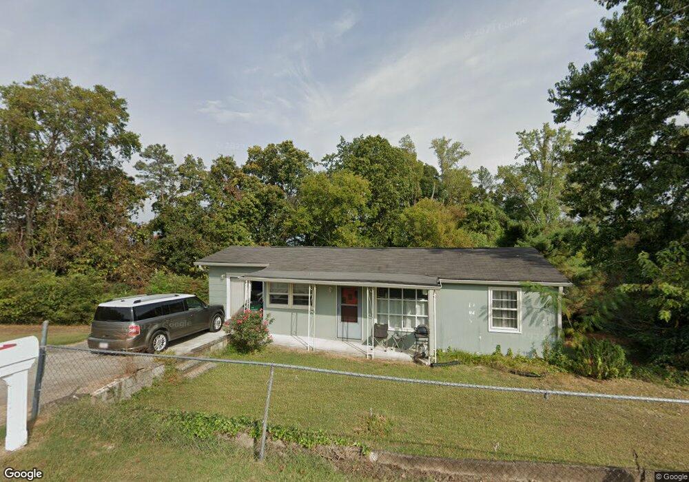
359 Ridgeside Dr Ringgold, GA 30736
Graysville NeighborhoodEstimated Value: $168,000 - $192,000
Studio
1
Bath
1,298
Sq Ft
$142/Sq Ft
Est. Value
About This Home
This home is located at 359 Ridgeside Dr, Ringgold, GA 30736 and is currently estimated at $184,445, approximately $142 per square foot. 359 Ridgeside Dr is a home located in Catoosa County with nearby schools including Graysville Elementary School, Ringgold Middle School, and Ringgold High School.
Ownership History
Date
Name
Owned For
Owner Type
Purchase Details
Closed on
Mar 19, 2020
Sold by
Prescott Nickie R
Bought by
Sandidge Richard Dale
Current Estimated Value
Home Financials for this Owner
Home Financials are based on the most recent Mortgage that was taken out on this home.
Original Mortgage
$90,250
Outstanding Balance
$79,077
Interest Rate
3.4%
Mortgage Type
New Conventional
Estimated Equity
$105,368
Purchase Details
Closed on
Dec 17, 2012
Sold by
Argenbright Alex Brenton
Bought by
Frescott Nickie R
Purchase Details
Closed on
Apr 18, 1989
Sold by
Argenbright Anthony W
Bought by
Argenbright Anthony Wayne
Purchase Details
Closed on
Apr 17, 1989
Bought by
Argenbright Anthony W
Create a Home Valuation Report for This Property
The Home Valuation Report is an in-depth analysis detailing your home's value as well as a comparison with similar homes in the area
Home Values in the Area
Average Home Value in this Area
Purchase History
| Date | Buyer | Sale Price | Title Company |
|---|---|---|---|
| Sandidge Richard Dale | $95,000 | -- | |
| Frescott Nickie R | $30,000 | -- | |
| Argenbright Anthony Wayne | -- | -- | |
| Argenbright Anthony W | $31,000 | -- |
Source: Public Records
Mortgage History
| Date | Status | Borrower | Loan Amount |
|---|---|---|---|
| Open | Sandidge Richard Dale | $90,250 |
Source: Public Records
Tax History
| Year | Tax Paid | Tax Assessment Tax Assessment Total Assessment is a certain percentage of the fair market value that is determined by local assessors to be the total taxable value of land and additions on the property. | Land | Improvement |
|---|---|---|---|---|
| 2025 | $934 | $58,886 | $4,500 | $54,386 |
| 2024 | $1,178 | $57,235 | $5,312 | $51,923 |
| 2023 | $918 | $43,008 | $5,312 | $37,696 |
| 2022 | $730 | $34,587 | $5,312 | $29,275 |
| 2021 | $724 | $34,587 | $5,312 | $29,275 |
| 2020 | $505 | $21,827 | $5,312 | $16,515 |
| 2019 | $511 | $21,827 | $5,312 | $16,515 |
| 2018 | $539 | $21,827 | $5,312 | $16,515 |
| 2017 | $558 | $22,595 | $5,919 | $16,676 |
| 2016 | $547 | $21,039 | $5,919 | $15,120 |
| 2015 | -- | $21,039 | $5,919 | $15,120 |
| 2014 | -- | $21,039 | $5,919 | $15,120 |
| 2013 | -- | $26,958 | $11,838 | $15,120 |
Source: Public Records
Map
Nearby Homes
- 3734 Us Highway 41
- 132 Boofer Rd
- 546 Indian Springs Rd
- 0 Cindy Ln Unit 1529087
- 26 Nicole Ln
- 4325 Highway 41
- 0 Morrison Ln Unit 1522310
- 78 Molly Ln
- 909 Indian Springs Rd
- 85 Deer Ln
- 68 Jade Ln
- 0 Jade Ln
- 382 Foster Rd
- 326 Red Tail Dr
- 301 Red Tail Dr
- 319 Red Tail Dr
- 335 Red Tail Dr
- 364 Roach Hollow Rd
- 118 Dusty Ridge Trail
- 165 Duke Ln
- 354 Ridgeside Dr
- 190 Summit Dr
- 322 Ridgeside Dr
- 236 Summit Dr
- 162 Summit Dr
- 181 Summit Dr
- 290 Ridgeside Dr
- 253 Summit Dr
- 299 Ridgeside Dr
- 155 Summit Dr
- 138 Summit Dr
- 98 Ridgeside Dr
- 264 Ridgeside Dr
- 204 McDonald Dr
- 164 McDonald Dr
- 121 Summit Dr
- 261 Ridgeside Dr
- 236 Ridgeside Dr
- 270 McDonald Dr
- 0 Summit Dr
Your Personal Tour Guide
Ask me questions while you tour the home.