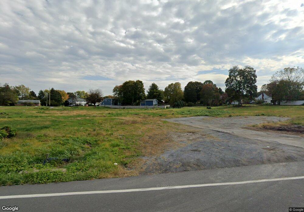
359 Sand Hill Rd Hershey, PA 17033
Estimated Value: $306,649 - $359,000
3
Beds
1
Bath
926
Sq Ft
$357/Sq Ft
Est. Value
About This Home
This home is located at 359 Sand Hill Rd, Hershey, PA 17033 and is currently estimated at $330,662, approximately $357 per square foot. 359 Sand Hill Rd is a home located in Dauphin County with nearby schools including Hershey Elementary School, Hershey Primary Elementary School, and Hershey Middle School.
Ownership History
Date
Name
Owned For
Owner Type
Purchase Details
Closed on
Jun 2, 2022
Sold by
C & S Kray Real Estate Llc
Bought by
Linlo Governor Crossing Llc
Current Estimated Value
Home Financials for this Owner
Home Financials are based on the most recent Mortgage that was taken out on this home.
Original Mortgage
$4,240,875
Outstanding Balance
$4,029,182
Interest Rate
5.1%
Mortgage Type
New Conventional
Estimated Equity
-$3,698,520
Purchase Details
Closed on
Dec 29, 2017
Sold by
Plebani Joseph T
Bought by
C&S Kray Real Estate Llc
Create a Home Valuation Report for This Property
The Home Valuation Report is an in-depth analysis detailing your home's value as well as a comparison with similar homes in the area
Home Values in the Area
Average Home Value in this Area
Purchase History
| Date | Buyer | Sale Price | Title Company |
|---|---|---|---|
| Linlo Governor Crossing Llc | $5,530,060 | Capstone Land Transfer Llc | |
| C&S Kray Real Estate Llc | $475,000 | None Available |
Source: Public Records
Mortgage History
| Date | Status | Borrower | Loan Amount |
|---|---|---|---|
| Open | Linlo Governor Crossing Llc | $4,240,875 |
Source: Public Records
Tax History
| Year | Tax Paid | Tax Assessment Tax Assessment Total Assessment is a certain percentage of the fair market value that is determined by local assessors to be the total taxable value of land and additions on the property. | Land | Improvement |
|---|---|---|---|---|
| 2025 | $831 | $26,600 | $26,600 | $0 |
| 2024 | $781 | $26,600 | $26,600 | $0 |
| 2023 | $767 | $26,600 | $26,600 | $0 |
| 2022 | $750 | $26,600 | $26,600 | $0 |
| 2021 | $1,831 | $64,900 | $26,600 | $38,300 |
| 2020 | $1,831 | $64,900 | $26,600 | $38,300 |
| 2019 | $704 | $64,900 | $26,600 | $38,300 |
| 2018 | $1,750 | $64,900 | $26,600 | $38,300 |
| 2017 | $1,750 | $64,900 | $26,600 | $38,300 |
| 2016 | $0 | $64,900 | $26,600 | $38,300 |
| 2015 | -- | $64,900 | $26,600 | $38,300 |
| 2014 | -- | $64,900 | $26,600 | $38,300 |
Source: Public Records
Map
Nearby Homes
- 81 Locust Ave
- 29 Almond Dr
- 104 Cambridge Dr
- 46 W Governor Rd
- 81 Cambridge Dr
- 15 W Governor Rd
- 519 Cedar Ave
- 420 Cedar Ave
- 24 Glasgow Ct
- 33 Sterling Ct
- 962 W Areba Ave
- 319 Cedar Ave
- 251 Maple Ave
- 228 Hockersville Rd
- 419 W Areba Ave
- 147 Elm Ave
- 115 S Hills Dr
- 118 Elm Ave
- 1343 Church Rd
- 0 Hill Church Rd
- 359 Sand Hill Rd
- 349 Sand Hill Rd
- 354 Sand Hill Rd
- 371 Sand Hill Rd
- 360 Sand Hill Rd
- 672 Fishburn Rd
- 338 Sand Hill Rd
- 379 Sand Hill Rd
- 370 Sand Hill Rd
- 704 Fishburn Rd
- 23 Peach Ave
- 383 Sand Hill Rd
- 29 Peach Ave
- 35 Peach Ave
- 710 Fishburn Rd
- 651 Fishburn Rd
- 322 Sand Hill Rd
- 637 Fishburn Rd
- 380 Sand Hill Rd
- 403 Sand Hill Rd
Your Personal Tour Guide
Ask me questions while you tour the home.