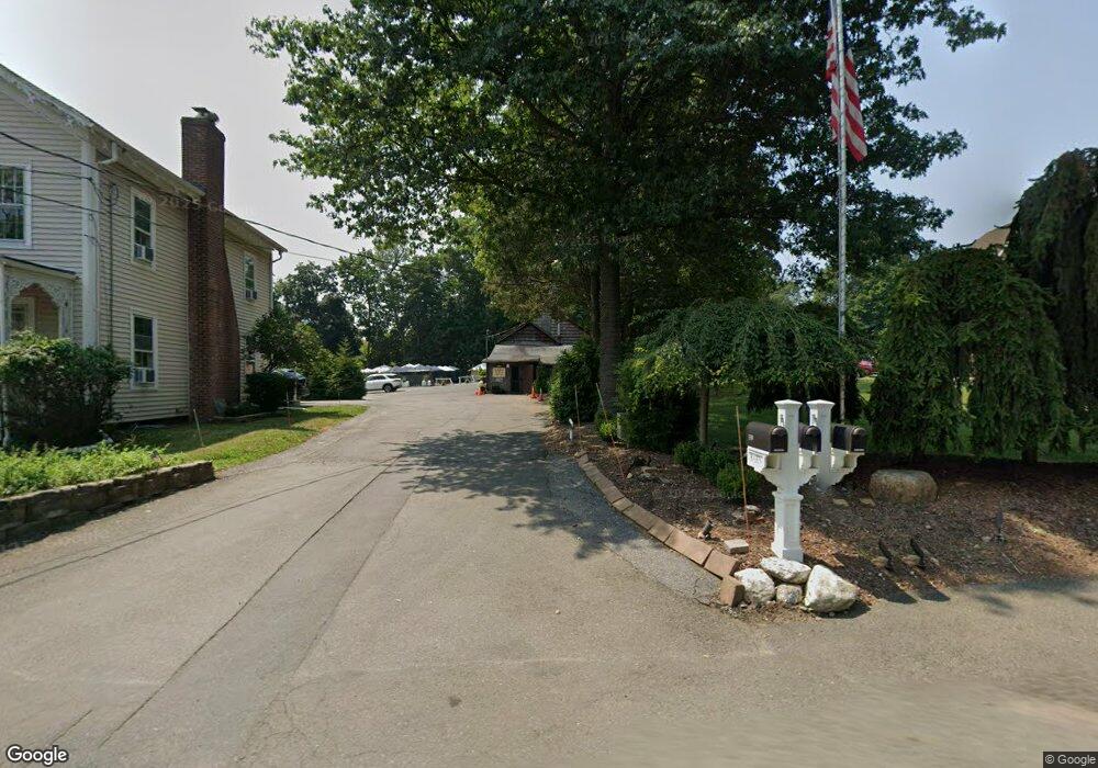
359 Sicomac Ave Wyckoff, NJ 07481
Estimated Value: $1,219,109
3
Beds
3
Baths
--
Sq Ft
1.13
Acres
About This Home
This home is located at 359 Sicomac Ave, Wyckoff, NJ 07481 and is currently estimated at $1,219,109. 359 Sicomac Ave is a home located in Bergen County with nearby schools including Sicomac Elementary School, Dwight D Eisenhower Middle School, and Ramapo High School.
Ownership History
Date
Name
Owned For
Owner Type
Purchase Details
Closed on
Oct 30, 2020
Sold by
Weinstein Jean P and Weinstein Debra J
Bought by
Bmw Holdings Inc
Current Estimated Value
Home Financials for this Owner
Home Financials are based on the most recent Mortgage that was taken out on this home.
Original Mortgage
$696,000
Interest Rate
2.6%
Mortgage Type
New Conventional
Create a Home Valuation Report for This Property
The Home Valuation Report is an in-depth analysis detailing your home's value as well as a comparison with similar homes in the area
Home Values in the Area
Average Home Value in this Area
Purchase History
| Date | Buyer | Sale Price | Title Company |
|---|---|---|---|
| Bmw Holdings Inc | $870,000 | Westcor Land Title | |
| Bmw Holdings Inc | $870,000 | Westcor Land Title |
Source: Public Records
Mortgage History
| Date | Status | Borrower | Loan Amount |
|---|---|---|---|
| Previous Owner | Bmw Holdings Inc | $696,000 |
Source: Public Records
Tax History Compared to Growth
Tax History
| Year | Tax Paid | Tax Assessment Tax Assessment Total Assessment is a certain percentage of the fair market value that is determined by local assessors to be the total taxable value of land and additions on the property. | Land | Improvement |
|---|---|---|---|---|
| 2025 | $20,879 | $1,070,700 | $508,500 | $562,200 |
| 2024 | $20,268 | $1,070,700 | $508,500 | $562,200 |
| 2023 | $19,722 | $1,070,700 | $508,500 | $562,200 |
| 2022 | $19,722 | $1,070,700 | $508,500 | $562,200 |
| 2021 | $19,826 | $1,070,700 | $508,500 | $562,200 |
| 2020 | $19,647 | $1,070,700 | $508,500 | $562,200 |
| 2019 | $19,380 | $1,070,700 | $508,500 | $562,200 |
| 2018 | $19,080 | $1,070,700 | $508,500 | $562,200 |
| 2017 | $18,844 | $1,070,700 | $508,500 | $562,200 |
| 2016 | $18,371 | $1,060,700 | $508,500 | $552,200 |
| 2015 | $17,920 | $1,060,700 | $508,500 | $552,200 |
| 2014 | $16,204 | $1,036,800 | $517,600 | $519,200 |
Source: Public Records
Map
Nearby Homes
- 732 Terrace Heights
- 300 Merrywood Dr
- 144 Emeline Dr
- 484 Caldwell Dr
- 510 Sicomac Ave
- 6 Northwood Dr
- 11 Surrey Place Unit 1
- 11 Surrey Place
- 374 Cedar Hill Ave
- 740 Van Houten Ave
- 400 Goffle Hill Rd
- 113 Highview Ter Land
- 113 Highview Terrace
- 427 Grandview Ave
- 0 Highview Terrace
- 96 Highland Rd
- 70 Highland Rd
- 9 Keiller Ct
- 620 Grandview Terrace
- 29 Columbia Ct
- 363 Sicomac Ave
- 364 Mulberry Ct
- 360 Mulberry Ct
- 368 Mulberry Ct
- 351 Sicomac Ave
- 668 Birchwood Dr
- 371 Sicomac Ave
- 672 Birchwood Dr
- 545 Terhune Terrace
- 356 Mulberry Ct
- 674 Birchwood Dr
- 347 Sicomac Ave
- 363 Mulberry Ct
- 359 Mulberry Ct
- 676 Birchwood Dr
- 352 Mulberry Ct
- 367 Mulberry Ct
- 377 Sicomac Ave
- 661 Mountain Ave
- 370 Sicomac Ave