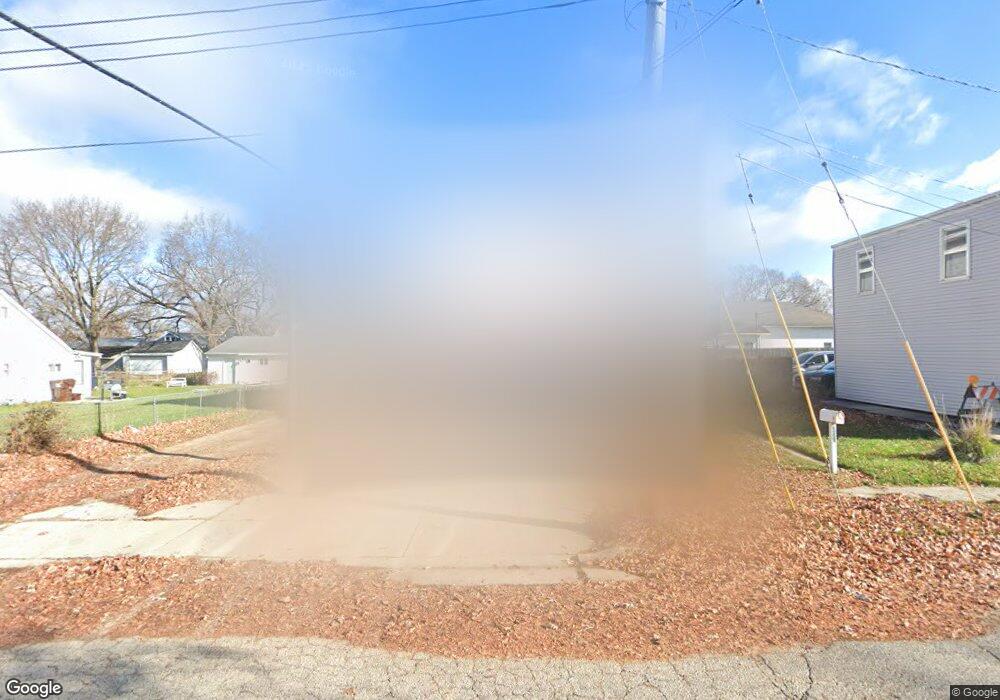
359 Springfield Ave South Beloit, IL 61080
Estimated Value: $111,000 - $137,000
2
Beds
2
Baths
870
Sq Ft
$144/Sq Ft
Est. Value
About This Home
This home is located at 359 Springfield Ave, South Beloit, IL 61080 and is currently estimated at $125,690, approximately $144 per square foot. 359 Springfield Ave is a home located in Winnebago County with nearby schools including Clark Elementary School, Riverview Elementary School, and Blackhawk Elementary School.
Ownership History
Date
Name
Owned For
Owner Type
Purchase Details
Closed on
Apr 10, 2001
Sold by
John Walters and John Ruby A
Bought by
Joseph Enna P
Current Estimated Value
Home Financials for this Owner
Home Financials are based on the most recent Mortgage that was taken out on this home.
Original Mortgage
$57,324
Interest Rate
4.25%
Mortgage Type
New Conventional
Create a Home Valuation Report for This Property
The Home Valuation Report is an in-depth analysis detailing your home's value as well as a comparison with similar homes in the area
Home Values in the Area
Average Home Value in this Area
Purchase History
| Date | Buyer | Sale Price | Title Company |
|---|---|---|---|
| Joseph Enna P | $57,000 | Title Underwriters Agency | |
| Enna Joseph | $57,000 | -- |
Source: Public Records
Mortgage History
| Date | Status | Borrower | Loan Amount |
|---|---|---|---|
| Previous Owner | Joseph Enna P | $57,324 |
Source: Public Records
Tax History
| Year | Tax Paid | Tax Assessment Tax Assessment Total Assessment is a certain percentage of the fair market value that is determined by local assessors to be the total taxable value of land and additions on the property. | Land | Improvement |
|---|---|---|---|---|
| 2024 | $2,280 | $36,157 | $1,074 | $35,083 |
| 2023 | $1,933 | $29,309 | $871 | $28,438 |
| 2022 | $1,797 | $26,776 | $796 | $25,980 |
| 2021 | $1,703 | $25,057 | $745 | $24,312 |
| 2020 | $1,652 | $24,261 | $721 | $23,540 |
| 2019 | $1,633 | $23,371 | $695 | $22,676 |
| 2018 | $1,556 | $22,275 | $662 | $21,613 |
| 2017 | $1,571 | $21,351 | $635 | $20,716 |
| 2016 | $1,526 | $20,651 | $614 | $20,037 |
| 2015 | $1,504 | $20,179 | $600 | $19,579 |
| 2014 | $1,505 | $20,179 | $600 | $19,579 |
Source: Public Records
Map
Nearby Homes
- 346 Whittemore Dr
- 666 S Bluff #818 St
- 666 S Bluff #402 St
- 1918 Oak Leaf Dr
- 565 Northwestern Ave
- 532 Lathrop Terrace
- 1523 Fern (Lots 38-42) Ln
- 1523 Fern Ln
- 1526 Fern Ln
- 1527 Fern Ln
- 1531 Fern Ln
- 701 Salmon Ave
- 215 S Moore St
- 615 Winfield Dr
- 110 S 8th St
- 0000-03 Nautical Ct
- 0000-04 Nautical Ct
- 14072 Wild Deer Ct
- 133 S Garfield Ave
- 127 S Blackhawk Blvd
- 1320 Blackhawk Blvd
- 1314 Blackhawk Blvd
- 355 Springfield Ave
- 353 Springfield Ave
- 352 Springfield Ave
- 352 Springfield Ave Unit A
- 352 Springfield Ave Unit B
- 347 Springfield Ave
- 358 Fair Oaks Blvd
- 358 Fair Oaks Blvd Unit Upper Apartment A
- 1304 Blackhawk Blvd
- 1304 Blackhawk Blvd Unit 1304 Upper
- 350 Fair Oaks Blvd
- 348 Springfield Ave
- 341 Springfield Ave
- 346 Springfield Ave
- 348 Fair Oaks Blvd
- 339 Springfield Ave
- 357 Oakland Ave
- 340 Springfield Ave
Your Personal Tour Guide
Ask me questions while you tour the home.