359 W Bluff Rd Point Roberts, WA 98281
Estimated Value: $847,000 - $1,466,995
5
Beds
5
Baths
2,119
Sq Ft
$606/Sq Ft
Est. Value
About This Home
This home is located at 359 W Bluff Rd, Point Roberts, WA 98281 and is currently estimated at $1,283,999, approximately $605 per square foot. 359 W Bluff Rd is a home located in Whatcom County with nearby schools including Point Roberts Primary School, Blaine Middle School, and Blaine High School.
Ownership History
Date
Name
Owned For
Owner Type
Purchase Details
Closed on
Jun 26, 2018
Sold by
Fisher Susan Elaine and Fisher Michael
Bought by
Fisher Michael
Current Estimated Value
Home Financials for this Owner
Home Financials are based on the most recent Mortgage that was taken out on this home.
Original Mortgage
$200,000
Interest Rate
4.6%
Mortgage Type
Purchase Money Mortgage
Purchase Details
Closed on
Oct 22, 2014
Sold by
Martin Andrew
Bought by
Fisher Michael
Home Financials for this Owner
Home Financials are based on the most recent Mortgage that was taken out on this home.
Original Mortgage
$200,000
Interest Rate
4.2%
Mortgage Type
Commercial
Create a Home Valuation Report for This Property
The Home Valuation Report is an in-depth analysis detailing your home's value as well as a comparison with similar homes in the area
Home Values in the Area
Average Home Value in this Area
Purchase History
| Date | Buyer | Sale Price | Title Company |
|---|---|---|---|
| Fisher Michael | -- | Whatcom Land Title | |
| Fisher Michael | $600,000 | Whatcom Land Title |
Source: Public Records
Mortgage History
| Date | Status | Borrower | Loan Amount |
|---|---|---|---|
| Closed | Fisher Michael | $200,000 | |
| Closed | Fisher Michael | $200,000 |
Source: Public Records
Tax History Compared to Growth
Tax History
| Year | Tax Paid | Tax Assessment Tax Assessment Total Assessment is a certain percentage of the fair market value that is determined by local assessors to be the total taxable value of land and additions on the property. | Land | Improvement |
|---|---|---|---|---|
| 2024 | $5,865 | $779,828 | $433,620 | $346,208 |
| 2023 | $5,865 | $740,408 | $394,200 | $346,208 |
| 2022 | $4,694 | $676,172 | $360,000 | $316,172 |
| 2021 | $5,031 | $488,009 | $299,760 | $188,249 |
| 2020 | $5,001 | $488,009 | $299,760 | $188,249 |
| 2019 | $4,626 | $468,278 | $287,640 | $180,638 |
| 2018 | $4,617 | $421,392 | $258,840 | $162,552 |
| 2017 | $3,962 | $402,442 | $247,200 | $155,242 |
| 2016 | $3,833 | $390,720 | $240,000 | $150,720 |
| 2015 | $4,038 | $367,408 | $236,664 | $130,744 |
| 2014 | -- | $380,296 | $244,800 | $135,496 |
| 2013 | -- | $364,307 | $235,200 | $129,107 |
Source: Public Records
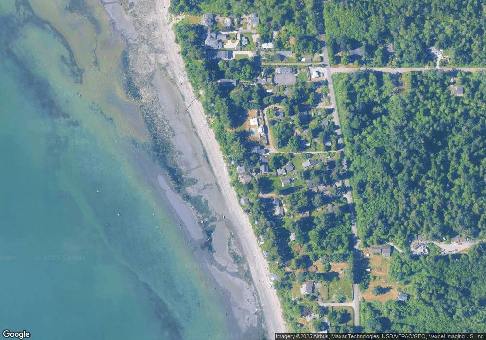
Map
Nearby Homes
- 329 Gulf View Crescent
- 381 W Bluff Rd
- 421 W Bluff Rd
- 279 Marine Dr
- 585 Marine Dr
- Lot #8 Marine Dr
- 11 Lot Rex St
- 230 Iris Blvd
- 1379 Gulf Rd
- 0 Peltier Dr Unit NWM2406572
- 0 Peltier Dr Unit NWM2444621
- 581 Marine Dr
- 1361 Peltier Dr
- 1438 Gulf Rd
- 1542 Columbia Vista Dr
- 631 Freemans Ln
- 0 Marine Dr Unit NWM2439086
- 158 Tyee Dr
- 168 Tyee Dr
- 1518 #10 Churchill Dr
- 355 W Bluff Rd
- 371 W Bluff Rd
- 362 W Bluff Rd
- 353 Gulf View Crescent
- 364 W Bluff Rd
- 384 W Bluff Rd
- 1279 Gulf View Crescent
- 366 W Bluff Rd
- 389 W Bluff Rd
- 1289 Gulf View Crescent
- 380 W Bluff Rd
- 345 Gulf View Crescent
- 339 Gulf View Crescent
- 1300 Sunset Dr
- 1299 Gulf View Crescent
- 397 W Bluff Rd
- 344 Gulf View Crescent
- 1299 Sunset Dr
- 1291 Broughton Ln
- 337 Gulf View Crescent