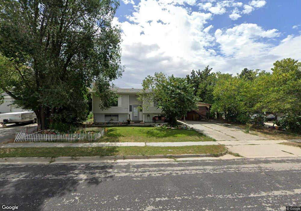
359 W Westland Dr Brigham City, UT 84302
Estimated Value: $346,000 - $395,000
4
Beds
2
Baths
1,824
Sq Ft
$201/Sq Ft
Est. Value
About This Home
This home is located at 359 W Westland Dr, Brigham City, UT 84302 and is currently estimated at $365,828, approximately $200 per square foot. 359 W Westland Dr is a home located in Box Elder County with nearby schools including Lake View Elementary School, Adele C. Young Intermediate School, and Box Elder Middle School.
Ownership History
Date
Name
Owned For
Owner Type
Purchase Details
Closed on
Aug 3, 2020
Sold by
Pederson Duard S
Bought by
Fernandez Carlos and Fernandez Maria Silva
Current Estimated Value
Home Financials for this Owner
Home Financials are based on the most recent Mortgage that was taken out on this home.
Original Mortgage
$221,160
Outstanding Balance
$196,547
Interest Rate
3.1%
Mortgage Type
New Conventional
Estimated Equity
$169,281
Create a Home Valuation Report for This Property
The Home Valuation Report is an in-depth analysis detailing your home's value as well as a comparison with similar homes in the area
Home Values in the Area
Average Home Value in this Area
Purchase History
| Date | Buyer | Sale Price | Title Company |
|---|---|---|---|
| Fernandez Carlos | -- | American Secure Ttl Brigham |
Source: Public Records
Mortgage History
| Date | Status | Borrower | Loan Amount |
|---|---|---|---|
| Open | Fernandez Carlos | $221,160 |
Source: Public Records
Tax History Compared to Growth
Tax History
| Year | Tax Paid | Tax Assessment Tax Assessment Total Assessment is a certain percentage of the fair market value that is determined by local assessors to be the total taxable value of land and additions on the property. | Land | Improvement |
|---|---|---|---|---|
| 2025 | $1,670 | $329,082 | $105,000 | $224,082 |
| 2024 | $1,670 | $321,604 | $100,000 | $221,604 |
| 2023 | $1,686 | $332,389 | $95,000 | $237,389 |
| 2022 | $1,695 | $170,847 | $22,000 | $148,847 |
| 2021 | $1,300 | $198,213 | $40,000 | $158,213 |
| 2020 | $1,220 | $198,213 | $40,000 | $158,213 |
| 2019 | $1,145 | $99,006 | $22,000 | $77,006 |
| 2018 | $1,035 | $88,962 | $22,000 | $66,962 |
| 2017 | $837 | $124,539 | $16,500 | $94,539 |
| 2016 | $877 | $66,020 | $16,500 | $49,520 |
| 2015 | $819 | $61,519 | $16,500 | $45,019 |
| 2014 | $819 | $59,375 | $16,500 | $42,875 |
| 2013 | -- | $59,375 | $16,500 | $42,875 |
Source: Public Records
Map
Nearby Homes
- 1002 Grandview Rd
- 1060 S Main St Unit 74
- 314 W 1550 S
- 869 W 1025 S
- 417 Skyline Dr Unit 6
- 134 Skyline Dr
- 165 1600 S
- 1568 S 125 W
- 1670 S Highway 89
- 337 Skyline Dr Unit 2
- 140 W Hill Haven Dr
- 1542 Valley View Dr
- 1795 S 225 W
- 641 S 500 W
- 770 S 400 E Unit 50
- 165 E 1550 S
- 1873 S 300 W Unit 19
- 562 S 300 W
- 39 E 1800 S
- 515 S 700 W
- 349 W Westland Dr
- 349 Westland Dr
- 379 Westland Dr
- 329 Westland Dr
- 399 Westland Dr
- 378 Westland Dr
- 1087 Shannon Cir
- 1089 Shannon Cir
- 315 Westland Dr
- 328 Westland Dr
- 419 Westland Dr
- 1058 Shannon Cir
- 1059 Shannon Cir
- 1083 Shannon Cir
- 1078 Linda Way
- 299 W Westland Dr
- 439 W Westland Dr
- 1054 Shannon Cir
- 1055 Shannon Cir
- 438 Westland Dr