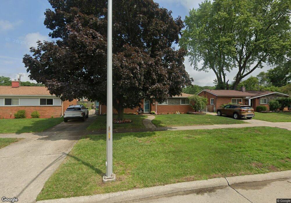
35904 Avondale St Westland, MI 48186
Estimated Value: $188,381 - $208,000
3
Beds
1
Bath
1,103
Sq Ft
$177/Sq Ft
Est. Value
About This Home
This home is located at 35904 Avondale St, Westland, MI 48186 and is currently estimated at $195,595, approximately $177 per square foot. 35904 Avondale St is a home located in Wayne County with nearby schools including Wildwood Elementary School, Adlai Stevenson Middle School, and John Glenn High School.
Ownership History
Date
Name
Owned For
Owner Type
Purchase Details
Closed on
Mar 4, 2016
Sold by
Tapp Michelle L
Bought by
Wypycha Paula
Current Estimated Value
Purchase Details
Closed on
Aug 9, 2010
Sold by
Tapp Michelle
Bought by
Wypycha Paula
Purchase Details
Closed on
Oct 22, 2008
Sold by
Mills William
Bought by
Wachovia Mortgage Corporation
Purchase Details
Closed on
Jun 16, 2006
Sold by
Niemeyer Adrienne R
Bought by
Mills William
Purchase Details
Closed on
Feb 10, 2004
Sold by
Dennis Shannon M
Bought by
Niemeyer Adrienne R
Purchase Details
Closed on
Oct 29, 2003
Sold by
Dennis Shannon M
Bought by
Flagstar Bank Fsb
Purchase Details
Closed on
Dec 17, 1999
Sold by
Winfrey Ann M
Bought by
Dennis Shannon M
Create a Home Valuation Report for This Property
The Home Valuation Report is an in-depth analysis detailing your home's value as well as a comparison with similar homes in the area
Home Values in the Area
Average Home Value in this Area
Purchase History
| Date | Buyer | Sale Price | Title Company |
|---|---|---|---|
| Wypycha Paula | -- | 1St Security Title Agency In | |
| Wypycha Paula | -- | 1St Security Title Agency | |
| Wachovia Mortgage Corporation | $80,100 | None Available | |
| Mills William | $136,400 | None Available | |
| Niemeyer Adrienne R | $123,000 | Minnesota Title Agency | |
| Flagstar Bank Fsb | $91,067 | -- | |
| Dennis Shannon M | $108,000 | -- |
Source: Public Records
Tax History
| Year | Tax Paid | Tax Assessment Tax Assessment Total Assessment is a certain percentage of the fair market value that is determined by local assessors to be the total taxable value of land and additions on the property. | Land | Improvement |
|---|---|---|---|---|
| 2025 | $1,651 | $87,900 | $0 | $0 |
| 2024 | $1,619 | $81,900 | $0 | $0 |
| 2023 | $1,546 | $73,300 | $0 | $0 |
| 2022 | $1,814 | $65,300 | $0 | $0 |
| 2021 | $1,768 | $62,800 | $0 | $0 |
| 2020 | $1,749 | $57,300 | $0 | $0 |
| 2019 | $1,685 | $55,300 | $0 | $0 |
| 2018 | $1,272 | $48,000 | $0 | $0 |
| 2017 | $626 | $44,200 | $0 | $0 |
| 2016 | $1,636 | $44,100 | $0 | $0 |
| 2015 | $3,148 | $39,410 | $0 | $0 |
| 2013 | $3,050 | $31,130 | $0 | $0 |
| 2012 | $1,553 | $32,940 | $0 | $0 |
Source: Public Records
Map
Nearby Homes
- 36034 Rolf St
- 35691 Fairchild St
- 35840 Oakwood Ln
- 35564 Florane St
- 36051 Glen St
- 35820 Hazelwood St
- 36419 Avondale St
- 35831 Somerset St
- 1347 S Carlson St
- 344 S Christine
- 32730 Palmer Rd
- 35239 Palmer Rd
- 1620 Regene St
- 34551 Hiveley St
- 1645 Regene St
- 00 S Newburgh Rd
- 0 S Newburgh Rd
- 1806 Treadwell St
- 357 S Byfield St
- 1909 S Christine
- 35870 Avondale St
- 35916 Avondale St
- 35827 Rolf St
- 35815 Rolf St
- 35839 Rolf St
- 35928 Avondale St
- 35858 Avondale St
- 35759 Rolf St
- 35851 Rolf St
- 35846 Avondale St
- 35940 Avondale St
- 35887 Thames St
- 35747 Rolf St
- 35863 Rolf St
- 35834 Avondale St
- 35952 Avondale St
- 35875 Thames St
- 35874 Thames St
- 35845 Avondale St
- 35935 Avondale St
Your Personal Tour Guide
Ask me questions while you tour the home.