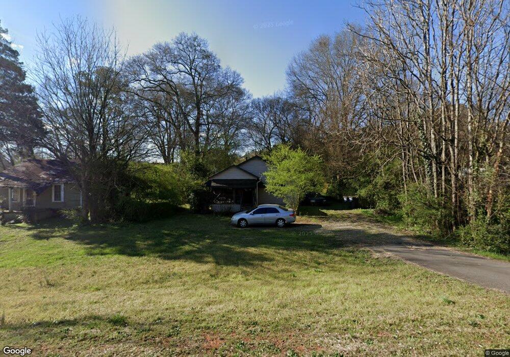
3591 Clay Rd Austell, GA 30106
Estimated Value: $134,000 - $247,000
2
Beds
1
Bath
728
Sq Ft
$231/Sq Ft
Est. Value
About This Home
This home is located at 3591 Clay Rd, Austell, GA 30106 and is currently estimated at $168,081, approximately $230 per square foot. 3591 Clay Rd is a home located in Cobb County with nearby schools including Clarkdale Elementary School, Cooper Middle School, and South Cobb High School.
Ownership History
Date
Name
Owned For
Owner Type
Purchase Details
Closed on
Oct 26, 2004
Sold by
Varner Ents Lllp
Bought by
Farmer Rebecca
Current Estimated Value
Home Financials for this Owner
Home Financials are based on the most recent Mortgage that was taken out on this home.
Original Mortgage
$15,000
Interest Rate
5.65%
Mortgage Type
Stand Alone Refi Refinance Of Original Loan
Create a Home Valuation Report for This Property
The Home Valuation Report is an in-depth analysis detailing your home's value as well as a comparison with similar homes in the area
Home Values in the Area
Average Home Value in this Area
Purchase History
| Date | Buyer | Sale Price | Title Company |
|---|---|---|---|
| Farmer Rebecca | $67,500 | -- |
Source: Public Records
Mortgage History
| Date | Status | Borrower | Loan Amount |
|---|---|---|---|
| Closed | Farmer Rebecca | $15,000 |
Source: Public Records
Tax History
| Year | Tax Paid | Tax Assessment Tax Assessment Total Assessment is a certain percentage of the fair market value that is determined by local assessors to be the total taxable value of land and additions on the property. | Land | Improvement |
|---|---|---|---|---|
| 2025 | $260 | $55,920 | $30,996 | $24,924 |
| 2024 | $242 | $49,372 | $29,752 | $19,620 |
| 2023 | $82 | $45,448 | $29,752 | $15,696 |
Source: Public Records
Map
Nearby Homes
- 3700 Moore Rd
- 4568 Austell Powder Springs Rd
- 3311 Clay Rd
- 3289 Clay Rd SW
- 4462 Wesley Way
- 5120 A & B Newark Ave SW
- 4412 Brick Tunnel St
- 4419 Brick Tunnel St
- 4431 Brick Tunnel St
- 4427 Brick Tunnel St
- 4280 Creek Crest Trail
- Northbrook Plan at Westmont Preserve
- Johnson Plan at Westmont Preserve
- Gibson Plan at Westmont Preserve
- Sherwood Plan at Westmont Preserve
- Taylorsville Plan at Westmont Preserve
- Johnson Basement Plan at Westmont Preserve
- Dakota Plan at Westmont Preserve
- Taylorsville Basement Plan at Westmont Preserve
- 3411 Lynne Rd
- 3581 Clay Rd
- 3571 Clay Rd
- 4720 Austell Powder Springs Rd
- 4751 Austell Powder Springs Rd
- 3582 Old Thompson Rd
- 3610 Clay Rd
- 3612 Old Thompson Rd
- 3651 Austell Powder Springs Rd
- 4705 Austell Powder Springs Rd
- 3606 Clay Rd
- 4705 Austell Powder Springs
- 3651 Austell Powder Springs
- 3584 Clay Rd
- 4705 Austell Powder Springs Rd SW
- 4730 Austell Powder Springs Rd
- 3551 Clay Rd
- 3630 Moore Rd
- 4637 Carter Rd
- 3620 Clay Rd
- 3550 Old Thompson Rd
Your Personal Tour Guide
Ask me questions while you tour the home.