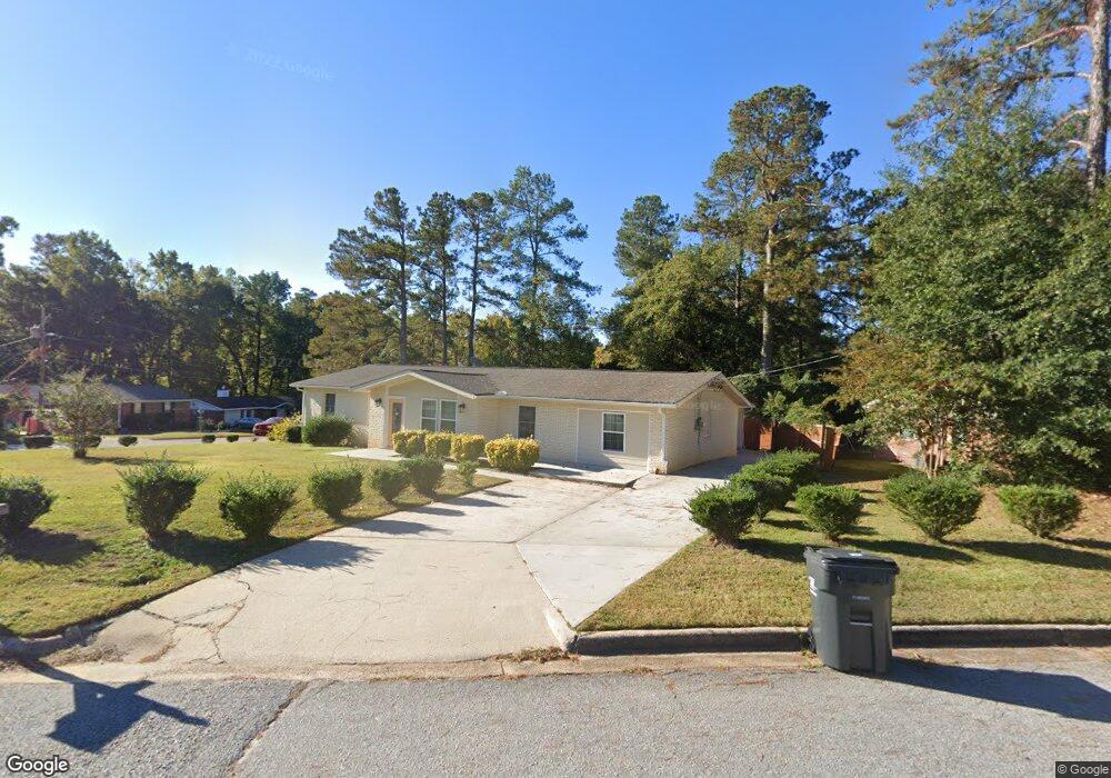
3591 Marlboro Way Augusta, GA 30907
Estimated Value: $267,000 - $286,000
3
Beds
2
Baths
1,936
Sq Ft
$141/Sq Ft
Est. Value
About This Home
This home is located at 3591 Marlboro Way, Augusta, GA 30907 and is currently estimated at $273,562, approximately $141 per square foot. 3591 Marlboro Way is a home located in Columbia County with nearby schools including Stevens Creek Elementary School, Stallings Island Middle School, and Lakeside High School.
Ownership History
Date
Name
Owned For
Owner Type
Purchase Details
Closed on
May 17, 2018
Sold by
Godoy Maria
Bought by
3591 Marlboro Way Land Trust
Current Estimated Value
Purchase Details
Closed on
Jan 25, 2016
Sold by
Jackson Janice M
Bought by
Godoy Maria and Lizama Sergio
Home Financials for this Owner
Home Financials are based on the most recent Mortgage that was taken out on this home.
Original Mortgage
$105,450
Interest Rate
3.98%
Purchase Details
Closed on
Jan 13, 2016
Sold by
Palmer Christopher W
Bought by
Godoy Maria and Lizama Sergio
Home Financials for this Owner
Home Financials are based on the most recent Mortgage that was taken out on this home.
Original Mortgage
$105,450
Interest Rate
3.98%
Create a Home Valuation Report for This Property
The Home Valuation Report is an in-depth analysis detailing your home's value as well as a comparison with similar homes in the area
Home Values in the Area
Average Home Value in this Area
Purchase History
| Date | Buyer | Sale Price | Title Company |
|---|---|---|---|
| 3591 Marlboro Way Land Trust | -- | -- | |
| Godoy Maria | $111,000 | -- | |
| Godoy Maria | -- | -- |
Source: Public Records
Mortgage History
| Date | Status | Borrower | Loan Amount |
|---|---|---|---|
| Previous Owner | Godoy Maria | $105,450 |
Source: Public Records
Tax History Compared to Growth
Tax History
| Year | Tax Paid | Tax Assessment Tax Assessment Total Assessment is a certain percentage of the fair market value that is determined by local assessors to be the total taxable value of land and additions on the property. | Land | Improvement |
|---|---|---|---|---|
| 2025 | $2,418 | $98,910 | $20,104 | $78,806 |
| 2024 | $2,793 | $109,450 | $20,104 | $89,346 |
| 2023 | $2,793 | $91,292 | $17,004 | $74,288 |
| 2022 | $2,165 | $81,064 | $14,004 | $67,060 |
| 2021 | $2,166 | $77,507 | $13,804 | $63,703 |
| 2020 | $2,081 | $72,838 | $13,104 | $59,734 |
| 2019 | $1,865 | $65,054 | $11,204 | $53,850 |
| 2018 | $685 | $67,260 | $13,204 | $54,056 |
| 2017 | $471 | $44,400 | $8,704 | $35,696 |
| 2016 | $1,398 | $49,686 | $7,580 | $42,106 |
| 2015 | $1,285 | $45,398 | $9,880 | $35,518 |
| 2014 | $1,202 | $41,808 | $9,880 | $31,928 |
Source: Public Records
Map
Nearby Homes
- 414 Parliament Rd
- 3593 Westhampton Dr
- 3597 Parliament Ln
- 3599 Parliament Ln
- 345 Old Salem Way
- 271 Watervale Rd
- 3105 Hidden Ct
- 3555 Watervale Way
- 3637 Foxfire Place
- 320 Furys Ferry Rd
- 712 Cool Brook Ct
- 307 Old Salem Way
- 717 Hidden Ln
- 315 Rabun Valley Ln
- 3667 Foxfire Place
- 816 Brookfield Pkwy
- 4120 Shady Oaks Dr
- 1094 Hampstead Place
- 3750 Roscommon S
- 3527 Granite Way
- 3593 Marlboro Way
- 3674 Marlboro St
- 3597 Marlboro St
- 3658 Marlboro St
- 3592 Marlboro Way
- 3595 Marlboro Way
- 3594 Marlboro Way
- 3660 Marlboro St
- 3656 Marlboro St
- 3594 Parliament Ln
- 3596 Marlboro Way
- 3662 Marlboro St
- 3597 Marlboro Way
- 3654 Marlboro St
- 3596 Parliament Ln
- 3598 Marlboro Way
- 3664 Marlboro St
- 3593 Parliament Place
- 3591 Parliament Ln
- 3591 Marlboro St