3593 N State Route 53 Fremont, OH 43420
Estimated Value: $465,000 - $549,292
3
Beds
3
Baths
3,255
Sq Ft
$155/Sq Ft
Est. Value
About This Home
This home is located at 3593 N State Route 53, Fremont, OH 43420 and is currently estimated at $503,097, approximately $154 per square foot. 3593 N State Route 53 is a home located in Sandusky County with nearby schools including Fremont Ross High School, St. Ann Catholic School, and St. Joseph School.
Ownership History
Date
Name
Owned For
Owner Type
Purchase Details
Closed on
Feb 13, 2018
Sold by
Ardner James E and Ardner Linda K
Bought by
Scherzer Gina K and Ardner Jacob E
Current Estimated Value
Purchase Details
Closed on
Mar 13, 1998
Sold by
Reassure America Life In
Bought by
Ardner James E and Ardner Linda K
Home Financials for this Owner
Home Financials are based on the most recent Mortgage that was taken out on this home.
Original Mortgage
$86,400
Interest Rate
9.25%
Mortgage Type
New Conventional
Purchase Details
Closed on
Apr 1, 1991
Bought by
Ardner James E and Ardner Linda K
Create a Home Valuation Report for This Property
The Home Valuation Report is an in-depth analysis detailing your home's value as well as a comparison with similar homes in the area
Home Values in the Area
Average Home Value in this Area
Purchase History
| Date | Buyer | Sale Price | Title Company |
|---|---|---|---|
| Scherzer Gina K | -- | None Available | |
| Ardner James E | $108,000 | -- | |
| Ardner James E | $110,000 | -- |
Source: Public Records
Mortgage History
| Date | Status | Borrower | Loan Amount |
|---|---|---|---|
| Closed | Ardner James E | $86,400 |
Source: Public Records
Tax History Compared to Growth
Tax History
| Year | Tax Paid | Tax Assessment Tax Assessment Total Assessment is a certain percentage of the fair market value that is determined by local assessors to be the total taxable value of land and additions on the property. | Land | Improvement |
|---|---|---|---|---|
| 2024 | $5,950 | $154,670 | $21,390 | $133,280 |
| 2023 | $5,950 | $140,600 | $19,430 | $121,170 |
| 2022 | $5,726 | $140,600 | $19,430 | $121,170 |
| 2021 | $5,903 | $140,600 | $19,430 | $121,170 |
| 2020 | $5,290 | $123,940 | $19,010 | $104,930 |
| 2019 | $5,117 | $123,940 | $19,010 | $104,930 |
| 2018 | $5,126 | $123,940 | $19,010 | $104,930 |
| 2017 | $4,725 | $113,930 | $18,550 | $95,380 |
| 2016 | $4,154 | $113,930 | $18,550 | $95,380 |
| 2015 | $4,085 | $113,930 | $18,550 | $95,380 |
| 2014 | $4,172 | $110,670 | $16,100 | $94,570 |
| 2013 | $4,083 | $110,670 | $16,100 | $94,570 |
Source: Public Records
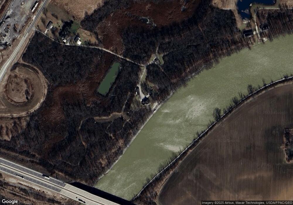
Map
Nearby Homes
- 0 Sean Dr
- Outlot A Sean Dr
- 3285 County Road 170
- 1730 Port Clinton Rd Unit 41
- 1730 Port Clinton Rd
- 1730 Port Clinton Rd Unit 33
- 2219 Oak Harbor Rd
- 711 Bloom Rd
- 2100 Ohio 53
- 1301 Ohio 523 Unit 55
- 1301 Ohio 523 Unit 39
- 1301 Ohio 523 Unit 15
- 2939 County Road 206
- 1441 White Ave
- 2087 County Road 216
- 0 County Road 210
- 1227 White Ave
- 1548 North St
- 900 Spring St
- 1720 North St
- 3615 N State Route 53
- 1000 Springwood Dr
- 3613 N State Route 53
- 3660 Ohio 53
- 344 Riverside Dr
- 3363 Logsdon Dr
- 315 Riverside Dr
- 385 Gilbert Dr
- 385 Gilbert Dr
- 345 Riverside Dr
- 1007 Springwood Dr
- 378 Gilbert Dr
- 839 County Road 99
- 3702 Ohio 53
- 376 Riverside Dr
- 371 Riverside Dr
- 404 Riverside Dr
- 949 Shorewood Dr
- 399 Riverside Dr
- 411 Gilbert Dr