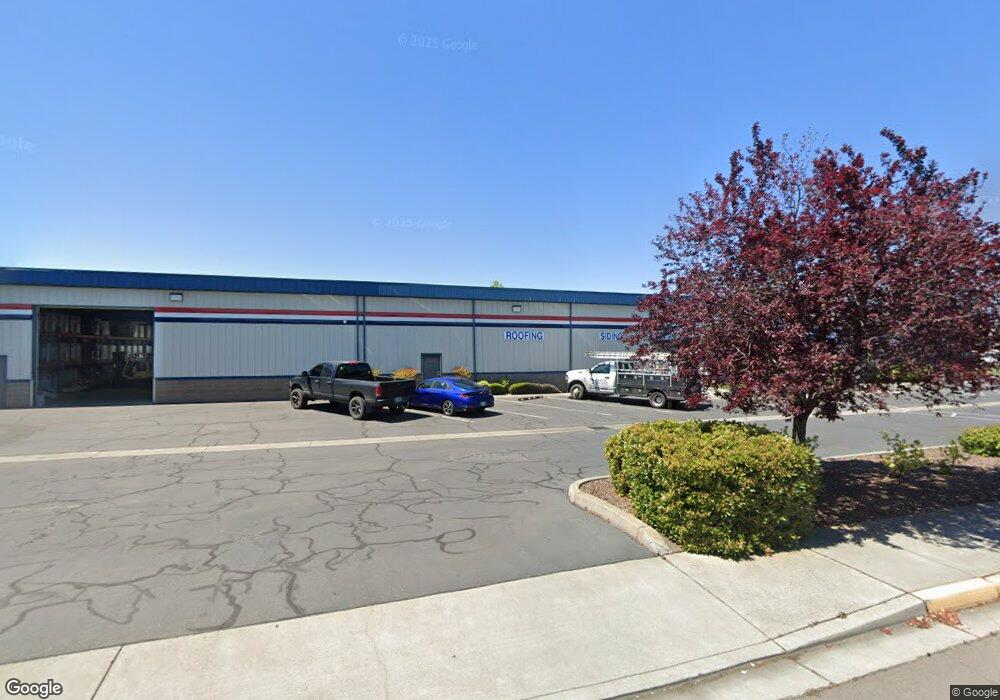
3595 Avion Dr Medford, OR 97504
Estimated Value: $2,978,740
--
Bed
--
Bath
21,375
Sq Ft
$139/Sq Ft
Est. Value
About This Home
This home is located at 3595 Avion Dr, Medford, OR 97504 and is currently estimated at $2,978,740, approximately $139 per square foot. 3595 Avion Dr is a home located in Jackson County with nearby schools including Wilson Elementary School, Hedrick Middle School, and North Medford High School.
Ownership History
Date
Name
Owned For
Owner Type
Purchase Details
Closed on
Jan 6, 2022
Sold by
Kimmel Family Foundation
Bought by
Bacchus Investors Llc and Bearcat Investments Properties
Current Estimated Value
Home Financials for this Owner
Home Financials are based on the most recent Mortgage that was taken out on this home.
Original Mortgage
$2,700,000
Outstanding Balance
$2,124,313
Interest Rate
2.33%
Mortgage Type
New Conventional
Estimated Equity
$854,427
Purchase Details
Closed on
Jul 23, 2014
Sold by
Helms M Wayne and Helms Mary E
Bought by
Helms Family Trust
Purchase Details
Closed on
Jun 27, 2014
Sold by
Helms M Wayne and Helms Mary E
Bought by
Helms Marvin Wayne and Helms Mary E
Purchase Details
Closed on
Apr 16, 1999
Sold by
Weitman Dean L and Sneed Perry H
Bought by
Bruce & Dana Wholesale Inc
Create a Home Valuation Report for This Property
The Home Valuation Report is an in-depth analysis detailing your home's value as well as a comparison with similar homes in the area
Home Values in the Area
Average Home Value in this Area
Purchase History
| Date | Buyer | Sale Price | Title Company |
|---|---|---|---|
| Bacchus Investors Llc | $3,600,000 | Amerititle | |
| Helms Family Trust | -- | None Available | |
| Helms Marvin Wayne | -- | None Available | |
| Bruce & Dana Wholesale Inc | $325,000 | Amerititle |
Source: Public Records
Mortgage History
| Date | Status | Borrower | Loan Amount |
|---|---|---|---|
| Open | Bacchus Investors Llc | $2,700,000 |
Source: Public Records
Tax History Compared to Growth
Tax History
| Year | Tax Paid | Tax Assessment Tax Assessment Total Assessment is a certain percentage of the fair market value that is determined by local assessors to be the total taxable value of land and additions on the property. | Land | Improvement |
|---|---|---|---|---|
| 2025 | $28,765 | $1,983,470 | $388,390 | $1,595,080 |
| 2024 | $28,765 | $1,925,700 | $377,080 | $1,548,620 |
| 2023 | $27,533 | $1,846,090 | $366,100 | $1,479,990 |
| 2022 | $26,861 | $1,846,090 | $366,100 | $1,479,990 |
| 2021 | $26,167 | $1,792,330 | $355,440 | $1,436,890 |
| 2020 | $25,613 | $1,740,130 | $345,090 | $1,395,040 |
| 2019 | $25,008 | $1,640,250 | $325,280 | $1,314,970 |
| 2018 | $24,366 | $1,592,480 | $315,810 | $1,276,670 |
| 2017 | $23,926 | $1,592,480 | $315,810 | $1,276,670 |
| 2016 | $24,083 | $1,501,070 | $297,680 | $1,203,390 |
| 2015 | $23,148 | $1,501,070 | $297,680 | $1,203,390 |
| 2014 | $22,740 | $1,414,910 | $280,590 | $1,134,320 |
Source: Public Records
Map
Nearby Homes
- 811 O'Hare Pkwy
- 460 Federal Way
- 1025 Fairfield Ave
- 1017 Fairfield Ave
- 4105 Table Rock Rd
- 1060 Hopkins Rd
- 3119 Merriman Rd
- 4121 Table Rock Rd
- 529 Black Bear Dr
- 246 Reanna Way
- 2772 Merriman Rd
- 4251 Table Rock Rd
- 928 Brandi Way
- 4601 Biddle Rd Unit C
- 921 Pittview Ave
- 4404 Biddle Rd
- 450 Midway Rd Unit 16
- 450 Midway Rd Unit 5
- 881 Westrop Dr
- 201 Orchardview Cir
- 0 Avion Dr
- 3490 Table Rock Rd
- 3524 Table Rock Rd
- 3558 Table Rock Rd
- 3528 Table Rock Rd
- 3600 Avion Dr
- 3466 Table Rock Rd
- 3450 Table Rock Rd
- 3559 National Dr Unit 103
- 3559 National Dr Unit 101
- 3559 National Dr
- 3434 Table Rock Rd
- 3569 National Dr Unit 101
- 3569 National Dr Unit 100 &
- 3569 National Dr Unit 1
- 3569 National Dr
- 801 O'Hare Pkwy
- 811 Ohare Pkwy
- 811 O Hare Pkwy
- 3521 Table Rock Rd