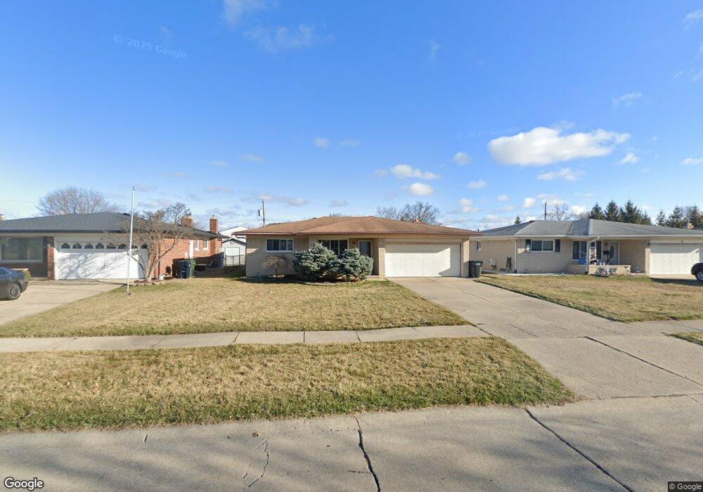
3595 Byrd Dr Sterling Heights, MI 48310
Estimated Value: $282,142 - $328,000
3
Beds
2
Baths
1,436
Sq Ft
$214/Sq Ft
Est. Value
About This Home
This home is located at 3595 Byrd Dr, Sterling Heights, MI 48310 and is currently estimated at $307,286, approximately $213 per square foot. 3595 Byrd Dr is a home located in Macomb County with nearby schools including Angus Elementary School, Grissom Middle School, and Warren Mott High School.
Ownership History
Date
Name
Owned For
Owner Type
Purchase Details
Closed on
Apr 10, 2025
Sold by
Howitt Jean
Bought by
Jean Howitt Revocable Living Trust and Howitt
Current Estimated Value
Purchase Details
Closed on
Jun 29, 2005
Sold by
Howitt Jean and Massey Jean Ann
Bought by
Howitt Jean
Home Financials for this Owner
Home Financials are based on the most recent Mortgage that was taken out on this home.
Original Mortgage
$48,000
Interest Rate
5.68%
Mortgage Type
Stand Alone Refi Refinance Of Original Loan
Create a Home Valuation Report for This Property
The Home Valuation Report is an in-depth analysis detailing your home's value as well as a comparison with similar homes in the area
Home Values in the Area
Average Home Value in this Area
Purchase History
| Date | Buyer | Sale Price | Title Company |
|---|---|---|---|
| Jean Howitt Revocable Living Trust | -- | None Listed On Document | |
| Howitt Jean | -- | -- |
Source: Public Records
Mortgage History
| Date | Status | Borrower | Loan Amount |
|---|---|---|---|
| Previous Owner | Howitt Jean | $48,000 |
Source: Public Records
Tax History Compared to Growth
Tax History
| Year | Tax Paid | Tax Assessment Tax Assessment Total Assessment is a certain percentage of the fair market value that is determined by local assessors to be the total taxable value of land and additions on the property. | Land | Improvement |
|---|---|---|---|---|
| 2025 | $2,979 | $130,300 | $0 | $0 |
| 2024 | $2,873 | $121,500 | $0 | $0 |
| 2023 | $2,727 | $111,200 | $0 | $0 |
| 2022 | $2,645 | $105,000 | $0 | $0 |
| 2021 | $2,734 | $97,800 | $0 | $0 |
| 2020 | $2,599 | $90,000 | $0 | $0 |
| 2019 | $2,903 | $83,000 | $0 | $0 |
| 2018 | $3,830 | $73,400 | $0 | $0 |
| 2017 | $3,302 | $71,600 | $15,000 | $56,600 |
| 2016 | $2,903 | $71,600 | $0 | $0 |
| 2015 | -- | $67,800 | $0 | $0 |
| 2014 | -- | $55,200 | $0 | $0 |
Source: Public Records
Map
Nearby Homes
- 33569 Breckenridge Dr
- 33735 Kennedy Dr
- 3538 Cero Dr
- 3868 Elvera Ln Unit 11
- 4123 Bieber Dr
- 32604 Wexford Dr
- 3040 Alden Dr
- 32603 Dowland Dr
- 32607 Warner Dr
- 5575 E 14 Mile Rd
- 32654 Wareham Ct
- 4580 Hampton Ct N
- 34579 Hawke Dr
- 2600 Pall Mall Dr
- 2630 Pall Mall Dr
- 33731 Newport Dr
- 34544 Sandwood Dr
- 32930 Chalfonte Dr
- 32291 Ryan Rd
- 32302 Ryan Rd