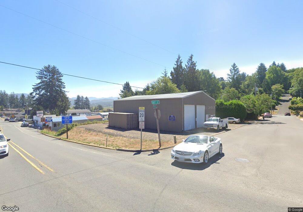
35955 10th St Nehalem, OR 97131
Estimated Value: $293,035
--
Bed
--
Bath
2,520
Sq Ft
$116/Sq Ft
Est. Value
About This Home
This home is located at 35955 10th St, Nehalem, OR 97131 and is currently estimated at $293,035, approximately $116 per square foot. 35955 10th St is a home located in Tillamook County with nearby schools including Nehalem Elementary School, Garibaldi Elementary School, and Neah-Kah-Nie Middle School.
Ownership History
Date
Name
Owned For
Owner Type
Purchase Details
Closed on
Apr 14, 2021
Sold by
Goody Ray A
Bought by
Goody Mallorie L
Current Estimated Value
Purchase Details
Closed on
Sep 13, 2017
Sold by
Matthews David J and Mcgregor Dellanne A
Bought by
Nehalem Bay Wastewater Agency
Purchase Details
Closed on
Jun 14, 2007
Sold by
Bkl Investments Llc
Bought by
Matthews David J and Mcgregor Dellanne A
Home Financials for this Owner
Home Financials are based on the most recent Mortgage that was taken out on this home.
Original Mortgage
$102,000
Interest Rate
6.14%
Mortgage Type
Commercial
Create a Home Valuation Report for This Property
The Home Valuation Report is an in-depth analysis detailing your home's value as well as a comparison with similar homes in the area
Home Values in the Area
Average Home Value in this Area
Purchase History
| Date | Buyer | Sale Price | Title Company |
|---|---|---|---|
| Goody Mallorie L | -- | None Available | |
| Nehalem Bay Wastewater Agency | $189,000 | Ticor Title Company Of Or | |
| Matthews David J | $170,000 | Ticor Title |
Source: Public Records
Mortgage History
| Date | Status | Borrower | Loan Amount |
|---|---|---|---|
| Previous Owner | Matthews David J | $102,000 |
Source: Public Records
Tax History Compared to Growth
Tax History
| Year | Tax Paid | Tax Assessment Tax Assessment Total Assessment is a certain percentage of the fair market value that is determined by local assessors to be the total taxable value of land and additions on the property. | Land | Improvement |
|---|---|---|---|---|
| 2024 | -- | -- | -- | -- |
| 2023 | $0 | $0 | $0 | $0 |
| 2022 | $0 | $0 | $0 | $0 |
| 2021 | $0 | $0 | $0 | $0 |
| 2020 | $1,309 | $0 | $0 | $0 |
| 2019 | $1,309 | $0 | $0 | $0 |
| 2018 | $0 | $0 | $0 | $0 |
| 2017 | $1,309 | $102,970 | $73,380 | $29,590 |
| 2016 | $1,272 | $99,980 | $71,250 | $28,730 |
| 2015 | $1,248 | $97,070 | $69,180 | $27,890 |
| 2014 | $1,226 | $94,250 | $67,170 | $27,080 |
| 2013 | -- | $91,510 | $65,220 | $26,290 |
Source: Public Records
Map
Nearby Homes
- 36090 8th St
- 0 Vl 10602 I St
- 0 St
- 13000 I St
- 13005 I St
- 0 C St
- 0 N Highway 101
- 13150 D St Unit 8
- 13150 D St Unit 12
- 13150 D St
- 11630 Ernst Ct
- 11480 Fern Way
- 0 Nehalem Point Dr Unit 25-685
- 0 Nehalem Point Dr Unit TL 2000 788053394
- 0 Nehalem Point Dr Unit TL 2000 25-371
- 35395 Bayside Gardens Rd
- 34130 Pintail Ave
- 35340 Bayside Gardens Rd
- 37395 Northfork Rd Unit 4
- 37395 Northfork Rd
