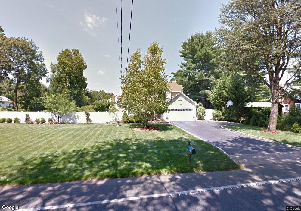
35C E Rogues Path Huntington Station, NY 11746
Estimated Value: $721,000 - $907,000
--
Bed
--
Bath
--
Sq Ft
0.47
Acres
About This Home
This home is located at 35C E Rogues Path, Huntington Station, NY 11746 and is currently estimated at $829,730. 35C E Rogues Path is a home located in Suffolk County with nearby schools including Washington School, Woodhull Intermediate School, and J Taylor Finley Middle School.
Ownership History
Date
Name
Owned For
Owner Type
Purchase Details
Closed on
Dec 11, 2001
Sold by
Quitta Ng Iris G and Ng Wing H
Bought by
Ianucci David
Current Estimated Value
Home Financials for this Owner
Home Financials are based on the most recent Mortgage that was taken out on this home.
Original Mortgage
$355,000
Outstanding Balance
$138,409
Interest Rate
6.54%
Estimated Equity
$691,321
Purchase Details
Closed on
Jun 26, 1995
Sold by
Princess Building Corp
Bought by
Quitta Ng Iris G and Ng Wing H
Create a Home Valuation Report for This Property
The Home Valuation Report is an in-depth analysis detailing your home's value as well as a comparison with similar homes in the area
Home Values in the Area
Average Home Value in this Area
Purchase History
| Date | Buyer | Sale Price | Title Company |
|---|---|---|---|
| Ianucci David | $444,000 | -- | |
| Quitta Ng Iris G | $272,000 | First American Title Ins Co |
Source: Public Records
Mortgage History
| Date | Status | Borrower | Loan Amount |
|---|---|---|---|
| Open | Ianucci David | $355,000 |
Source: Public Records
Tax History Compared to Growth
Tax History
| Year | Tax Paid | Tax Assessment Tax Assessment Total Assessment is a certain percentage of the fair market value that is determined by local assessors to be the total taxable value of land and additions on the property. | Land | Improvement |
|---|---|---|---|---|
| 2024 | $11,642 | $3,600 | $500 | $3,100 |
| 2023 | $5,821 | $3,600 | $500 | $3,100 |
| 2022 | $12,829 | $3,600 | $500 | $3,100 |
| 2021 | $12,680 | $3,600 | $500 | $3,100 |
| 2020 | $12,525 | $3,600 | $500 | $3,100 |
| 2019 | $25,050 | $0 | $0 | $0 |
| 2018 | $11,796 | $3,600 | $500 | $3,100 |
| 2017 | $11,796 | $3,600 | $500 | $3,100 |
| 2016 | $11,643 | $3,600 | $500 | $3,100 |
| 2015 | -- | $4,000 | $500 | $3,500 |
| 2014 | -- | $4,000 | $500 | $3,500 |
Source: Public Records
Map
Nearby Homes
- 35B E Rogues Path
- 60 Whitson Rd
- 35 E Rogues Path
- 62 Whitson Rd
- 15 Fairfields Ct
- 42 E Rogues Path
- 44 E Rogues Path
- 64 Whitson Rd
- 48 Whitson Rd
- 37 E Rogues Path
- 46 E Rogues Path
- 51 Whitson Rd
- 44 Whitson Rd
- 66 Whitson Rd
- 11 Fairfields Ct
- 48 E Rogues Path
- 45 Fairfields Ln
- 49 Fairfields Ln
- 39 E Rogues Path
- 51 Fairfields Ln