35W524 Parsons Rd Unit 1 Dundee, IL 60118
Estimated Value: $440,173 - $500,000
4
Beds
--
Bath
1,999
Sq Ft
$239/Sq Ft
Est. Value
About This Home
This home is located at 35W524 Parsons Rd Unit 1, Dundee, IL 60118 and is currently estimated at $478,293, approximately $239 per square foot. 35W524 Parsons Rd Unit 1 is a home located in Kane County with nearby schools including Liberty Elementary School, Dundee Middle School, and Harry D Jacobs High School.
Ownership History
Date
Name
Owned For
Owner Type
Purchase Details
Closed on
Jun 26, 2018
Sold by
Marcheski Mark B and Marcheski Jodie A
Bought by
Marcheski Mark B and Marcheski Jodie A
Current Estimated Value
Purchase Details
Closed on
Aug 23, 1996
Sold by
Arndt Thomas G and Arndt Kathryn L
Bought by
Marcheski Mark B and Marcheski Jodie A
Home Financials for this Owner
Home Financials are based on the most recent Mortgage that was taken out on this home.
Original Mortgage
$207,000
Outstanding Balance
$15,957
Interest Rate
7.93%
Estimated Equity
$462,336
Create a Home Valuation Report for This Property
The Home Valuation Report is an in-depth analysis detailing your home's value as well as a comparison with similar homes in the area
Home Values in the Area
Average Home Value in this Area
Purchase History
| Date | Buyer | Sale Price | Title Company |
|---|---|---|---|
| Marcheski Mark B | -- | Attorney | |
| Marcheski Mark B | $312,500 | -- |
Source: Public Records
Mortgage History
| Date | Status | Borrower | Loan Amount |
|---|---|---|---|
| Open | Marcheski Mark B | $207,000 |
Source: Public Records
Tax History Compared to Growth
Tax History
| Year | Tax Paid | Tax Assessment Tax Assessment Total Assessment is a certain percentage of the fair market value that is determined by local assessors to be the total taxable value of land and additions on the property. | Land | Improvement |
|---|---|---|---|---|
| 2024 | $8,900 | $133,567 | $38,311 | $95,256 |
| 2023 | $8,436 | $120,179 | $34,471 | $85,708 |
| 2022 | $7,618 | $105,027 | $34,471 | $70,556 |
| 2021 | $7,381 | $99,166 | $32,547 | $66,619 |
| 2020 | $7,227 | $96,936 | $31,815 | $65,121 |
| 2019 | $7,904 | $102,931 | $30,202 | $72,729 |
| 2018 | $8,481 | $107,165 | $30,984 | $76,181 |
| 2017 | $8,113 | $100,248 | $28,984 | $71,264 |
| 2016 | $8,316 | $97,065 | $28,064 | $69,001 |
| 2015 | -- | $90,953 | $26,297 | $64,656 |
| 2014 | -- | $86,023 | $25,571 | $60,452 |
| 2013 | -- | $88,656 | $26,354 | $62,302 |
Source: Public Records
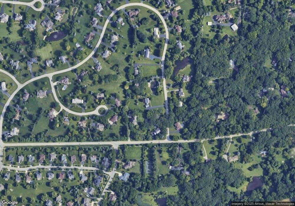
Map
Nearby Homes
- 3404 Green Pastures Rd
- 35W543 Miller Rd
- 0000 State Route 31
- 3835 Parsons Rd
- 18N732 Westhill Rd
- Route 31 Route
- 6109 Dunroven Lakes Ct
- 6415 Grassmere Ln
- 1681 Highmeadow Ln
- 17N448 Il Route 31
- 5 Lancaster Ct
- lot 009 Huntley Rd
- 6850 Huntley Rd
- 7046 Nathan Ln
- 6 Greyshire Ct
- Lot 84 Spruce Dr
- Lot 83 Spruce Dr
- 1551 Westbourne Pkwy
- Lot 133 Walnut Dr
- Lot 132 Walnut Dr
- 35W526 Parsons Rd
- 35W638 Miller Rd
- 35W631 Old Barn Rd Unit 4
- 35W522 Miller Rd
- 35W523 Parsons Rd
- 35W528 Parsons Rd
- 35W525 Parsons Rd
- 35W632 Old Barn Rd
- 35W521 Parsons Rd
- 35W527 Parsons Rd
- 35W641 Old Barn Rd Unit 4
- 35W530 Parsons Rd
- 3309 Oak Knoll Rd
- 35W644 Old Barn Rd
- 35W650 Parsons Rd
- 35W529 Parsons Rd
- 35W646 Parsons Rd
- 35W710 Parsons Rd
- 3305 Oak Knoll Rd
- 35W709 Old Barn Rd