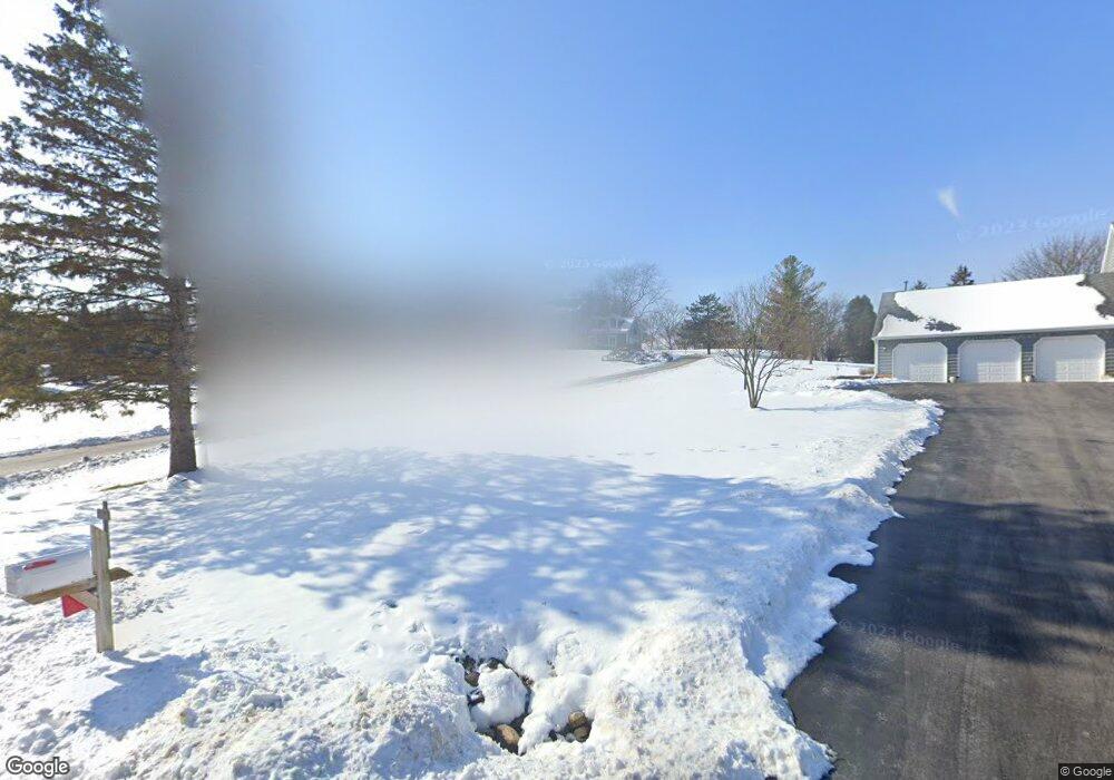
35W528 Parsons Rd Dundee, IL 60118
Estimated Value: $549,088 - $651,000
4
Beds
--
Bath
2,968
Sq Ft
$203/Sq Ft
Est. Value
About This Home
This home is located at 35W528 Parsons Rd, Dundee, IL 60118 and is currently estimated at $602,272, approximately $202 per square foot. 35W528 Parsons Rd is a home located in Kane County with nearby schools including Liberty Elementary School, Dundee Middle School, and Harry D Jacobs High School.
Ownership History
Date
Name
Owned For
Owner Type
Purchase Details
Closed on
Dec 21, 2017
Sold by
Donahue William P and Donahue Gail E
Bought by
Donahue William P and Donahue Gail E
Current Estimated Value
Purchase Details
Closed on
Dec 4, 2001
Sold by
Haupers Joseph A and Haupers Louise
Bought by
Donahue William P and Donahue Gail E
Home Financials for this Owner
Home Financials are based on the most recent Mortgage that was taken out on this home.
Original Mortgage
$272,000
Interest Rate
6.6%
Mortgage Type
Balloon
Purchase Details
Closed on
Sep 15, 1997
Sold by
Haupers Salajka Katherine T and Haupers Katherine T
Bought by
Haupers Joseph A
Home Financials for this Owner
Home Financials are based on the most recent Mortgage that was taken out on this home.
Original Mortgage
$318,000
Interest Rate
7%
Create a Home Valuation Report for This Property
The Home Valuation Report is an in-depth analysis detailing your home's value as well as a comparison with similar homes in the area
Home Values in the Area
Average Home Value in this Area
Purchase History
| Date | Buyer | Sale Price | Title Company |
|---|---|---|---|
| Donahue William P | -- | None Available | |
| Donahue William P | $340,000 | Ticor Title Insurance Compan | |
| Haupers Joseph A | $4,000 | Chicago Title Insurance Co |
Source: Public Records
Mortgage History
| Date | Status | Borrower | Loan Amount |
|---|---|---|---|
| Closed | Donahue William P | $272,000 | |
| Previous Owner | Haupers Joseph A | $318,000 |
Source: Public Records
Tax History Compared to Growth
Tax History
| Year | Tax Paid | Tax Assessment Tax Assessment Total Assessment is a certain percentage of the fair market value that is determined by local assessors to be the total taxable value of land and additions on the property. | Land | Improvement |
|---|---|---|---|---|
| 2024 | $10,526 | $156,506 | $38,311 | $118,195 |
| 2023 | $9,988 | $140,819 | $34,471 | $106,348 |
| 2022 | $9,702 | $132,117 | $34,471 | $97,646 |
| 2021 | $9,407 | $124,744 | $32,547 | $92,197 |
| 2020 | $9,215 | $121,939 | $31,815 | $90,124 |
| 2019 | $10,181 | $130,855 | $30,202 | $100,653 |
| 2018 | $10,676 | $133,349 | $30,984 | $102,365 |
| 2017 | $10,222 | $124,742 | $28,984 | $95,758 |
| 2016 | $10,482 | $120,781 | $28,064 | $92,717 |
| 2015 | -- | $113,176 | $26,297 | $86,879 |
| 2014 | -- | $106,802 | $25,571 | $81,231 |
| 2013 | -- | $110,071 | $26,354 | $83,717 |
Source: Public Records
Map
Nearby Homes
- 3404 Green Pastures Rd
- 35W543 Miller Rd
- 0000 State Route 31
- 18N732 Westhill Rd
- 3835 Parsons Rd
- Route 31 Route
- 6109 Dunroven Lakes Ct
- 6415 Grassmere Ln
- 1681 Highmeadow Ln
- 5 Lancaster Ct
- 1551 Westbourne Pkwy
- 6 Greyshire Ct
- 17N448 Il Route 31
- 1530 Westbourne Pkwy
- 1540 Westbourne Pkwy
- lot 009 Huntley Rd
- 6850 Huntley Rd
- 7046 Nathan Ln
- 2705 Westwood Cir
- Lot 84 Spruce Dr
- 35W526 Parsons Rd
- 35W530 Parsons Rd
- 35W631 Old Barn Rd Unit 4
- 35W524 Parsons Rd Unit 1
- 35W646 Parsons Rd
- 35W650 Parsons Rd
- 35W641 Old Barn Rd Unit 4
- 35W532 Parsons Rd
- 35W640 Parsons Rd
- 35W710 Parsons Rd
- 35W525 Parsons Rd
- 35W529 Parsons Rd
- 35W527 Parsons Rd
- 35W632 Old Barn Rd
- 35W636 Parsons Rd
- 35W638 Miller Rd
- 35W550 Parsons Rd
- 35W523 Parsons Rd
- 35W533 Parsons Rd
- 35W709 Old Barn Rd