36 Acres On W Stetson Dr Elfrida, AZ 85610
--
Bed
--
Bath
--
Sq Ft
36.69
Acres
About This Home
This home is located at 36 Acres On W Stetson Dr, Elfrida, AZ 85610. 36 Acres On W Stetson Dr is a home located in Cochise County with nearby schools including Tombstone High School.
Ownership History
Date
Name
Owned For
Owner Type
Purchase Details
Closed on
Sep 26, 2023
Sold by
Hacienda Hideout Llc
Bought by
Barfield Robert W and Ahearn Eileen M
Purchase Details
Closed on
Aug 6, 2008
Sold by
Richardson Nancy L and Richardson Patrick W
Bought by
Hacienda Hideout Llc
Purchase Details
Closed on
Jul 23, 2008
Sold by
Richardson John Foster
Bought by
Richardson Patrick Wayne and Richardson Nancy Lee
Purchase Details
Closed on
Apr 14, 2005
Sold by
Title Security Agency Of Arizona
Bought by
Richardson Patrick Wayne and Richardson Nancy Lee
Home Financials for this Owner
Home Financials are based on the most recent Mortgage that was taken out on this home.
Original Mortgage
$21,400
Interest Rate
5.77%
Mortgage Type
Seller Take Back
Create a Home Valuation Report for This Property
The Home Valuation Report is an in-depth analysis detailing your home's value as well as a comparison with similar homes in the area
Home Values in the Area
Average Home Value in this Area
Purchase History
| Date | Buyer | Sale Price | Title Company |
|---|---|---|---|
| Barfield Robert W | $27,500 | Pioneer Title | |
| Hacienda Hideout Llc | -- | None Available | |
| Richardson Patrick Wayne | $19,703 | Pioneer Title Agency | |
| Richardson Patrick Wayne | $42,800 | Pioneer Title Agency |
Source: Public Records
Mortgage History
| Date | Status | Borrower | Loan Amount |
|---|---|---|---|
| Previous Owner | Richardson Patrick Wayne | $21,400 |
Source: Public Records
Tax History Compared to Growth
Tax History
| Year | Tax Paid | Tax Assessment Tax Assessment Total Assessment is a certain percentage of the fair market value that is determined by local assessors to be the total taxable value of land and additions on the property. | Land | Improvement |
|---|---|---|---|---|
| 2025 | $562 | $6,075 | $6,075 | -- |
| 2024 | $562 | $6,075 | $6,075 | $0 |
| 2023 | $558 | $6,075 | $6,075 | $0 |
| 2022 | $574 | $6,075 | $6,075 | $0 |
| 2021 | $619 | $6,075 | $6,075 | $0 |
| 2020 | $612 | $0 | $0 | $0 |
| 2019 | $620 | $0 | $0 | $0 |
| 2018 | $663 | $0 | $0 | $0 |
| 2017 | $668 | $0 | $0 | $0 |
| 2016 | $689 | $0 | $0 | $0 |
| 2015 | -- | $0 | $0 | $0 |
Source: Public Records
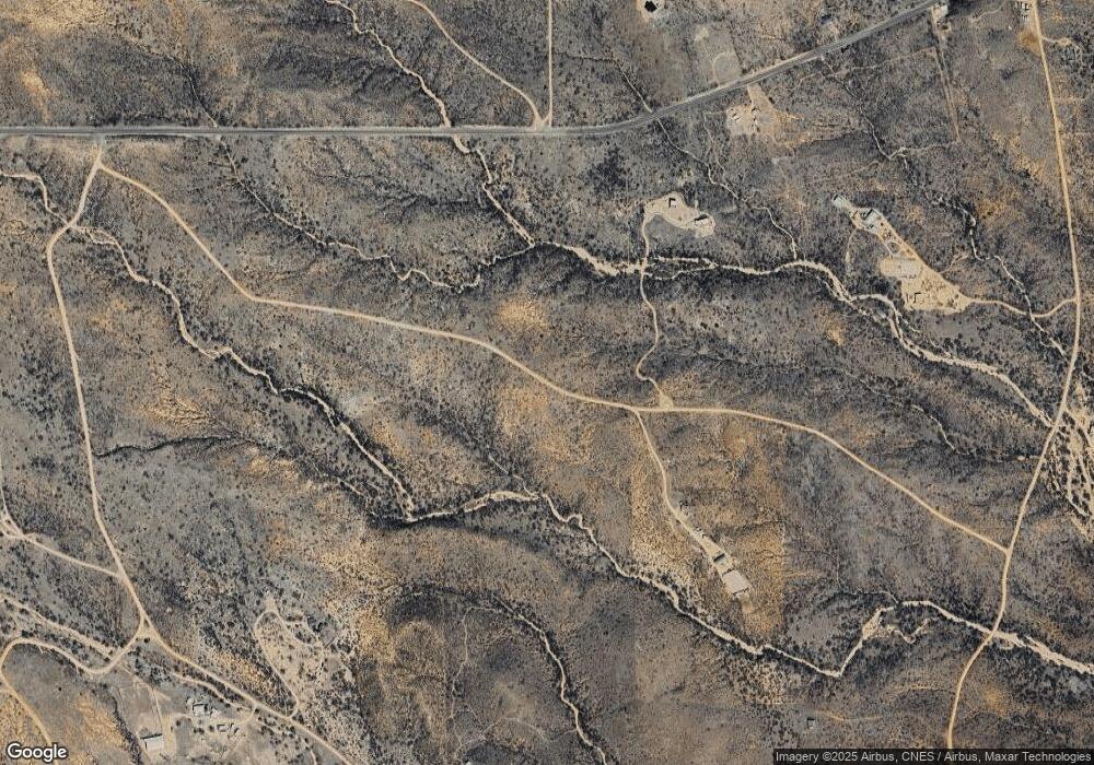
Map
Nearby Homes
- Lot 116 W Stetson Dr
- Lot 116 W Stetson Dr Unit 116
- 11003 N Legend Trail Unit 119
- TBD N High Lonesome Rd Unit 52
- 39 + - Acre On Rambling Rd Unit 100
- 77 + - Acre On Rambling Rd Unit 3/100
- 10632 N Double U Ranch Rd
- TBD N Double U Ranch Rd
- 10632 N Double U Ranch Rd
- 38 + - Acre On Rambling Rd Unit 3/1
- 0 N Double U Ranch Rd Unit 22910789
- 5995 W Buckskin Trail Unit 82
- 62 Acres N Ghost Town Trail
- 286 Acres N Ghost Town Trail
- 348 Acres N Ghost Town Trail
- 36.28 Acre Gleeson Rd Unit 6
- 4842 W Gleeson Rd
- TBD W Gleeson Rd
- TBD W Gleeson Rd
- TBD W No Name Off Acorn 40 Ac's -- Unit 25
- 36 Acres On W Stetson Dr Unit 1
- 36 Acres On W Stetson Dr
- 36 Acres On W Stetson Dr Unit 115
- 36 Ac Stetson Dr In High Lonesome
- 36 Acres Stetson Dr
- Lot 116 W Stetson Dr
- 0 W Stetson Dr Unit 120 6566461
- 0 W Stetson Dr Unit 20918348
- 0 W Stetson Dr Unit 21029989
- 0 W Stetson Dr Unit 21333787
- Lot 121 W Stetson Dr
- 0 W Stetson Dr
- Lot 121 W Stetson Dr Unit 121
- 000 W Stetson Dr Unit 121
- TBD W Stetson Dr Unit 123
- 36 W Stetson Dr
- 11081 N Emory Oak Ln
- 6180 W Stetson Dr
- 6187 W Stetson Dr
- 0 E Gleeson Unit 5 21031645