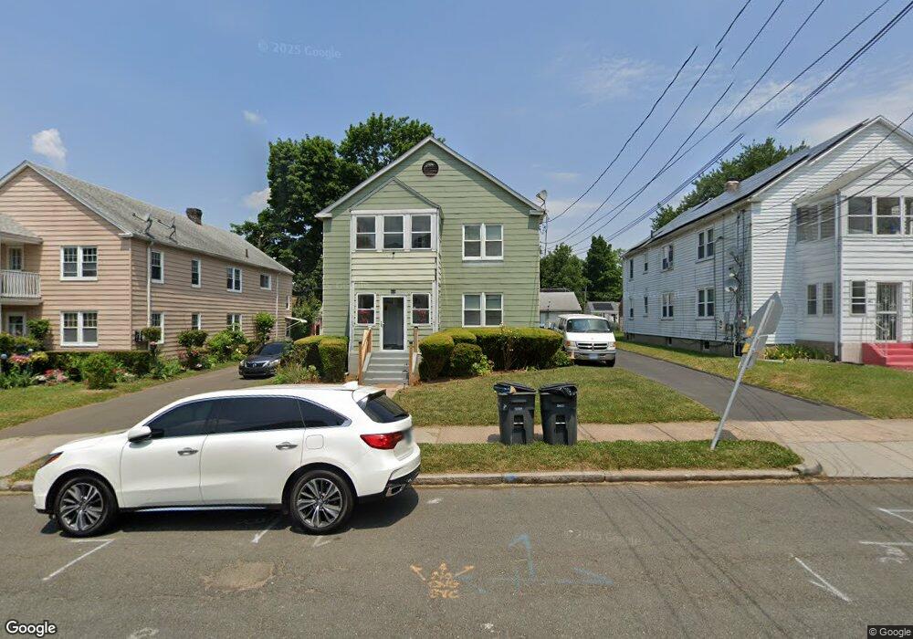
36 Andover St Unit 38 Hartford, CT 06112
Blue Hills NeighborhoodEstimated Value: $309,713 - $460,000
6
Beds
2
Baths
2,912
Sq Ft
$131/Sq Ft
Est. Value
About This Home
This home is located at 36 Andover St Unit 38, Hartford, CT 06112 and is currently estimated at $382,428, approximately $131 per square foot. 36 Andover St Unit 38 is a home located in Hartford County with nearby schools including Rawson School, Breakthrough Magnet School - North Campus, and West Middle School.
Ownership History
Date
Name
Owned For
Owner Type
Purchase Details
Closed on
Jan 20, 2016
Sold by
Feurtado Ericka E
Bought by
Feurtado Antwon J
Current Estimated Value
Home Financials for this Owner
Home Financials are based on the most recent Mortgage that was taken out on this home.
Original Mortgage
$137,362
Outstanding Balance
$108,630
Interest Rate
3.87%
Mortgage Type
FHA
Estimated Equity
$273,798
Create a Home Valuation Report for This Property
The Home Valuation Report is an in-depth analysis detailing your home's value as well as a comparison with similar homes in the area
Home Values in the Area
Average Home Value in this Area
Purchase History
| Date | Buyer | Sale Price | Title Company |
|---|---|---|---|
| Feurtado Antwon J | $150,000 | -- |
Source: Public Records
Mortgage History
| Date | Status | Borrower | Loan Amount |
|---|---|---|---|
| Open | Feurtado Antwon J | $137,362 |
Source: Public Records
Tax History Compared to Growth
Tax History
| Year | Tax Paid | Tax Assessment Tax Assessment Total Assessment is a certain percentage of the fair market value that is determined by local assessors to be the total taxable value of land and additions on the property. | Land | Improvement |
|---|---|---|---|---|
| 2025 | $6,829 | $99,041 | $6,064 | $92,977 |
| 2024 | $6,829 | $99,041 | $6,064 | $92,977 |
| 2023 | $6,829 | $99,041 | $6,064 | $92,977 |
| 2022 | $6,829 | $99,042 | $6,064 | $92,978 |
| 2021 | $4,041 | $54,390 | $7,140 | $47,250 |
| 2020 | $4,041 | $54,390 | $7,140 | $47,250 |
| 2019 | $4,041 | $54,390 | $7,140 | $47,250 |
| 2018 | $3,904 | $52,556 | $6,899 | $45,657 |
| 2016 | $4,271 | $57,495 | $6,571 | $50,924 |
| 2015 | $4,068 | $54,764 | $6,259 | $48,505 |
| 2014 | $3,969 | $53,425 | $6,106 | $47,319 |
Source: Public Records
Map
Nearby Homes
- 218 Holcomb St Unit 220
- 211 Holcomb St Unit 213
- 355 Cornwall St Unit 357
- 90 Manchester St
- 179 Manchester St
- 157 Pembroke St Unit 159
- 86 Hartland St
- 144 Thomaston St
- 11 Pershing St Unit 13
- 10 Baltic St Unit 12
- 36 Baltic St Unit 38
- 70 Burnham St Unit 72
- 125 Lebanon St Unit 127
- 152 Burnham St
- 97 Boothbay St
- 25 Cornwall St
- 147 Morningside St W
- 111 Westbourne Pkwy Unit 113
- 181 Westbourne Pkwy
- 97 E Burnham St
- 32 Andover St Unit 34
- 28 Andover St Unit 30
- 31 Andover St Unit 33
- 40 Andover St Unit 42
- 27 Andover St Unit 29
- 24 Andover St Unit 26
- 35 Andover St Unit 37
- 41 Westminster St
- 39 Andover St Unit 41
- 37 Westminster St
- 22 Andover St
- 31 Westminster St
- 23 Andover St Unit 25
- 300 Cornwall St
- 47 Andover St Unit 49
- 20 Andover St Unit 22
- 16 Andover St Unit 18
- 19 Andover St Unit 21
- 25 Westminster St