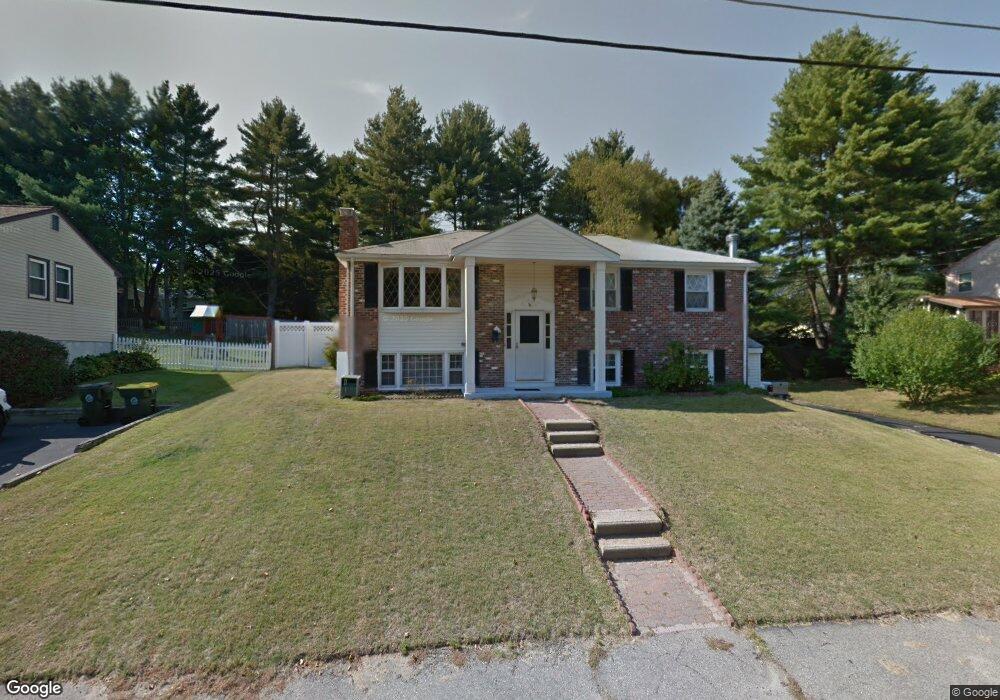
36 Arapahoe Rd Bellingham, MA 02019
Estimated Value: $546,543 - $606,000
3
Beds
1
Bath
1,832
Sq Ft
$311/Sq Ft
Est. Value
About This Home
This home is located at 36 Arapahoe Rd, Bellingham, MA 02019 and is currently estimated at $569,886, approximately $311 per square foot. 36 Arapahoe Rd is a home located in Norfolk County with nearby schools including Stall Brook Elementary School, Bellingham High School, and Bethany Christian Academy.
Ownership History
Date
Name
Owned For
Owner Type
Purchase Details
Closed on
Aug 31, 1998
Sold by
Zopatti Ronald M
Bought by
Keyes-Desrosiers Donna
Current Estimated Value
Home Financials for this Owner
Home Financials are based on the most recent Mortgage that was taken out on this home.
Original Mortgage
$135,200
Interest Rate
6.9%
Mortgage Type
Purchase Money Mortgage
Purchase Details
Closed on
Jun 30, 1994
Sold by
Kauker Rose J
Bought by
Zopatti Ronald M
Home Financials for this Owner
Home Financials are based on the most recent Mortgage that was taken out on this home.
Original Mortgage
$143,850
Interest Rate
8.55%
Mortgage Type
Purchase Money Mortgage
Create a Home Valuation Report for This Property
The Home Valuation Report is an in-depth analysis detailing your home's value as well as a comparison with similar homes in the area
Home Values in the Area
Average Home Value in this Area
Purchase History
| Date | Buyer | Sale Price | Title Company |
|---|---|---|---|
| Keyes-Desrosiers Donna | $169,900 | -- | |
| Keyes-Desrosiers Donna | $169,900 | -- | |
| Zopatti Ronald M | $144,000 | -- |
Source: Public Records
Mortgage History
| Date | Status | Borrower | Loan Amount |
|---|---|---|---|
| Open | Keyes-Desrosiers Donna | $135,200 | |
| Closed | Keyes-Desrosiers Donna | $135,200 | |
| Previous Owner | Zopatti Ronald M | $143,850 |
Source: Public Records
Tax History Compared to Growth
Tax History
| Year | Tax Paid | Tax Assessment Tax Assessment Total Assessment is a certain percentage of the fair market value that is determined by local assessors to be the total taxable value of land and additions on the property. | Land | Improvement |
|---|---|---|---|---|
| 2025 | $5,529 | $440,200 | $165,600 | $274,600 |
| 2024 | $5,316 | $413,400 | $151,200 | $262,200 |
| 2023 | $5,126 | $392,800 | $144,000 | $248,800 |
| 2022 | $4,986 | $354,100 | $120,100 | $234,000 |
| 2021 | $4,839 | $335,800 | $120,100 | $215,700 |
| 2020 | $4,650 | $327,000 | $120,100 | $206,900 |
| 2019 | $4,547 | $320,000 | $120,100 | $199,900 |
| 2018 | $4,213 | $292,400 | $115,500 | $176,900 |
| 2017 | $4,097 | $285,700 | $115,500 | $170,200 |
| 2016 | $3,913 | $273,800 | $113,500 | $160,300 |
| 2015 | $3,755 | $263,500 | $109,200 | $154,300 |
| 2014 | $3,768 | $257,000 | $106,600 | $150,400 |
Source: Public Records
Map
Nearby Homes
- 455 Hartford Ave
- 0 Old Log Lane (Farm St) Unit 73416329
- 359 Hartford Ave
- 462 Hartford Ave
- 49 Palomino Dr
- 30 Stone St
- 0 Farm St
- 85 Maple St
- 60 Pine St
- 17 Pine St
- 20 Beechwood Rd
- 39 West St
- 1081 Pond St
- 9 Tulip Way
- 951 Pond St
- 0 Pond Unit 73416512
- 0 Pond Unit 24285018
- 6 Freedom Trail
- 202 Hartford Ave
- 453 Hartford Ave