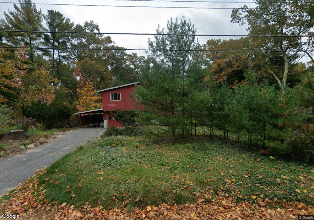
36 Austin Rd Sudbury, MA 01776
Estimated Value: $697,844 - $1,019,000
3
Beds
2
Baths
1,162
Sq Ft
$716/Sq Ft
Est. Value
About This Home
This home is located at 36 Austin Rd, Sudbury, MA 01776 and is currently estimated at $832,461, approximately $716 per square foot. 36 Austin Rd is a home located in Middlesex County with nearby schools including Peter Noyes Elementary School, Ephraim Curtis Middle School, and Lincoln-Sudbury Regional High School.
Ownership History
Date
Name
Owned For
Owner Type
Purchase Details
Closed on
Oct 21, 2019
Sold by
Wilkins Roberta E
Bought by
Roberta E Wilkins Ret
Current Estimated Value
Purchase Details
Closed on
Aug 31, 1995
Sold by
Mcgill Joseph C and Mcgill Kaffee K
Bought by
Wilkins Roberta E
Create a Home Valuation Report for This Property
The Home Valuation Report is an in-depth analysis detailing your home's value as well as a comparison with similar homes in the area
Home Values in the Area
Average Home Value in this Area
Purchase History
| Date | Buyer | Sale Price | Title Company |
|---|---|---|---|
| Roberta E Wilkins Ret | -- | -- | |
| Wilkins Roberta E | $232,500 | -- |
Source: Public Records
Mortgage History
| Date | Status | Borrower | Loan Amount |
|---|---|---|---|
| Previous Owner | Wilkins Roberta E | $116,000 |
Source: Public Records
Tax History
| Year | Tax Paid | Tax Assessment Tax Assessment Total Assessment is a certain percentage of the fair market value that is determined by local assessors to be the total taxable value of land and additions on the property. | Land | Improvement |
|---|---|---|---|---|
| 2025 | $10,137 | $692,400 | $417,000 | $275,400 |
| 2024 | $9,790 | $670,100 | $404,800 | $265,300 |
| 2023 | $9,732 | $617,100 | $374,800 | $242,300 |
| 2022 | $9,204 | $509,900 | $344,000 | $165,900 |
| 2021 | $8,969 | $476,300 | $344,000 | $132,300 |
| 2020 | $8,788 | $476,300 | $344,000 | $132,300 |
| 2019 | $8,531 | $476,300 | $344,000 | $132,300 |
| 2018 | $8,553 | $477,000 | $366,800 | $110,200 |
| 2017 | $8,008 | $451,400 | $348,900 | $102,500 |
| 2016 | $7,775 | $436,800 | $335,600 | $101,200 |
| 2015 | $7,323 | $416,100 | $322,700 | $93,400 |
| 2014 | $7,284 | $404,000 | $313,200 | $90,800 |
Source: Public Records
Map
Nearby Homes
- 30 Kendall Rd
- 53 Pine St
- 30 Rolling Ln
- 557 Dutton Rd Unit 2
- 0 Robbins Rd
- 62 Churchill St
- 15 Harness Ln
- 0 Boston Post Rd
- 30 Harness Ln
- 11 Great Lake Dr
- 725 Boston Post Rd Unit 12
- 11 October Rd
- 123 Dutton Rd
- 11 Farmstead Ln Unit 11
- 45 Webster Cir
- 24 Woodland Rd
- 22 Barracks Rd Unit 22
- 1011 Boston Post Rd
- 55 Widow Rites Ln
- 45 Widow Rites Ln
Your Personal Tour Guide
Ask me questions while you tour the home.