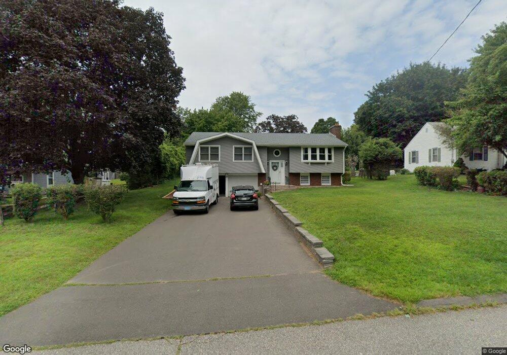
36 Baldwin Rd Manchester, CT 06042
Estimated Value: $318,000 - $343,848
3
Beds
2
Baths
1,182
Sq Ft
$280/Sq Ft
Est. Value
About This Home
This home is located at 36 Baldwin Rd, Manchester, CT 06042 and is currently estimated at $330,462, approximately $279 per square foot. 36 Baldwin Rd is a home located in Hartford County with nearby schools including Robertson School, Illing Middle School, and Elisabeth M. Bennet Academy.
Ownership History
Date
Name
Owned For
Owner Type
Purchase Details
Closed on
Oct 21, 2016
Sold by
Nukis Robert
Bought by
Nukis Darlene G
Current Estimated Value
Purchase Details
Closed on
Aug 3, 1989
Sold by
Norris Valija
Bought by
Nukis Robert
Home Financials for this Owner
Home Financials are based on the most recent Mortgage that was taken out on this home.
Original Mortgage
$70,000
Interest Rate
10%
Mortgage Type
Purchase Money Mortgage
Create a Home Valuation Report for This Property
The Home Valuation Report is an in-depth analysis detailing your home's value as well as a comparison with similar homes in the area
Home Values in the Area
Average Home Value in this Area
Purchase History
| Date | Buyer | Sale Price | Title Company |
|---|---|---|---|
| Nukis Darlene G | -- | -- | |
| Nukis Darlene G | -- | -- | |
| Nukis Robert | $170,001 | -- |
Source: Public Records
Mortgage History
| Date | Status | Borrower | Loan Amount |
|---|---|---|---|
| Previous Owner | Nukis Robert | $100,000 | |
| Previous Owner | Nukis Robert | $80,000 | |
| Previous Owner | Nukis Robert | $70,000 |
Source: Public Records
Tax History
| Year | Tax Paid | Tax Assessment Tax Assessment Total Assessment is a certain percentage of the fair market value that is determined by local assessors to be the total taxable value of land and additions on the property. | Land | Improvement |
|---|---|---|---|---|
| 2025 | $6,455 | $162,100 | $41,400 | $120,700 |
| 2024 | $6,270 | $162,100 | $41,400 | $120,700 |
| 2023 | $6,030 | $162,100 | $41,400 | $120,700 |
| 2022 | $5,855 | $162,100 | $41,400 | $120,700 |
| 2021 | $5,292 | $126,200 | $35,600 | $90,600 |
| 2020 | $5,284 | $126,200 | $35,600 | $90,600 |
| 2019 | $5,263 | $126,200 | $35,600 | $90,600 |
| 2018 | $5,122 | $125,200 | $35,600 | $89,600 |
| 2017 | $4,977 | $125,200 | $35,600 | $89,600 |
| 2016 | $5,075 | $127,900 | $45,900 | $82,000 |
| 2015 | $5,039 | $127,900 | $45,900 | $82,000 |
| 2014 | $4,943 | $127,900 | $45,900 | $82,000 |
Source: Public Records
Map
Nearby Homes
- 169 Avery St
- 315 Diane Dr
- 206 Oakland St
- 195 Oakland St Unit A
- 99 Union St
- 136 Gilbert Ln
- 325 Kelly Rd Unit TRLR R19
- 112 Gilbert Ln
- 17 North St
- 95 Gianna Dr Unit 95
- 15 Stock Place
- 13 Oak Forest Dr Unit 6
- 85 Lydall St
- 86 Doane St
- 9 Robin Rd
- 62 Ambassador Dr Unit D
- 40 Grove St Unit B
- 257 Green Rd
- 85 Henry St
- 205 Homestead St Unit B3
Your Personal Tour Guide
Ask me questions while you tour the home.