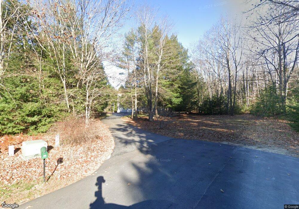
36 Balsam Ln Gorham, ME 04038
Estimated Value: $635,502 - $701,000
3
Beds
3
Baths
2,391
Sq Ft
$277/Sq Ft
Est. Value
About This Home
This home is located at 36 Balsam Ln, Gorham, ME 04038 and is currently estimated at $661,376, approximately $276 per square foot. 36 Balsam Ln is a home with nearby schools including Village Elementary School and Gorham High School.
Create a Home Valuation Report for This Property
The Home Valuation Report is an in-depth analysis detailing your home's value as well as a comparison with similar homes in the area
Home Values in the Area
Average Home Value in this Area
Tax History Compared to Growth
Tax History
| Year | Tax Paid | Tax Assessment Tax Assessment Total Assessment is a certain percentage of the fair market value that is determined by local assessors to be the total taxable value of land and additions on the property. | Land | Improvement |
|---|---|---|---|---|
| 2024 | $6,615 | $450,000 | $82,000 | $368,000 |
| 2023 | $6,078 | $442,000 | $82,000 | $360,000 |
| 2022 | $5,680 | $442,000 | $82,000 | $360,000 |
| 2021 | $4,683 | $241,400 | $64,000 | $177,400 |
| 2020 | $4,587 | $241,400 | $64,000 | $177,400 |
| 2019 | $4,575 | $241,400 | $64,000 | $177,400 |
| 2018 | $4,393 | $241,400 | $64,000 | $177,400 |
| 2017 | $4,128 | $241,400 | $64,000 | $177,400 |
| 2016 | $4,104 | $241,400 | $64,000 | $177,400 |
| 2015 | $3,935 | $241,400 | $64,000 | $177,400 |
| 2014 | $3,767 | $216,500 | $57,200 | $159,300 |
| 2013 | $3,745 | $216,500 | $57,200 | $159,300 |
Source: Public Records
Map
Nearby Homes
- 14 Patrick Dr
- 125 Old Thompson Rd
- 22 Finn Parker Rd
- 21 Alexander Dr
- 00 Ossipee Trail E
- 135 Buck St
- 183 Buck St
- 116 Dingley Spring Rd
- 379 Bonny Eagle Rd
- 35 Rust Rd
- 63 Ossipee Trail E
- 30 Joan Dixon Way
- 66 Ossipee Trail East Trail E
- 27 Ossipee Trail E Unit 1
- 8 Cortland Place Unit 5
- 6 Cortland Place Unit 4
- 4 Cortland Place Unit 3
- 580 Bonny Eagle Rd
- 56 Hay Field Dr
- Lot 2 Commerce Way