36 Bannock Cir Red Lodge, MT 59068
Estimated Value: $848,000 - $1,379,000
4
Beds
2
Baths
2,668
Sq Ft
$381/Sq Ft
Est. Value
About This Home
This home is located at 36 Bannock Cir, Red Lodge, MT 59068 and is currently estimated at $1,015,777, approximately $380 per square foot. 36 Bannock Cir is a home with nearby schools including Mountain View School, Roosevelt Junior High School, and Red Lodge High School.
Ownership History
Date
Name
Owned For
Owner Type
Purchase Details
Closed on
Jun 30, 1999
Bought by
Brajcich Mark Joseph and Brajcich Sandra K
Current Estimated Value
Home Financials for this Owner
Home Financials are based on the most recent Mortgage that was taken out on this home.
Original Mortgage
$210,000
Outstanding Balance
$84,128
Interest Rate
7.2%
Mortgage Type
New Conventional
Estimated Equity
$931,649
Create a Home Valuation Report for This Property
The Home Valuation Report is an in-depth analysis detailing your home's value as well as a comparison with similar homes in the area
Home Values in the Area
Average Home Value in this Area
Purchase History
| Date | Buyer | Sale Price | Title Company |
|---|---|---|---|
| Brajcich Mark Joseph | -- | -- |
Source: Public Records
Mortgage History
| Date | Status | Borrower | Loan Amount |
|---|---|---|---|
| Open | Brajcich Mark Joseph | $210,000 | |
| Closed | Brajcich Mark Joseph | $125,000 |
Source: Public Records
Tax History
| Year | Tax Paid | Tax Assessment Tax Assessment Total Assessment is a certain percentage of the fair market value that is determined by local assessors to be the total taxable value of land and additions on the property. | Land | Improvement |
|---|---|---|---|---|
| 2025 | $4,327 | $944,400 | $0 | $0 |
| 2024 | $4,276 | $732,700 | $0 | $0 |
| 2023 | $3,949 | $689,100 | $0 | $0 |
| 2022 | $3,369 | $489,800 | $0 | $0 |
| 2021 | $3,259 | $489,800 | $0 | $0 |
| 2020 | $3,401 | $498,900 | $0 | $0 |
| 2019 | $3,461 | $498,900 | $0 | $0 |
| 2018 | $3,465 | $498,100 | $0 | $0 |
| 2017 | $3,533 | $498,100 | $0 | $0 |
| 2016 | $2,782 | $386,569 | $0 | $0 |
| 2015 | $2,635 | $386,569 | $0 | $0 |
| 2014 | $3,040 | $246,927 | $0 | $0 |
Source: Public Records
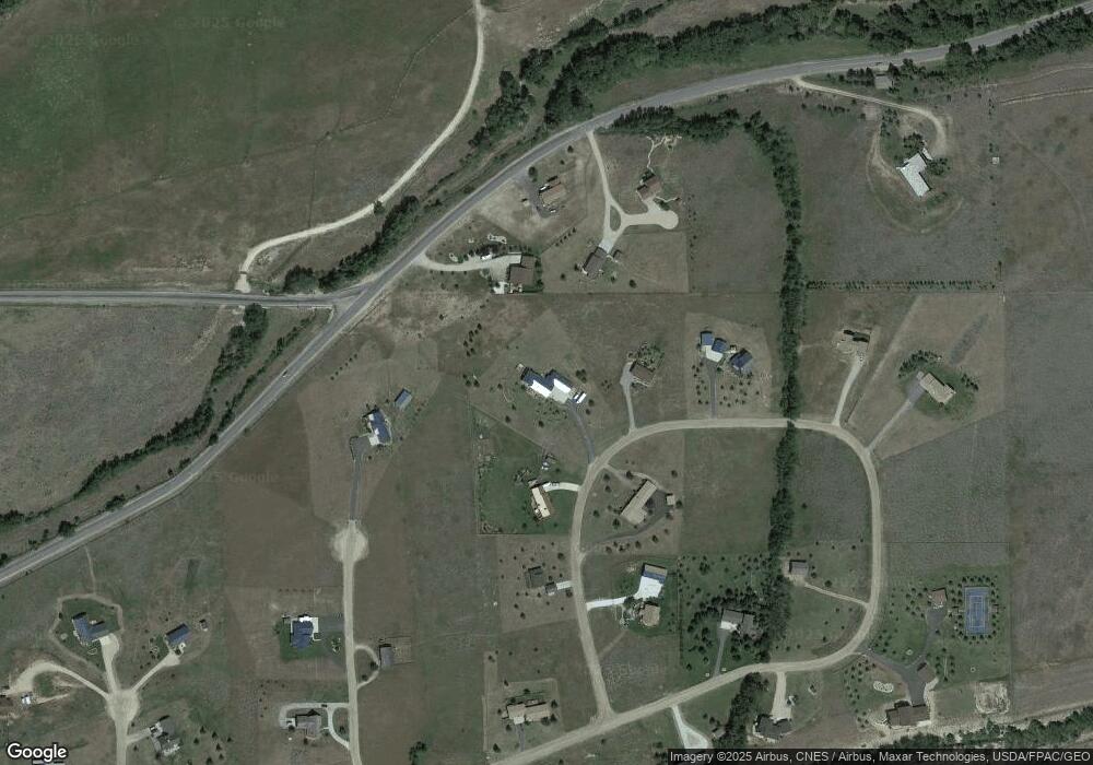
Map
Nearby Homes
- 5 Pueblo Trail
- 5 Comanche Trail
- 5 Ski Ln
- 6802 Us Highway 212
- 15 Ski Ln
- NHN Wilderness Ln
- 5.3 Acres Palisades Campground
- TBD Palisades Loop
- 1505 Broadway Ave S Unit 207
- 1505 Broadway Ave S Unit 206
- 1505 Broadway Ave S Unit 105
- 28 Willow Creek Trail
- 26 Beaver Trail
- 1106 S White Ave
- 4 Meadow Cir
- 78 Remington Ranch Rd
- 1125 Adams Ave S Unit 5
- 1125 Adams Ave S Unit 17
- 1125 Adams Ave S Unit 15
- 1125 Adams Ave S Unit 9
- 34 Bannock Cir
- 103 W Fork Rd
- 38 Bannock Cir
- 38 Bannock Cir
- 5 Ski View Ln
- 41 Bannock Cir
- 14 Sioux Trail
- 97 W Fork Rd
- 30 Bannock Cir
- 42 Bannock Cir
- 29 Bannock Trail
- 3 Ski View Ln
- 22 Sioux Trail
- 22 Sioux Trail Unit 22
- Lot 22 Sioux Trail
- 43 Bannock Trail
- 24 Bannock Cir
- 4 Sioux Trail
- 57 Bannock Trail
- NSN Sioux Trail
Your Personal Tour Guide
Ask me questions while you tour the home.