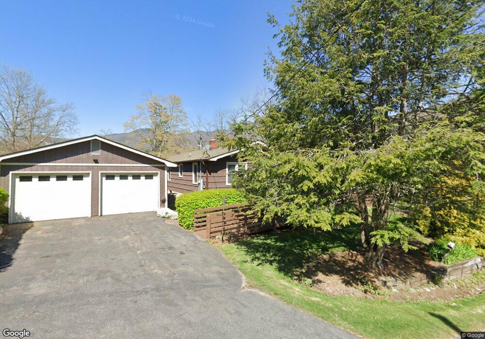
36 Boulder Dr Waynesville, NC 28786
Estimated Value: $245,000 - $358,000
2
Beds
1
Bath
1,565
Sq Ft
$191/Sq Ft
Est. Value
About This Home
This home is located at 36 Boulder Dr, Waynesville, NC 28786 and is currently estimated at $298,390, approximately $190 per square foot. 36 Boulder Dr is a home located in Haywood County with nearby schools including Hazelwood Elementary, Waynesville Middle, and Tuscola High.
Ownership History
Date
Name
Owned For
Owner Type
Purchase Details
Closed on
Jan 11, 2016
Sold by
Sutton Janie W
Bought by
Mcelroy Michelle L and Mcelroy James R
Current Estimated Value
Home Financials for this Owner
Home Financials are based on the most recent Mortgage that was taken out on this home.
Original Mortgage
$75,000
Outstanding Balance
$59,649
Interest Rate
3.96%
Mortgage Type
New Conventional
Estimated Equity
$238,741
Purchase Details
Closed on
Apr 2, 2004
Bought by
Sutton Janie W
Create a Home Valuation Report for This Property
The Home Valuation Report is an in-depth analysis detailing your home's value as well as a comparison with similar homes in the area
Home Values in the Area
Average Home Value in this Area
Purchase History
| Date | Buyer | Sale Price | Title Company |
|---|---|---|---|
| Mcelroy Michelle L | $100,000 | Attorney | |
| Sutton Janie W | $100,000 | -- |
Source: Public Records
Mortgage History
| Date | Status | Borrower | Loan Amount |
|---|---|---|---|
| Open | Mcelroy Michelle L | $75,000 |
Source: Public Records
Tax History Compared to Growth
Tax History
| Year | Tax Paid | Tax Assessment Tax Assessment Total Assessment is a certain percentage of the fair market value that is determined by local assessors to be the total taxable value of land and additions on the property. | Land | Improvement |
|---|---|---|---|---|
| 2025 | -- | $132,400 | $27,600 | $104,800 |
| 2024 | $953 | $132,400 | $27,600 | $104,800 |
| 2023 | $953 | $132,400 | $27,600 | $104,800 |
| 2022 | $934 | $132,400 | $27,600 | $104,800 |
| 2021 | $934 | $132,400 | $27,600 | $104,800 |
| 2020 | $769 | $96,100 | $27,600 | $68,500 |
| 2019 | $774 | $96,100 | $27,600 | $68,500 |
| 2018 | $774 | $96,100 | $27,600 | $68,500 |
| 2017 | $774 | $96,100 | $0 | $0 |
| 2016 | $908 | $120,800 | $0 | $0 |
| 2015 | $908 | $120,800 | $0 | $0 |
| 2014 | $794 | $120,800 | $0 | $0 |
Source: Public Records
Map
Nearby Homes
- 29 Crestmont Dr
- 518 Acres View Dr
- 272 Owl Ridge Rd
- 23 Providence Place
- 251 Rose Ln
- 181 Hollon Cove
- 100 Bettys Dr
- 403 Malin Trail
- 0000 Hyatt Creek Rd
- 96 Farmwood Trail
- 60 Farmwood Trail
- 99999 Green Valley Rd Unit 1
- 51 Atari Rd
- 147 Brantley Branch Ln
- 71 Midnight Ln
- 55 Christine Ct
- 00 Barber Hill Dr
- 0 Libbies Ln Unit 6
- 255 Red Bank Rd
- 642 Mountainside Dr
- 19 Boulder Dr
- 2015 Old Balsam Rd
- 1986 Old Balsam Rd
- 45 Boulder Dr
- 1925 Old Balsam Rd
- Lot #7 Boulder Ridge Estates Unit 7
- Lot #8 Boulder Ridge Estates Unit 8
- Lot #9 Boulder Ridge Estates Unit 9
- 18705 Great Smoky Mountain Expy
- 18705 Grt Smky Mnt Expy
- 1938 Old Balsam Rd
- 2053 Old Balsam Rd
- 1912 Old Balsam Rd
- 17 Rumble Rd
- 2060 Old Balsam Rd
- 60 Pinnacle Dr
- 2093 Old Balsam Rd
- 1880 Old Balsam Rd
- 129 Hooper Haven Dr
- 18769 Great Smoky Mountain Expy