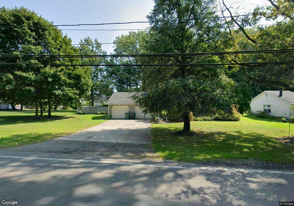
36 Bowhall Rd Painesville, OH 44077
Estimated Value: $299,000 - $389,000
6
Beds
2
Baths
2,103
Sq Ft
$167/Sq Ft
Est. Value
About This Home
This home is located at 36 Bowhall Rd, Painesville, OH 44077 and is currently estimated at $351,057, approximately $166 per square foot. 36 Bowhall Rd is a home located in Lake County with nearby schools including Henry F. Lamuth Middle School, Riverside Junior/Senior High School, and Summit Academy Community School - Painesville.
Ownership History
Date
Name
Owned For
Owner Type
Purchase Details
Closed on
Aug 29, 2014
Sold by
Courtwright Marybeth
Bought by
Tooley Roger S
Current Estimated Value
Home Financials for this Owner
Home Financials are based on the most recent Mortgage that was taken out on this home.
Original Mortgage
$175,266
Outstanding Balance
$133,979
Interest Rate
4.1%
Mortgage Type
FHA
Estimated Equity
$217,078
Purchase Details
Closed on
Aug 14, 2001
Sold by
Marybeth Stetson
Bought by
Courtwright Marybeth
Purchase Details
Closed on
Aug 19, 1993
Bought by
Courtwright Ii Robert E
Create a Home Valuation Report for This Property
The Home Valuation Report is an in-depth analysis detailing your home's value as well as a comparison with similar homes in the area
Home Values in the Area
Average Home Value in this Area
Purchase History
| Date | Buyer | Sale Price | Title Company |
|---|---|---|---|
| Tooley Roger S | $178,500 | Ohio Real Title | |
| Courtwright Marybeth | -- | -- | |
| Courtwright Ii Robert E | $122,500 | -- |
Source: Public Records
Mortgage History
| Date | Status | Borrower | Loan Amount |
|---|---|---|---|
| Open | Tooley Roger S | $175,266 |
Source: Public Records
Tax History Compared to Growth
Tax History
| Year | Tax Paid | Tax Assessment Tax Assessment Total Assessment is a certain percentage of the fair market value that is determined by local assessors to be the total taxable value of land and additions on the property. | Land | Improvement |
|---|---|---|---|---|
| 2024 | -- | $108,170 | $20,110 | $88,060 |
| 2023 | $9,347 | $85,780 | $16,070 | $69,710 |
| 2022 | $5,008 | $85,780 | $16,070 | $69,710 |
| 2021 | $5,068 | $85,780 | $16,070 | $69,710 |
| 2020 | $4,951 | $74,590 | $13,980 | $60,610 |
| 2019 | $5,030 | $74,590 | $13,980 | $60,610 |
| 2018 | $4,899 | $67,540 | $12,180 | $55,360 |
| 2017 | $4,711 | $67,540 | $12,180 | $55,360 |
| 2016 | $4,151 | $67,540 | $12,180 | $55,360 |
| 2015 | $3,866 | $67,540 | $12,180 | $55,360 |
| 2014 | $3,929 | $67,540 | $12,180 | $55,360 |
| 2013 | $3,840 | $67,540 | $12,180 | $55,360 |
Source: Public Records
Map
Nearby Homes
- 302 Maplebrook Dr Unit 302
- 44 Grove Ave
- 1182 Dalton Dr
- 1172 Dalton Dr
- 55 Grove Ave
- 238 Radley Dr
- 54 Park Rd
- 1627 Cottontail Ct Unit 9
- 65 Tanners Farm Dr
- 67 Tanners Farm Dr
- 104 Overlook Rd
- 43 Bristol Ave
- 85 Nelmar Dr
- 30 Orton Rd
- 1160 Riverside Dr
- 396 Park Rd
- 5418 Pebble Creek Ln
- 5406 Pebble Creek Ln
- 48 Nelmar Dr
- V/L Morgan Dr