36 Bridge St Groton, MA 01450
Estimated Value: $893,718 - $1,214,000
4
Beds
3
Baths
3,028
Sq Ft
$329/Sq Ft
Est. Value
About This Home
This home is located at 36 Bridge St, Groton, MA 01450 and is currently estimated at $996,680, approximately $329 per square foot. 36 Bridge St is a home located in Middlesex County with nearby schools including Groton Dunstable Regional High School.
Ownership History
Date
Name
Owned For
Owner Type
Purchase Details
Closed on
Aug 31, 2001
Sold by
Carr John and Carr Karen A
Bought by
Vanriper Thurman E and Vanriper Van Riper
Current Estimated Value
Home Financials for this Owner
Home Financials are based on the most recent Mortgage that was taken out on this home.
Original Mortgage
$153,600
Outstanding Balance
$60,201
Interest Rate
7.06%
Mortgage Type
Purchase Money Mortgage
Estimated Equity
$936,479
Create a Home Valuation Report for This Property
The Home Valuation Report is an in-depth analysis detailing your home's value as well as a comparison with similar homes in the area
Home Values in the Area
Average Home Value in this Area
Purchase History
| Date | Buyer | Sale Price | Title Company |
|---|---|---|---|
| Vanriper Thurman E | $509,900 | -- |
Source: Public Records
Mortgage History
| Date | Status | Borrower | Loan Amount |
|---|---|---|---|
| Open | Vanriper Thurman E | $153,600 | |
| Previous Owner | Vanriper Thurman E | $129,000 |
Source: Public Records
Tax History Compared to Growth
Tax History
| Year | Tax Paid | Tax Assessment Tax Assessment Total Assessment is a certain percentage of the fair market value that is determined by local assessors to be the total taxable value of land and additions on the property. | Land | Improvement |
|---|---|---|---|---|
| 2025 | $12,876 | $844,300 | $265,600 | $578,700 |
| 2024 | $12,591 | $834,400 | $265,600 | $568,800 |
| 2023 | $11,944 | $763,700 | $265,600 | $498,100 |
| 2022 | $11,265 | $655,300 | $245,000 | $410,300 |
| 2021 | $10,655 | $605,400 | $222,000 | $383,400 |
| 2020 | $10,809 | $621,900 | $235,200 | $386,700 |
| 2019 | $10,147 | $560,300 | $223,900 | $336,400 |
| 2018 | $10,035 | $537,500 | $223,900 | $313,600 |
| 2017 | $10,158 | $556,300 | $242,700 | $313,600 |
| 2016 | $9,379 | $499,400 | $194,600 | $304,800 |
| 2015 | $9,124 | $499,400 | $194,600 | $304,800 |
Source: Public Records
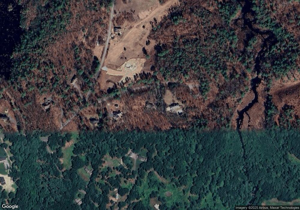
Map
Nearby Homes
- 0 Old Dunstable Rd
- 2 Wildflower Ln
- 660 Old Dunstable Rd
- 21 Heritage Ln
- 18 Ingalls Rd
- 6 Ingalls Rd
- 91 Chicopee Row
- 153 Off Pond St
- 7 Dempsey Way
- 446 Westford St
- 145 Groton Rd
- 1 Summer Village Rd
- 3 Colonel Rolls Dr
- 33 West St
- 35 Keyes Rd
- 34 West St
- 34 Shattuck St
- 78 Dunstable Rd
- 16 Saint Paul Ln Unit Lot 20
- 8 Jamie Rd
- 50 Bridge St
- 32 Bridge St
- 25 Hoyts Wharf Rd
- 8 Bridge St
- 331 Old Dunstable Rd
- 330 Old Dunstable Rd
- 15 Hoyts Wharf Rd
- 21 Hoyts Wharf Rd
- 309 Old Dunstable Rd
- 35 Hoyts Wharf Rd
- 29 Hoyts Wharf Rd
- (Lot 50-2) 42 Wharton Row
- (Lot 50-1) 52 Wharton Row
- Lt-B71 Little Hollow Ln
- Bldg4,SteF Main (Mill Run Plaza)
- LOT I Nashua Rd Unit G
- LOT I Nashua Rd
- LOT 2 Fawn Terrace Ln
- LOT 1 Deerfield Dr
- LtA/B Old Dunstable Rd