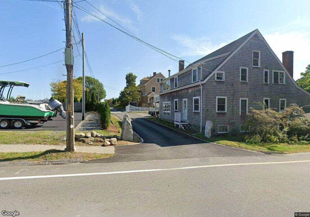
36 Bridge St Manchester, MA 01944
Estimated Value: $2,118,639 - $2,310,000
6
Beds
4
Baths
5,118
Sq Ft
$425/Sq Ft
Est. Value
About This Home
This home is located at 36 Bridge St, Manchester, MA 01944 and is currently estimated at $2,176,660, approximately $425 per square foot. 36 Bridge St is a home located in Essex County with nearby schools including Manchester Essex Regional High School, Tara Montessori School, and Glen Urquhart School.
Ownership History
Date
Name
Owned For
Owner Type
Purchase Details
Closed on
Mar 5, 2025
Sold by
Mcdiarmid Kathy E and Mcdiarmid Robert E
Bought by
Robert E & K Mcdiarmid Lt and Mcdiarmid
Current Estimated Value
Purchase Details
Closed on
Mar 2, 2004
Sold by
34 Bridge Street Rt and Mcdiarmid Robert E
Bought by
Mcdiarmid Robert E
Create a Home Valuation Report for This Property
The Home Valuation Report is an in-depth analysis detailing your home's value as well as a comparison with similar homes in the area
Home Values in the Area
Average Home Value in this Area
Purchase History
| Date | Buyer | Sale Price | Title Company |
|---|---|---|---|
| Robert E & K Mcdiarmid Lt | -- | None Available | |
| Robert E & K Mcdiarmid Lt | -- | None Available | |
| Mcdiarmid Robert E | -- | -- | |
| Mcdiarmid Robert E | -- | -- |
Source: Public Records
Mortgage History
| Date | Status | Borrower | Loan Amount |
|---|---|---|---|
| Previous Owner | Mcdiarmid Robert E | $600,000 |
Source: Public Records
Tax History Compared to Growth
Tax History
| Year | Tax Paid | Tax Assessment Tax Assessment Total Assessment is a certain percentage of the fair market value that is determined by local assessors to be the total taxable value of land and additions on the property. | Land | Improvement |
|---|---|---|---|---|
| 2025 | $14,461 | $1,580,400 | $615,600 | $964,800 |
| 2024 | $13,755 | $1,471,100 | $615,600 | $855,500 |
| 2023 | $13,551 | $1,299,200 | $552,000 | $747,200 |
| 2022 | $13,187 | $1,244,100 | $535,000 | $709,100 |
| 2021 | $13,463 | $1,225,000 | $535,000 | $690,000 |
| 2020 | $14,321 | $1,224,000 | $535,000 | $689,000 |
| 2019 | $13,233 | $1,178,400 | $509,500 | $668,900 |
| 2018 | $12,998 | $1,178,400 | $509,500 | $668,900 |
| 2017 | $12,495 | $1,135,900 | $467,000 | $668,900 |
| 2016 | $11,943 | $1,078,900 | $467,000 | $611,900 |
| 2015 | $11,240 | $1,036,900 | $424,600 | $612,300 |
Source: Public Records
Map
Nearby Homes
- 30 Pine St
- 48 Union St Unit 1
- 6 Summer St Unit D
- 35 Forster Rd
- 37 Forster Rd
- 122 Bridge St
- 2 and 2A Harbor St
- 1 Woodholm Cir
- 27 Norwood Ave Unit C
- 10 Jersey Ln
- 9 Masconomo St
- 56 Summer St Unit A
- 12 Vine St
- 4 Cobb Ave
- 159 Bridge St
- 17 Old Essex Rd
- 4 Knight Rd
- 6 Highland Ave
- 4 Windemere Park Extension
- 1 Crooked Ln
- 34 Bridge St
- 38 Bridge St
- 28 Bridge St Unit 2
- 28 Bridge St Unit 1
- 33 Bridge St
- 31 Bridge St
- 35 Bridge St
- 35 Bridge St
- 26 Bridge St
- 29 Bridge St
- 7 Ashland Ave
- 9 Ashland Ave
- 9 Ashland Ave Unit R1
- 9 Ashland Ave Unit R2
- 27 Bridge St
- 24 Bridge St
- 24 Bridge St Unit 204 & 205
- 34 Bennett St
- 25 Bridge St
- 38 Bennett St