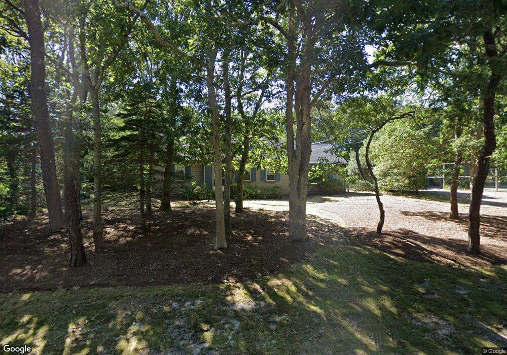
36 Brooks Rd Harwich Port, MA 02646
Northwest Harwich NeighborhoodEstimated Value: $778,000 - $1,366,000
3
Beds
2
Baths
1,508
Sq Ft
$702/Sq Ft
Est. Value
About This Home
This home is located at 36 Brooks Rd, Harwich Port, MA 02646 and is currently estimated at $1,058,420, approximately $701 per square foot. 36 Brooks Rd is a home located in Barnstable County with nearby schools including Harwich Elementary School, Chatham Elementary School, and Monomoy Regional Middle School.
Ownership History
Date
Name
Owned For
Owner Type
Purchase Details
Closed on
Jul 20, 1982
Bought by
Nolan John B
Current Estimated Value
Create a Home Valuation Report for This Property
The Home Valuation Report is an in-depth analysis detailing your home's value as well as a comparison with similar homes in the area
Home Values in the Area
Average Home Value in this Area
Purchase History
| Date | Buyer | Sale Price | Title Company |
|---|---|---|---|
| Nolan John B | $135,000 | -- |
Source: Public Records
Mortgage History
| Date | Status | Borrower | Loan Amount |
|---|---|---|---|
| Open | Nolan John B | $322,700 | |
| Closed | Nolan John B | $350,000 | |
| Closed | Nolan John B | $300,000 | |
| Closed | Nolan John B | $900,000 |
Source: Public Records
Tax History Compared to Growth
Tax History
| Year | Tax Paid | Tax Assessment Tax Assessment Total Assessment is a certain percentage of the fair market value that is determined by local assessors to be the total taxable value of land and additions on the property. | Land | Improvement |
|---|---|---|---|---|
| 2025 | $6,395 | $1,082,000 | $701,600 | $380,400 |
| 2024 | $6,186 | $1,025,800 | $661,900 | $363,900 |
| 2023 | $6,075 | $914,900 | $601,700 | $313,200 |
| 2022 | $6,203 | $764,900 | $523,300 | $241,600 |
| 2021 | $7,105 | $826,200 | $605,500 | $220,700 |
| 2020 | $7,025 | $804,700 | $590,300 | $214,400 |
| 2019 | $6,672 | $769,500 | $567,200 | $202,300 |
| 2018 | $6,520 | $719,300 | $515,700 | $203,600 |
| 2017 | $5,944 | $662,700 | $469,900 | $192,800 |
| 2016 | $5,916 | $652,300 | $469,900 | $182,400 |
| 2015 | $5,406 | $602,700 | $415,600 | $187,100 |
| 2014 | $5,130 | $585,000 | $403,200 | $181,800 |
Source: Public Records
Map
Nearby Homes
- 16 Mirasol Ln
- 7 Dunes Rd
- 28 Patricia Ln
- 74 Shore Rd
- 292 Massachusetts 28 Unit 1
- 292 Massachusetts 28 Unit 7
- 297 Massachusetts 28
- 297 Massachusetts 28 Unit 1
- 231 Roue 28 Unit 20
- 231 Route 28 Unit 20
- 231 Route 28 Unit 8
- 231 Route 28 Unit 15
- 264 Massachusetts 28
- 292 Route 28 Unit 7
- 13 Osborne Rd
- 405 Lower County Rd Unit 21
- 405 Lower County Rd Unit 23
- 188 Massachusetts 28
- 8 Wyndemere Bluffs Rd
- 23 Zylpha Rd