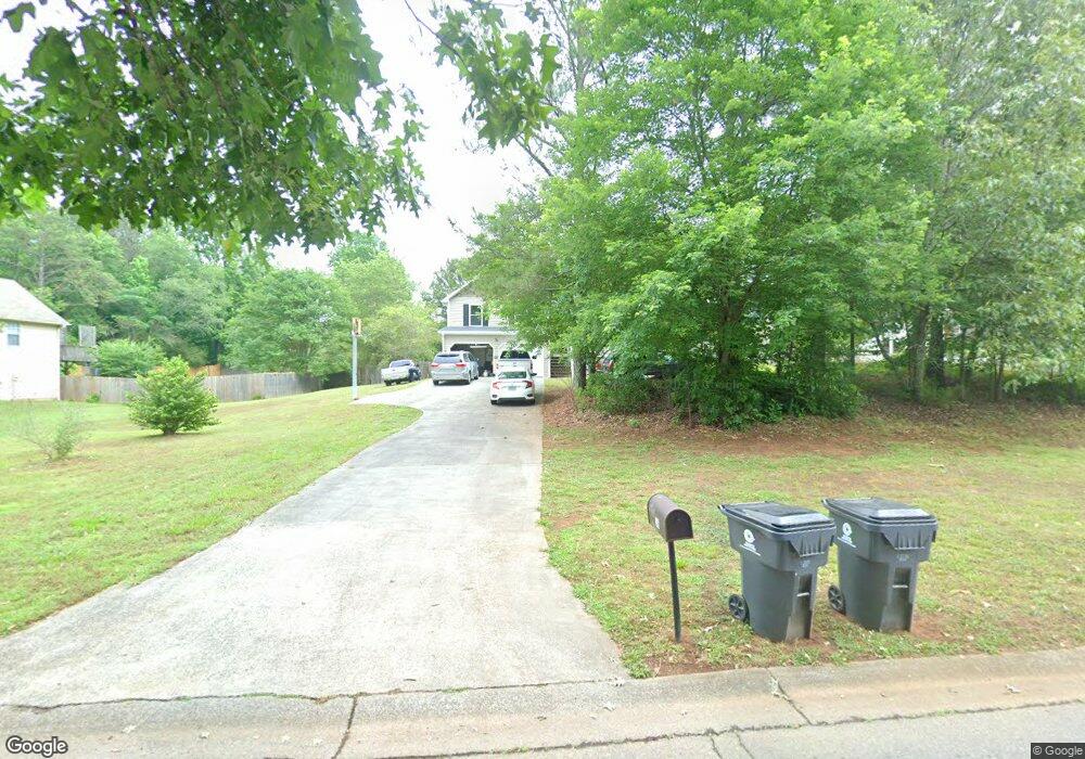
36 Canefield Dr Cartersville, GA 30120
Estimated Value: $287,000 - $300,265
3
Beds
3
Baths
1,474
Sq Ft
$199/Sq Ft
Est. Value
About This Home
This home is located at 36 Canefield Dr, Cartersville, GA 30120 and is currently estimated at $292,816, approximately $198 per square foot. 36 Canefield Dr is a home located in Bartow County with nearby schools including Mission Road Elementary School, Woodland Middle School, and Woodland High School.
Ownership History
Date
Name
Owned For
Owner Type
Purchase Details
Closed on
Nov 5, 2010
Sold by
Federal Home Loan Mortgage Corporation
Bought by
Wilson Terry J
Current Estimated Value
Home Financials for this Owner
Home Financials are based on the most recent Mortgage that was taken out on this home.
Original Mortgage
$64,765
Outstanding Balance
$42,861
Interest Rate
4.33%
Mortgage Type
FHA
Estimated Equity
$249,955
Purchase Details
Closed on
Sep 24, 2009
Sold by
Hamilton Sandra K
Bought by
Hamilton Raymond R
Create a Home Valuation Report for This Property
The Home Valuation Report is an in-depth analysis detailing your home's value as well as a comparison with similar homes in the area
Home Values in the Area
Average Home Value in this Area
Purchase History
| Date | Buyer | Sale Price | Title Company |
|---|---|---|---|
| Wilson Terry J | $65,640 | -- | |
| Hamilton Raymond R | -- | -- |
Source: Public Records
Mortgage History
| Date | Status | Borrower | Loan Amount |
|---|---|---|---|
| Open | Hamilton Raymond R | $64,765 |
Source: Public Records
Tax History Compared to Growth
Tax History
| Year | Tax Paid | Tax Assessment Tax Assessment Total Assessment is a certain percentage of the fair market value that is determined by local assessors to be the total taxable value of land and additions on the property. | Land | Improvement |
|---|---|---|---|---|
| 2024 | $2,997 | $123,352 | $21,400 | $101,952 |
| 2023 | $2,997 | $113,251 | $21,400 | $91,851 |
| 2022 | $2,307 | $90,848 | $18,000 | $72,848 |
| 2021 | $1,696 | $63,595 | $18,000 | $45,595 |
| 2020 | $1,747 | $63,595 | $18,000 | $45,595 |
| 2019 | $1,645 | $59,253 | $18,000 | $41,253 |
| 2018 | $1,405 | $50,435 | $10,000 | $40,435 |
| 2017 | $1,151 | $41,120 | $7,200 | $33,920 |
| 2016 | $1,160 | $41,120 | $7,200 | $33,920 |
| 2015 | $1,073 | $37,960 | $7,200 | $30,760 |
| 2014 | $1,073 | $36,760 | $7,200 | $29,560 |
| 2013 | -- | $34,160 | $7,200 | $26,960 |
Source: Public Records
Map
Nearby Homes
- 19 Frances Way SW
- 308 Penn Station Way
- 30 Road 1 South SW
- 23 Thrasher Rd SW
- 60 Woodland Rd SW
- 260 Road 2 South SW
- 78 Marr Rd SW
- 44 Willis Rd SW
- 20 Heartwood Dr SW
- 40 Heartwood Dr SW
- 718 Sugar Valley Rd SW
- 11 Forest Hill Dr SW
- 104 Road 3 South SW
- 74 Mission Hills Dr SW
- 54 Brent Cir SW
- 172 Road 3 South SW
- 11 Canefield Dr
- 38 Canefield Dr
- 0 Canefield Dr Unit 7068225
- 0 Canefield Dr Unit 7052252
- 0 Canefield Dr Unit 8597804
- 0 Canefield Dr Unit 8232895
- 0 Canefield Dr Unit 3249803
- 0 Canefield Dr Unit 3240080
- 13 Canefield Dr
- 40 Canefield Dr
- 19 Sugar Mill Dr SW
- 20 Sugar Mill Dr SW
- 15 Canefield Dr
- 39 Canefield Dr
- 42 Canefield Dr
- 14 Canefield Dr
- 22 Rubie Ln SW
- 17 Canefield Dr
- 18 Sugar Mill Dr SW
- 20 Grist Mill Ln