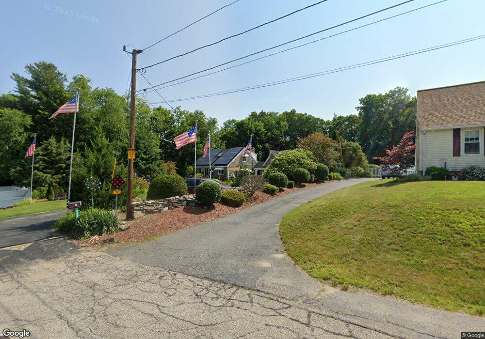
36 Carroll St Auburn, MA 01501
Stoneville NeighborhoodEstimated Value: $512,000 - $645,000
4
Beds
3
Baths
2,227
Sq Ft
$270/Sq Ft
Est. Value
About This Home
This home is located at 36 Carroll St, Auburn, MA 01501 and is currently estimated at $600,725, approximately $269 per square foot. 36 Carroll St is a home located in Worcester County with nearby schools including Auburn Senior High School and Shrewsbury Montessori School - Auburn Campus.
Ownership History
Date
Name
Owned For
Owner Type
Purchase Details
Closed on
Oct 10, 2024
Sold by
Cusson Thomas P and Delemarre Michelle R
Bought by
Cusson-Delemarre Rt and Cusson
Current Estimated Value
Purchase Details
Closed on
Feb 20, 2019
Sold by
Cusson Thomas P and Cusson Michelle R
Bought by
Cusson Thomas P and Cusson Michelle R
Create a Home Valuation Report for This Property
The Home Valuation Report is an in-depth analysis detailing your home's value as well as a comparison with similar homes in the area
Home Values in the Area
Average Home Value in this Area
Purchase History
| Date | Buyer | Sale Price | Title Company |
|---|---|---|---|
| Cusson-Delemarre Rt | -- | None Available | |
| Cusson-Delemarre Rt | -- | None Available | |
| Cusson Thomas P | -- | -- | |
| Cusson Thomas P | -- | -- |
Source: Public Records
Tax History Compared to Growth
Tax History
| Year | Tax Paid | Tax Assessment Tax Assessment Total Assessment is a certain percentage of the fair market value that is determined by local assessors to be the total taxable value of land and additions on the property. | Land | Improvement |
|---|---|---|---|---|
| 2025 | $79 | $556,200 | $136,800 | $419,400 |
| 2024 | $8,347 | $559,100 | $131,600 | $427,500 |
| 2023 | $8,231 | $518,300 | $119,700 | $398,600 |
| 2022 | $7,554 | $449,100 | $119,700 | $329,400 |
| 2021 | $7,405 | $408,200 | $106,300 | $301,900 |
| 2020 | $7,127 | $396,400 | $106,300 | $290,100 |
| 2019 | $6,745 | $366,200 | $104,500 | $261,700 |
| 2018 | $6,603 | $358,100 | $97,800 | $260,300 |
| 2017 | $6,399 | $348,900 | $88,600 | $260,300 |
| 2016 | $6,227 | $344,200 | $91,500 | $252,700 |
| 2015 | $5,775 | $334,600 | $91,500 | $243,100 |
| 2014 | $5,687 | $328,900 | $87,400 | $241,500 |
Source: Public Records
Map
Nearby Homes
- 2 Keen St
- 4 S Edlin St
- 176 Boyce St
- 177 Boyce St
- 53 James St
- 5 Commonwealth Ave
- 8 Shirley St
- 35 Genessee St Unit I
- 27 Havana Rd
- 24 Meena Dr
- 25 Vinal St Unit 26
- 25 Vinal St Unit 29
- 25 Vinal St Unit 30
- 170 Stafford St
- 20 Alpine Trail
- 114 Henshaw St
- 315 Stafford St
- 177 Oxford St N
- 40 Ludlow St
- 24 Ludlow St