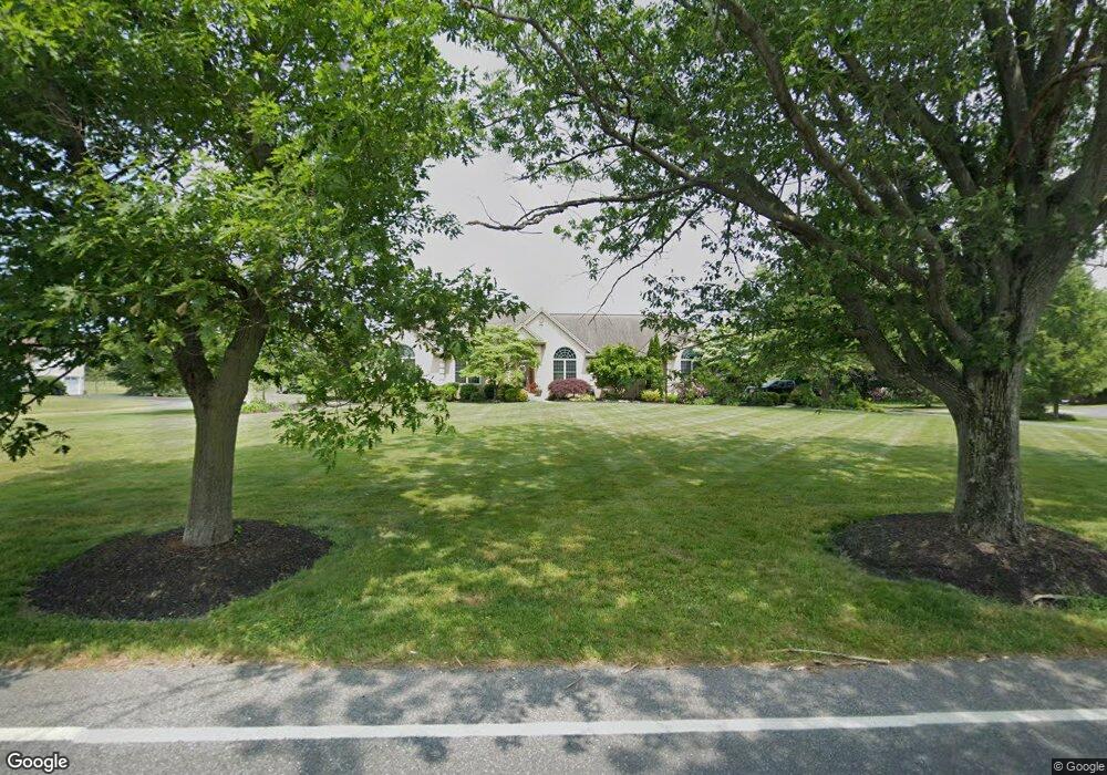
36 Cedar Rd Mickleton, NJ 08056
Estimated Value: $605,244 - $642,000
Studio
--
Bath
2,409
Sq Ft
$261/Sq Ft
Est. Value
About This Home
This home is located at 36 Cedar Rd, Mickleton, NJ 08056 and is currently estimated at $627,811, approximately $260 per square foot. 36 Cedar Rd is a home located in Gloucester County with nearby schools including Jeffrey Clark School, Samuel Mickle School, and Kingsway Regional Middle School.
Ownership History
Date
Name
Owned For
Owner Type
Purchase Details
Closed on
Sep 3, 2020
Sold by
Barber Mark J and Barber Mark James
Bought by
Barber Mark James and Barber Karen Marie
Current Estimated Value
Home Financials for this Owner
Home Financials are based on the most recent Mortgage that was taken out on this home.
Original Mortgage
$273,800
Outstanding Balance
$194,571
Interest Rate
2.71%
Mortgage Type
New Conventional
Estimated Equity
$433,240
Purchase Details
Closed on
Jun 26, 2013
Sold by
Cox Barry and Cox Deborah
Bought by
Barber Mark J
Home Financials for this Owner
Home Financials are based on the most recent Mortgage that was taken out on this home.
Original Mortgage
$311,200
Interest Rate
3.83%
Mortgage Type
New Conventional
Purchase Details
Closed on
Mar 20, 1998
Sold by
Peaslee Richard C and Xydis Dorothy P
Bought by
Cox Barry A and Cox Deborah A
Create a Home Valuation Report for This Property
The Home Valuation Report is an in-depth analysis detailing your home's value as well as a comparison with similar homes in the area
Home Values in the Area
Average Home Value in this Area
Purchase History
| Date | Buyer | Sale Price | Title Company |
|---|---|---|---|
| Barber Mark James | -- | National Title Agency | |
| Barber Mark J | $389,000 | None Available | |
| Cox Barry A | $60,000 | Pilgrim Title Agency |
Source: Public Records
Mortgage History
| Date | Status | Borrower | Loan Amount |
|---|---|---|---|
| Open | Barber Mark James | $273,800 | |
| Closed | Barber Mark J | $311,200 |
Source: Public Records
Tax History
| Year | Tax Paid | Tax Assessment Tax Assessment Total Assessment is a certain percentage of the fair market value that is determined by local assessors to be the total taxable value of land and additions on the property. | Land | Improvement |
|---|---|---|---|---|
| 2025 | $12,443 | $391,400 | $97,400 | $294,000 |
| 2024 | $11,013 | $391,400 | $97,400 | $294,000 |
| 2023 | $11,013 | $357,800 | $97,400 | $260,400 |
| 2022 | $10,702 | $357,800 | $97,400 | $260,400 |
| 2021 | $10,773 | $357,800 | $97,400 | $260,400 |
| 2020 | $10,823 | $357,800 | $97,400 | $260,400 |
| 2019 | $10,713 | $357,800 | $97,400 | $260,400 |
| 2018 | $9,756 | $295,900 | $74,600 | $221,300 |
| 2017 | $9,629 | $295,900 | $74,600 | $221,300 |
| 2016 | $9,516 | $295,900 | $74,600 | $221,300 |
| 2015 | $9,120 | $295,900 | $74,600 | $221,300 |
| 2014 | $8,557 | $295,900 | $74,600 | $221,300 |
Source: Public Records
Map
Nearby Homes
- 18 Millwood Dr
- 200 David Mills Ln
- 209 Charles Corliss Blvd
- 120 Jubilee Dr
- 253 Jessups Mill Rd
- 276-280 County House Rd
- 255 Genesee Rd
- 178 Westbrook Rd
- 355 Friendship Rd
- 415 Country Way
- 253 Jennings Way
- 424 Country Way
- 241 Gaunt Dr
- 118 Timberlane Rd
- 67 E Rattling Run Rd
- 139 Tradewinds Dr
- 121 Weathervane Dr
- 2701 Lamington Ct
- 0 Tomlin Station Rd Unit NJGL2061600
- 159 Acorn Dr
Your Personal Tour Guide
Ask me questions while you tour the home.