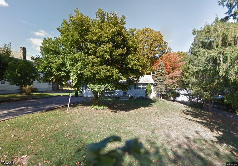
36 Cedar St Bloomingdale, NJ 07403
Estimated Value: $338,000 - $563,000
--
Bed
--
Bath
952
Sq Ft
$503/Sq Ft
Est. Value
About This Home
This home is located at 36 Cedar St, Bloomingdale, NJ 07403 and is currently estimated at $478,907, approximately $503 per square foot. 36 Cedar St is a home located in Passaic County with nearby schools including Samuel R. Donald School, Martha B. Day School, and Walter T. Bergen Middle School.
Ownership History
Date
Name
Owned For
Owner Type
Purchase Details
Closed on
Oct 18, 2002
Sold by
Santiago Saul
Bought by
Santiago Elodia
Current Estimated Value
Home Financials for this Owner
Home Financials are based on the most recent Mortgage that was taken out on this home.
Original Mortgage
$181,000
Interest Rate
6.02%
Purchase Details
Closed on
Oct 14, 1998
Sold by
Wyse Thomas H and Wyse Dolores A
Bought by
Santiago Saul and Santiago Elodia
Home Financials for this Owner
Home Financials are based on the most recent Mortgage that was taken out on this home.
Original Mortgage
$120,000
Interest Rate
6.64%
Purchase Details
Closed on
Sep 14, 1994
Sold by
1St Sav Bk Little Fall
Bought by
Wyse Thomas and Wyse Dolores
Create a Home Valuation Report for This Property
The Home Valuation Report is an in-depth analysis detailing your home's value as well as a comparison with similar homes in the area
Home Values in the Area
Average Home Value in this Area
Purchase History
| Date | Buyer | Sale Price | Title Company |
|---|---|---|---|
| Santiago Elodia | $44,547 | -- | |
| Santiago Saul | $150,000 | Lawyers Title Insurance Corp | |
| Wyse Thomas | $125,000 | -- |
Source: Public Records
Mortgage History
| Date | Status | Borrower | Loan Amount |
|---|---|---|---|
| Previous Owner | Santiago Elodia | $181,000 | |
| Previous Owner | Santiago Saul | $120,000 |
Source: Public Records
Tax History Compared to Growth
Tax History
| Year | Tax Paid | Tax Assessment Tax Assessment Total Assessment is a certain percentage of the fair market value that is determined by local assessors to be the total taxable value of land and additions on the property. | Land | Improvement |
|---|---|---|---|---|
| 2025 | $11,536 | $251,500 | $133,400 | $118,100 |
| 2024 | $11,323 | $251,500 | $133,400 | $118,100 |
| 2022 | $11,305 | $251,500 | $133,400 | $118,100 |
| 2021 | $11,061 | $251,500 | $133,400 | $118,100 |
| 2020 | $10,970 | $251,500 | $133,400 | $118,100 |
| 2019 | $10,860 | $251,500 | $133,400 | $118,100 |
| 2018 | $10,802 | $251,500 | $133,400 | $118,100 |
| 2017 | $10,598 | $251,500 | $133,400 | $118,100 |
| 2016 | $10,450 | $251,500 | $133,400 | $118,100 |
| 2015 | $10,196 | $251,500 | $133,400 | $118,100 |
| 2014 | $9,821 | $251,500 | $133,400 | $118,100 |
Source: Public Records
Map
Nearby Homes
- 148 Vreeland Ave
- 20 Ella St
- 23A Highland Ave
- 20 Sunrise Ave
- 3 Mountain Ridge Rd Unit C0103
- 49 Lakeview Ave
- 21 Sunrise Ave
- 5 Lakeview Ave
- 9 Walter Dr
- 7 Bailey Ave
- 57 Terrace Ave
- 108 Hamburg Turnpike
- 904 River Place
- 26 Ann St
- 4 Star Lake Rd Unit D
- 515 River Place
- 265 Winthrop Dr Unit 54
- 292 MacOpin Rd
- 474 Cambridge Dr