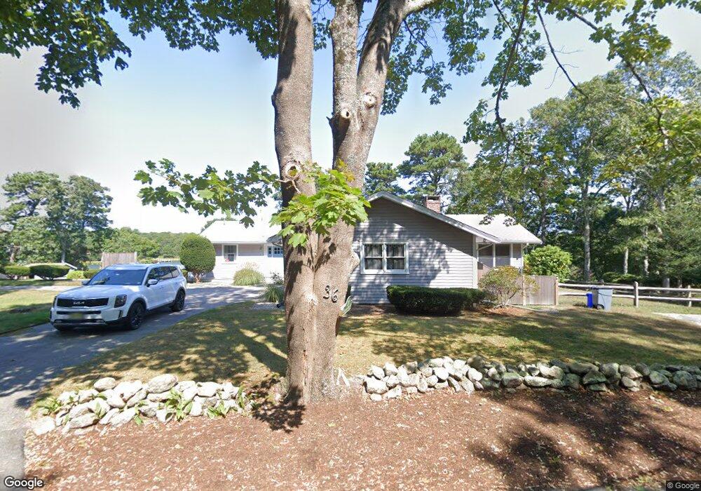
36 Clamshell Cove Rd Cotuit, MA 02635
Cotuit NeighborhoodEstimated Value: $1,479,000 - $1,938,656
4
Beds
5
Baths
1,999
Sq Ft
$887/Sq Ft
Est. Value
About This Home
This home is located at 36 Clamshell Cove Rd, Cotuit, MA 02635 and is currently estimated at $1,773,414, approximately $887 per square foot. 36 Clamshell Cove Rd is a home located in Barnstable County with nearby schools including West Villages Elementary School, Barnstable United Elementary School, and Barnstable Intermediate School.
Ownership History
Date
Name
Owned For
Owner Type
Purchase Details
Closed on
Oct 19, 2010
Sold by
Thompson Audrey H
Bought by
Thompson Paul B
Current Estimated Value
Purchase Details
Closed on
Jun 2, 2009
Sold by
Thompson Audrey H
Bought by
Thompson Paul B
Purchase Details
Closed on
Feb 26, 2009
Sold by
Thompson Audrey H
Bought by
Audrey H Thompson Ft
Purchase Details
Closed on
May 15, 1981
Bought by
Thompson Paul B and Sloane Jennifer
Create a Home Valuation Report for This Property
The Home Valuation Report is an in-depth analysis detailing your home's value as well as a comparison with similar homes in the area
Home Values in the Area
Average Home Value in this Area
Purchase History
| Date | Buyer | Sale Price | Title Company |
|---|---|---|---|
| Thompson Paul B | -- | -- | |
| Thompson Paul B | -- | -- | |
| Audrey H Thompson Ft | -- | -- | |
| Thompson Paul B | $182,300 | -- |
Source: Public Records
Tax History Compared to Growth
Tax History
| Year | Tax Paid | Tax Assessment Tax Assessment Total Assessment is a certain percentage of the fair market value that is determined by local assessors to be the total taxable value of land and additions on the property. | Land | Improvement |
|---|---|---|---|---|
| 2025 | $14,586 | $1,746,800 | $1,110,700 | $636,100 |
| 2024 | $13,705 | $1,739,200 | $1,110,700 | $628,500 |
| 2023 | $13,074 | $1,562,000 | $1,009,700 | $552,300 |
| 2022 | $10,756 | $1,040,200 | $546,600 | $493,600 |
| 2021 | $10,433 | $944,900 | $529,300 | $415,600 |
| 2020 | $10,929 | $933,300 | $529,300 | $404,000 |
| 2019 | $10,646 | $896,100 | $529,300 | $366,800 |
| 2018 | $3,178 | $938,100 | $617,700 | $320,400 |
| 2017 | $10,928 | $926,100 | $617,700 | $308,400 |
| 2016 | $10,476 | $910,200 | $601,800 | $308,400 |
| 2015 | $10,545 | $915,400 | $611,700 | $303,700 |
Source: Public Records
Map
Nearby Homes
- 28 Quaker Run Rd
- 353 Simons Narrows Rd
- 640 Poponessett Rd
- 640 Poponessett Rd
- 239 Clamshell Cove Rd
- 12 Tracey Rd
- 11 Teal Cir
- 55 Shoestring Bay Rd
- 61 Shoestring Bay Rd
- 35 Spinnaker Dr W
- 22 Camden Ln
- 20 Mutiny Way
- 105 Bay Rd
- 77 The Heights
- 46 Oak St
- 46 Oak St
- 160 Mashpee Neck Rd
- 6 Cedar St
- 6 Cedar St
- 16 Cedar St
- 22 Clamshell Cove Rd
- 41 Clamshell Cove Rd
- 23 Clamshell Cove Rd
- 14 Clamshell Point Ln
- 12 Clamshell Cove Rd
- 61 Clamshell Cove Rd
- 17 Clamshell Point Ln
- 128 Cotuit Cove Rd
- 17 Clam Shell Point Ln
- 112 Cotuit Cove Rd
- 82 Clamshell Cove Rd
- 40 Clamshell Point Ln
- 37 Clamshell Point Ln
- 71 Clamshell Cove Rd
- 50 Clam Shell Point Ln
- 92 Cotuit Cove Rd
- 61 Clamshell Point Ln
- 98 Clamshell Cove Rd
- 85 Clamshell Cove Rd
- 50 Clamshell Point Ln
