36 Cocheset Path West Yarmouth, MA 02673
West Yarmouth NeighborhoodEstimated Value: $638,000 - $716,000
3
Beds
2
Baths
1,001
Sq Ft
$677/Sq Ft
Est. Value
About This Home
This home is located at 36 Cocheset Path, West Yarmouth, MA 02673 and is currently estimated at $677,350, approximately $676 per square foot. 36 Cocheset Path is a home located in Barnstable County with nearby schools including Dennis-Yarmouth Regional High School, Barnstable Community Horace Mann Charter Public School, and Sturgis Charter Public School.
Ownership History
Date
Name
Owned For
Owner Type
Purchase Details
Closed on
Jan 28, 2000
Sold by
Frazier Ruth M
Bought by
Frazier Jason
Current Estimated Value
Purchase Details
Closed on
Nov 10, 1998
Sold by
Mccarthy Myra M and Mccarthy Gerald J
Bought by
Frazier Ruth M
Purchase Details
Closed on
Aug 2, 1990
Sold by
Whynott Vernon D
Bought by
Mccarthy Gerald J
Create a Home Valuation Report for This Property
The Home Valuation Report is an in-depth analysis detailing your home's value as well as a comparison with similar homes in the area
Home Values in the Area
Average Home Value in this Area
Purchase History
| Date | Buyer | Sale Price | Title Company |
|---|---|---|---|
| Frazier Jason | $120,000 | -- | |
| Frazier Ruth M | $156,250 | -- | |
| Mccarthy Gerald J | $149,900 | -- |
Source: Public Records
Mortgage History
| Date | Status | Borrower | Loan Amount |
|---|---|---|---|
| Open | Mccarthy Gerald J | $244,000 | |
| Closed | Mccarthy Gerald J | $261,000 | |
| Closed | Mccarthy Gerald J | $195,000 |
Source: Public Records
Tax History Compared to Growth
Tax History
| Year | Tax Paid | Tax Assessment Tax Assessment Total Assessment is a certain percentage of the fair market value that is determined by local assessors to be the total taxable value of land and additions on the property. | Land | Improvement |
|---|---|---|---|---|
| 2025 | $4,546 | $642,100 | $149,900 | $492,200 |
| 2024 | $4,191 | $567,900 | $114,200 | $453,700 |
| 2023 | $4,340 | $535,100 | $133,400 | $401,700 |
| 2022 | $4,083 | $444,800 | $121,200 | $323,600 |
| 2021 | $3,808 | $398,300 | $121,200 | $277,100 |
| 2020 | $16 | $364,000 | $114,800 | $249,200 |
| 2019 | $3,338 | $330,500 | $114,800 | $215,700 |
| 2018 | $0 | $315,600 | $99,900 | $215,700 |
| 2017 | $2,934 | $292,800 | $79,900 | $212,900 |
| 2016 | $2,922 | $292,800 | $79,900 | $212,900 |
| 2015 | $2,934 | $292,200 | $84,900 | $207,300 |
Source: Public Records
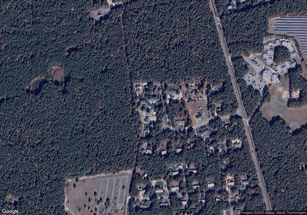
Map
Nearby Homes
- 29 Lumberjack Trail
- 68 Lumberjack Trail
- 248 Camp St Unit M5
- 61 Coolidge Rd
- 300 Buck Island Rd Unit 8B
- 300 Buck Island Rd Unit 13F
- 300 Buck Island Rd Unit C13F
- 441 Buck Island Rd Unit E5
- 441 Buck Island Rd Unit B1
- 441 Buck Island Rd Unit E1
- 222 Buck Island Rd Unit 3-4
- 111 Old Hyannis Rd
- 121 Camp St Unit 128
- 481 Buck Island Rd Unit 17FA
- 11 Elizabeth Ln
- 9 Roberta Dr
- 99 Old Hyannis Rd
- 25 Woodcrest Ln
- 83 Sisters Cir
- 83 Sisters Cir
- 40 Cocheset Path
- 32 Cocheset Path
- 34 Cocheset Path
- 28 Cocheset Path
- 39 Cocheset Path
- 37 Cocheset Path
- 39 Cocheset Path
- 12 Cocheset Path
- 31 Cocheset Path
- 18 Cocheset Path
- 435 Higgins Crowell Rd
- 25 Cocheset Path
- 423 Higgins Crowell Rd
- 423 Higgins Crowell Rd
- 17 Cocheset Path
- 36 Chandler Gray Rd
- 443 Higgins Crowell Rd
- 52 Chandler Gray Rd
- 10 Cocheset Path
- 6 Cocheset Path