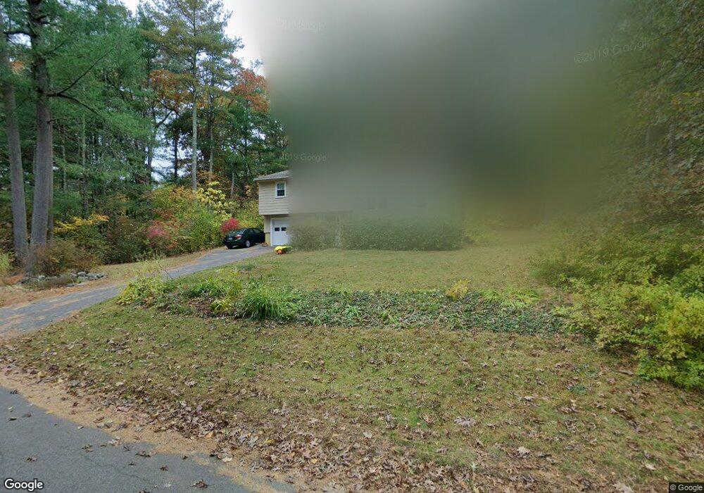
36 Colonial Rd Sudbury, MA 01776
Estimated Value: $712,000 - $860,000
3
Beds
3
Baths
1,104
Sq Ft
$694/Sq Ft
Est. Value
About This Home
This home is located at 36 Colonial Rd, Sudbury, MA 01776 and is currently estimated at $766,019, approximately $693 per square foot. 36 Colonial Rd is a home located in Middlesex County with nearby schools including Peter Noyes Elementary School, Ephraim Curtis Middle School, and Lincoln-Sudbury Regional High School.
Ownership History
Date
Name
Owned For
Owner Type
Purchase Details
Closed on
Jun 23, 2014
Sold by
Taranto Frederick and Taranto Elaine M
Bought by
Taranto Elaine M
Current Estimated Value
Purchase Details
Closed on
Aug 1, 1985
Bought by
Taranto Elaine M
Create a Home Valuation Report for This Property
The Home Valuation Report is an in-depth analysis detailing your home's value as well as a comparison with similar homes in the area
Home Values in the Area
Average Home Value in this Area
Purchase History
| Date | Buyer | Sale Price | Title Company |
|---|---|---|---|
| Taranto Elaine M | -- | -- | |
| Taranto Elaine M | $168,000 | -- |
Source: Public Records
Mortgage History
| Date | Status | Borrower | Loan Amount |
|---|---|---|---|
| Previous Owner | Taranto Elaine M | $35,000 | |
| Previous Owner | Taranto Elaine M | $75,000 | |
| Previous Owner | Taranto Elaine M | $36,000 |
Source: Public Records
Tax History
| Year | Tax Paid | Tax Assessment Tax Assessment Total Assessment is a certain percentage of the fair market value that is determined by local assessors to be the total taxable value of land and additions on the property. | Land | Improvement |
|---|---|---|---|---|
| 2025 | $10,960 | $748,600 | $463,200 | $285,400 |
| 2024 | $10,602 | $725,700 | $449,600 | $276,100 |
| 2023 | $10,564 | $669,900 | $416,400 | $253,500 |
| 2022 | $10,027 | $555,500 | $382,000 | $173,500 |
| 2021 | $9,809 | $520,900 | $382,000 | $138,900 |
| 2020 | $9,611 | $520,900 | $382,000 | $138,900 |
| 2019 | $9,329 | $520,900 | $382,000 | $138,900 |
| 2018 | $9,293 | $518,300 | $402,000 | $116,300 |
| 2017 | $8,968 | $505,500 | $397,200 | $108,300 |
| 2016 | $8,704 | $489,000 | $382,000 | $107,000 |
| 2015 | $8,205 | $466,200 | $367,200 | $99,000 |
| 2014 | $8,164 | $452,800 | $356,400 | $96,400 |
Source: Public Records
Map
Nearby Homes
- 46 Brewster Rd
- 62 Churchill St
- 427 Concord Rd
- 11 October Rd
- 11 Farmstead Ln Unit 11
- 26 Clark Rd
- 30 Rolling Ln
- 30 Kendall Rd
- 1011 Boston Post Rd
- 111 Willis Rd
- 557 Dutton Rd Unit 2
- 0 Robbins Rd
- 45 Webster Cir
- 24 Woodland Rd
- 55 Widow Rites Ln
- 45 Widow Rites Ln
- 30 Harness Ln
- 53 Pine St
- 15 Harness Ln
- 6 Old County Rd Unit 16
Your Personal Tour Guide
Ask me questions while you tour the home.