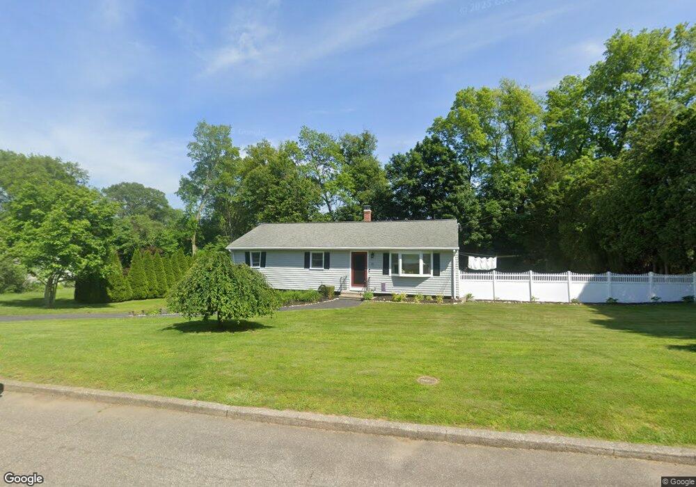
36 Covington Dr Milford, CT 06461
Parkway/Wheelers Farm Road NeighborhoodEstimated Value: $472,000 - $535,000
3
Beds
2
Baths
1,222
Sq Ft
$415/Sq Ft
Est. Value
About This Home
This home is located at 36 Covington Dr, Milford, CT 06461 and is currently estimated at $507,345, approximately $415 per square foot. 36 Covington Dr is a home located in New Haven County with nearby schools including Mathewson School, Harborside Middle School, and Jonathan Law High School.
Ownership History
Date
Name
Owned For
Owner Type
Purchase Details
Closed on
Jun 24, 2005
Sold by
Ren 3Rd Francis E and Ren Janice
Bought by
Hoey Howard D and Hoey Susan K
Current Estimated Value
Home Financials for this Owner
Home Financials are based on the most recent Mortgage that was taken out on this home.
Original Mortgage
$160,000
Outstanding Balance
$83,852
Interest Rate
5.82%
Estimated Equity
$423,493
Purchase Details
Closed on
Jun 2, 1997
Sold by
Lang Herta J Est
Bought by
Rivera Jorge L and Rivera Damaris
Create a Home Valuation Report for This Property
The Home Valuation Report is an in-depth analysis detailing your home's value as well as a comparison with similar homes in the area
Home Values in the Area
Average Home Value in this Area
Purchase History
| Date | Buyer | Sale Price | Title Company |
|---|---|---|---|
| Hoey Howard D | $345,500 | -- | |
| Hoey Howard D | $345,500 | -- | |
| Rivera Jorge L | $80,000 | -- | |
| Rivera Jorge L | $80,000 | -- |
Source: Public Records
Mortgage History
| Date | Status | Borrower | Loan Amount |
|---|---|---|---|
| Open | Rivera Jorge L | $50,000 | |
| Open | Rivera Jorge L | $160,000 |
Source: Public Records
Tax History
| Year | Tax Paid | Tax Assessment Tax Assessment Total Assessment is a certain percentage of the fair market value that is determined by local assessors to be the total taxable value of land and additions on the property. | Land | Improvement |
|---|---|---|---|---|
| 2025 | $6,733 | $227,840 | $112,440 | $115,400 |
| 2024 | $6,639 | $227,840 | $112,440 | $115,400 |
| 2023 | $6,190 | $227,840 | $112,440 | $115,400 |
| 2022 | $6,072 | $227,840 | $112,440 | $115,400 |
| 2021 | $5,218 | $188,700 | $77,920 | $110,780 |
| 2020 | $5,223 | $188,700 | $77,920 | $110,780 |
| 2019 | $5,229 | $188,700 | $77,920 | $110,780 |
| 2018 | $5,235 | $188,700 | $77,920 | $110,780 |
| 2017 | $5,244 | $188,700 | $77,920 | $110,780 |
| 2016 | $5,224 | $187,660 | $77,920 | $109,740 |
| 2015 | $5,232 | $187,660 | $77,920 | $109,740 |
| 2014 | $5,108 | $187,660 | $77,920 | $109,740 |
Source: Public Records
Map
Nearby Homes
- 238 Zion Hill Rd
- 103 Ford St
- 0 E Rutland Rd
- 27 Peck St
- 156 Meadow St
- 190 W Main St
- 299 W Main St
- 96 W Main St
- 116 Cornfield Rd
- 152 W River St
- 146 High St Unit 102
- 146 High St Unit 303
- 146 High St Unit 207
- 73 Audubon Close Unit 73
- 42 Milford Hunt Ln
- 25 Southwick Ct N
- 6 Vernon Ct
- 492 North St
- 7 Fire Thorn Ln Unit 7
- 62 Robert Treat Pkwy
- 26 Covington Dr
- 46 Covington Dr
- 146 Joyce Ct
- 154 Joyce Ct
- 138 Joyce Ct
- 39 Covington Dr
- 162 Joyce Ct
- 16 Covington Dr
- 16 Covington Dr
- 16 Covington Dr Unit Multi Family Rental
- 49 Covington Dr
- 29 Covington Dr
- 130 Joyce Ct
- 149 Joyce Ct
- 60 Covington Dr
- 141 Joyce Ct
- 72 Oronoque Rd
- 157 Joyce Ct
- 19 Covington Dr
- 82 Oronoque Rd