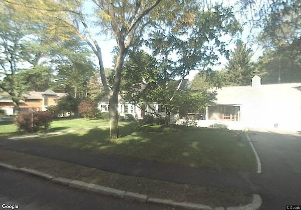
36 Crestwood Rd West Newton, MA 02465
Newtonville NeighborhoodEstimated Value: $2,668,400 - $3,334,000
3
Beds
4
Baths
3,562
Sq Ft
$857/Sq Ft
Est. Value
About This Home
This home is located at 36 Crestwood Rd, West Newton, MA 02465 and is currently estimated at $3,052,600, approximately $856 per square foot. 36 Crestwood Rd is a home located in Middlesex County with nearby schools including Peirce Elementary School, F.A. Day Middle School, and Newton North High School.
Ownership History
Date
Name
Owned For
Owner Type
Purchase Details
Closed on
Oct 26, 2018
Sold by
Berke Arthur J and Berke Murielle M
Bought by
Smyly David
Current Estimated Value
Home Financials for this Owner
Home Financials are based on the most recent Mortgage that was taken out on this home.
Original Mortgage
$950,000
Outstanding Balance
$831,901
Interest Rate
4.6%
Mortgage Type
Unknown
Estimated Equity
$2,220,699
Purchase Details
Closed on
Aug 25, 1994
Sold by
Kaufman Susan
Bought by
Berke Arthur J and Berke Murielle M
Purchase Details
Closed on
Sep 24, 1990
Sold by
Nixon Ethel S
Bought by
Kaufman Susan
Create a Home Valuation Report for This Property
The Home Valuation Report is an in-depth analysis detailing your home's value as well as a comparison with similar homes in the area
Home Values in the Area
Average Home Value in this Area
Purchase History
| Date | Buyer | Sale Price | Title Company |
|---|---|---|---|
| Smyly David | $2,350,000 | -- | |
| Berke Arthur J | $680,000 | -- | |
| Kaufman Susan | $550,000 | -- |
Source: Public Records
Mortgage History
| Date | Status | Borrower | Loan Amount |
|---|---|---|---|
| Open | Smyly David | $950,000 | |
| Previous Owner | Kaufman Susan | $950,000 |
Source: Public Records
Tax History Compared to Growth
Tax History
| Year | Tax Paid | Tax Assessment Tax Assessment Total Assessment is a certain percentage of the fair market value that is determined by local assessors to be the total taxable value of land and additions on the property. | Land | Improvement |
|---|---|---|---|---|
| 2025 | $26,008 | $2,653,900 | $1,801,500 | $852,400 |
| 2024 | $25,148 | $2,576,600 | $1,749,000 | $827,600 |
| 2023 | $24,095 | $2,366,900 | $1,389,500 | $977,400 |
| 2022 | $23,635 | $2,246,700 | $1,225,400 | $1,021,300 |
| 2021 | $22,806 | $2,119,500 | $1,156,000 | $963,500 |
| 2020 | $22,128 | $2,119,500 | $1,156,000 | $963,500 |
| 2019 | $21,504 | $2,057,800 | $1,122,300 | $935,500 |
| 2018 | $20,880 | $1,929,800 | $1,002,400 | $927,400 |
| 2017 | $20,245 | $1,820,600 | $945,700 | $874,900 |
| 2016 | $19,363 | $1,701,500 | $883,800 | $817,700 |
| 2015 | $18,462 | $1,590,200 | $826,000 | $764,200 |
Source: Public Records
Map
Nearby Homes
- 61 Lakeview Ave
- 308 Prince St
- 39 Valentine Park
- 123-125 Mount Vernon St
- 123 Mount Vernon St Unit 2
- 318 Austin St Unit A
- 22 Walnut Place Unit 1
- 12 Wiswall St
- 4 Wiswall St
- 957 Washington St Unit 1
- 18 Sewall St
- 27 Cross St Unit 27
- 935 Washington St Unit 8
- 34 Morton Rd
- 887 Commonwealth Ave
- 911 Washington St
- 40 Sewall St
- 300 Cabot St
- 43 Walker St
- 11 Randlett Park
- 20 Crestwood Rd
- 204 Forest Ave
- 33 Crestwood Rd
- 33 Crestwood Rd
- 190 Forest Ave
- 55 Crestwood Rd
- 60 Crestwood Rd
- 84 Bigelow Rd
- 25 Sheffield Rd
- 56 & 70 Bigelow Rd
- 56 Bigelow Rd
- 180 Forest Ave
- 120 Bigelow Rd
- 44 Sylvan Ave
- 31 Sheffield Rd
- 19 Sheffield Rd
- 24 Estabrook Rd
- 69 Crestwood Rd
- 70 Crestwood Rd
- 179 Forest Ave