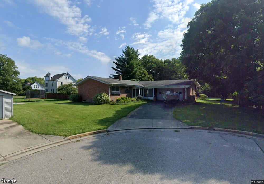
36 Dejerus Ln Greendale, IN 47025
Estimated Value: $232,000 - $337,000
2
Beds
2
Baths
1,452
Sq Ft
$190/Sq Ft
Est. Value
About This Home
This home is located at 36 Dejerus Ln, Greendale, IN 47025 and is currently estimated at $276,371, approximately $190 per square foot. 36 Dejerus Ln is a home located in Dearborn County with nearby schools including Lawrenceburg Primary School, Central Elementary School, and Greendale Middle School.
Ownership History
Date
Name
Owned For
Owner Type
Purchase Details
Closed on
Jun 2, 2018
Sold by
Koors Jeffrey M and Koors Emily E
Bought by
Koors Emily E and Johns Robert
Current Estimated Value
Home Financials for this Owner
Home Financials are based on the most recent Mortgage that was taken out on this home.
Original Mortgage
$62,500
Outstanding Balance
$44,848
Interest Rate
4.5%
Mortgage Type
Unknown
Estimated Equity
$231,523
Purchase Details
Closed on
Dec 6, 2012
Sold by
Rupp Faye and Rupp Carl
Bought by
Koors Jeffrey M and Koors Emily E
Home Financials for this Owner
Home Financials are based on the most recent Mortgage that was taken out on this home.
Original Mortgage
$58,000
Interest Rate
3.25%
Mortgage Type
New Conventional
Create a Home Valuation Report for This Property
The Home Valuation Report is an in-depth analysis detailing your home's value as well as a comparison with similar homes in the area
Home Values in the Area
Average Home Value in this Area
Purchase History
| Date | Buyer | Sale Price | Title Company |
|---|---|---|---|
| Koors Emily E | -- | -- | |
| Koors Jeffrey M | -- | -- |
Source: Public Records
Mortgage History
| Date | Status | Borrower | Loan Amount |
|---|---|---|---|
| Open | Koors Emily E | $62,500 | |
| Previous Owner | Koors Jeffrey M | $58,000 |
Source: Public Records
Tax History
| Year | Tax Paid | Tax Assessment Tax Assessment Total Assessment is a certain percentage of the fair market value that is determined by local assessors to be the total taxable value of land and additions on the property. | Land | Improvement |
|---|---|---|---|---|
| 2025 | $2,424 | $252,000 | $26,200 | $225,800 |
| 2024 | $2,424 | $242,400 | $26,200 | $216,200 |
| 2023 | $2,337 | $222,600 | $26,200 | $196,400 |
| 2022 | $2,157 | $208,200 | $26,200 | $182,000 |
| 2021 | $2,062 | $199,100 | $26,200 | $172,900 |
| 2020 | $1,226 | $119,000 | $26,200 | $92,800 |
| 2019 | $1,230 | $119,000 | $26,200 | $92,800 |
| 2018 | $1,321 | $119,000 | $26,200 | $92,800 |
| 2017 | $1,326 | $119,000 | $26,200 | $92,800 |
| 2016 | $1,325 | $149,000 | $26,200 | $122,800 |
| 2014 | $1,545 | $148,000 | $26,200 | $121,800 |
Source: Public Records
Map
Nearby Homes
- 51 Billups Dr
- 537 Hayes St
- 0 Sunset Dr Unit 204596
- 0 Sunset Dr Unit 206904
- 237 Cook Ave
- 10 Dearborn Ct
- 408 Sheldon St
- 130 Parkside Ave
- 315 Diehl Dr
- 100 Catalpa Ave
- 151 Brown St
- 1179 Ridge Ave
- 1005 Nowlin Ave
- 32 Robinson Dr
- 1009 Nowlin Ave
- 0 Scudder Dr
- 537 Front St
- 606 River Ridge
- 613 River Ridge
- 614 River Ridge
Your Personal Tour Guide
Ask me questions while you tour the home.