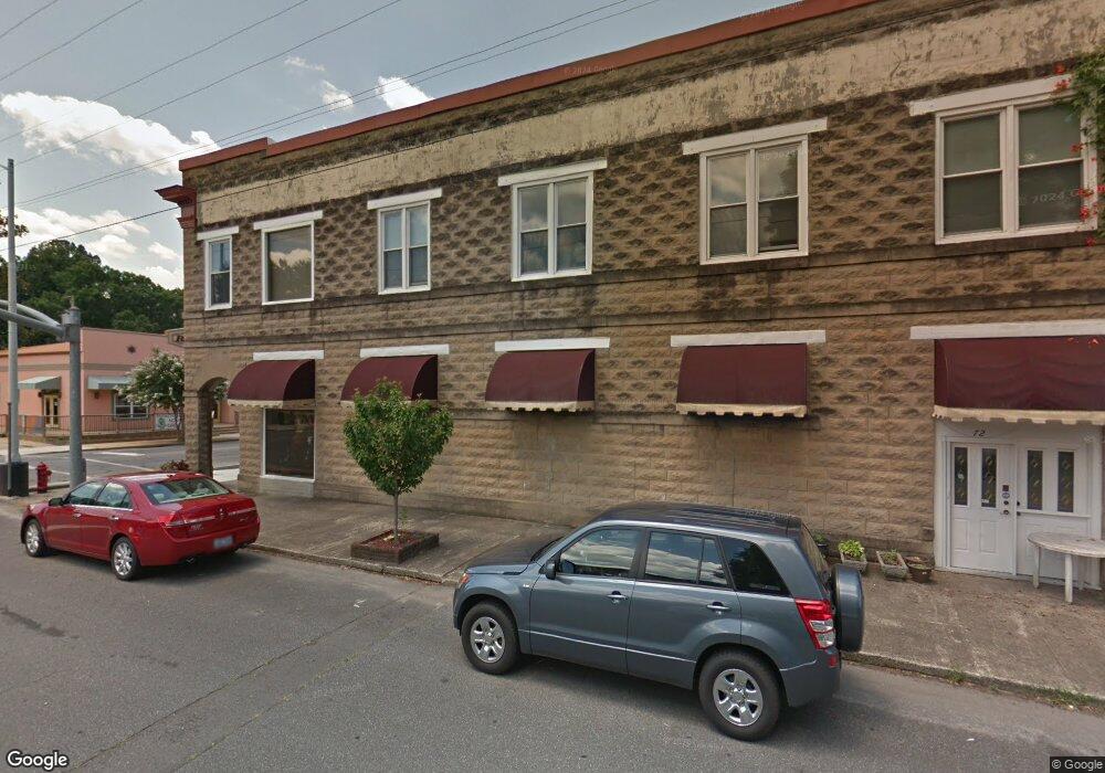
36 E Burch Andrews, NC 28901
Estimated Value: $101,000 - $167,000
3
Beds
1
Bath
960
Sq Ft
$142/Sq Ft
Est. Value
About This Home
This home is located at 36 E Burch, Andrews, NC 28901 and is currently estimated at $135,873, approximately $141 per square foot. 36 E Burch is a home located in Cherokee County with nearby schools including Andrews Elementary School, Andrews Middle School, and Andrews High School.
Ownership History
Date
Name
Owned For
Owner Type
Purchase Details
Closed on
Apr 24, 2024
Sold by
1322 Main Street Llc
Bought by
Mccollum Heather A and Mccollum Rickey L
Current Estimated Value
Home Financials for this Owner
Home Financials are based on the most recent Mortgage that was taken out on this home.
Original Mortgage
$15,000
Interest Rate
1.6%
Purchase Details
Closed on
Oct 13, 2022
Sold by
Cunningham Stevens Kay
Bought by
1322 Main Street Llc
Purchase Details
Closed on
Apr 1, 2002
Bought by
Stevens Kay Cunningham
Create a Home Valuation Report for This Property
The Home Valuation Report is an in-depth analysis detailing your home's value as well as a comparison with similar homes in the area
Home Values in the Area
Average Home Value in this Area
Purchase History
| Date | Buyer | Sale Price | Title Company |
|---|---|---|---|
| Mccollum Heather A | $140,000 | None Listed On Document | |
| Mccollum Heather A | $140,000 | None Listed On Document | |
| 1322 Main Street Llc | $58,000 | -- | |
| Stevens Kay Cunningham | -- | -- |
Source: Public Records
Mortgage History
| Date | Status | Borrower | Loan Amount |
|---|---|---|---|
| Closed | Mccollum Heather A | $15,000 | |
| Open | Mccollum Heather A | $133,000 | |
| Closed | Mccollum Heather A | $133,000 |
Source: Public Records
Tax History
| Year | Tax Paid | Tax Assessment Tax Assessment Total Assessment is a certain percentage of the fair market value that is determined by local assessors to be the total taxable value of land and additions on the property. | Land | Improvement |
|---|---|---|---|---|
| 2025 | $472 | $63,460 | $0 | $0 |
| 2024 | $482 | $65,070 | $0 | $0 |
| 2023 | $72 | $65,070 | $0 | $0 |
| 2022 | $72 | $65,070 | $0 | $0 |
| 2021 | $400 | $65,070 | $10,000 | $55,070 |
| 2020 | $374 | $65,070 | $0 | $0 |
| 2019 | $454 | $72,830 | $0 | $0 |
| 2018 | $454 | $72,830 | $0 | $0 |
| 2017 | $454 | $72,830 | $0 | $0 |
| 2016 | $454 | $72,830 | $0 | $0 |
| 2015 | $454 | $72,830 | $19,800 | $53,030 |
| 2012 | -- | $72,830 | $19,800 | $53,030 |
Source: Public Records
Map
Nearby Homes
- 96 Connaheta Ave
- 93 Collette St
- 000 Chestnut St
- 270 Cover Ave
- 196 Johnson Ridge
- 45 Sulphur Ln
- 4.27 Upper Valley Ln
- 215 Bristol Ave
- 45 Caboose Creek Ln
- 00 River Dance Dr
- 1194 Main St
- 114 Sioux St
- 1229 Main St
- 00 Main & Whitaker
- 000 Holland Farm Rd
- 110 Fisher St
- 60 Tarrent St
- 00 U S 19
- 430 Live Oak Terrace
- 230 Pisgah Rd Unit 430
Your Personal Tour Guide
Ask me questions while you tour the home.