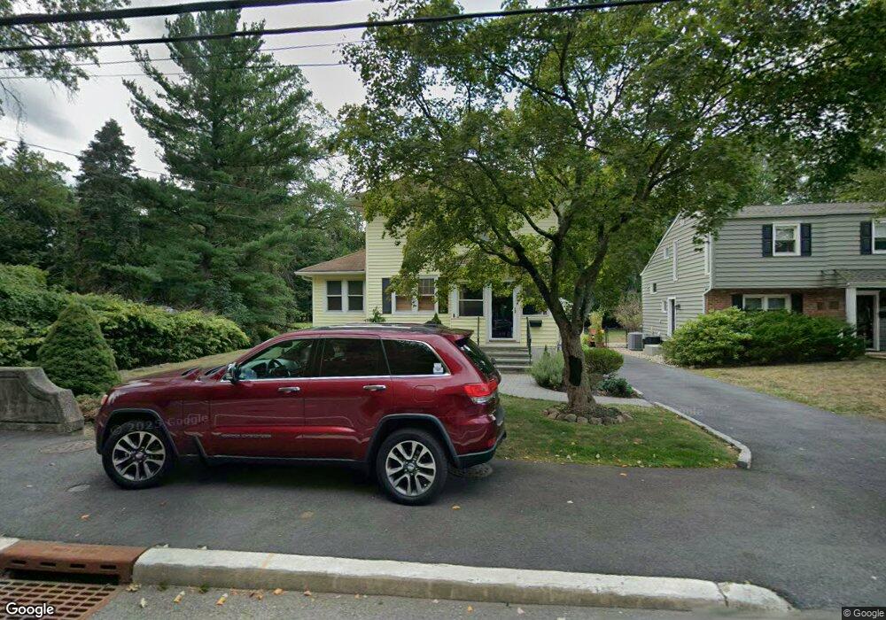
36 E Cedar St Livingston, NJ 07039
Estimated Value: $719,000 - $828,672
Studio
--
Bath
1,284
Sq Ft
$608/Sq Ft
Est. Value
About This Home
This home is located at 36 E Cedar St, Livingston, NJ 07039 and is currently estimated at $781,168, approximately $608 per square foot. 36 E Cedar St is a home located in Essex County with nearby schools including Livingston Sr High School, Aquinas Academy, and Jump Emmersion School.
Ownership History
Date
Name
Owned For
Owner Type
Purchase Details
Closed on
May 23, 2024
Sold by
Stevens Scott
Bought by
Stevens Scott and Stevens Catherine
Current Estimated Value
Purchase Details
Closed on
Apr 2, 2013
Sold by
Stevens Marlene and Stevens Scott
Bought by
Stevens Scott
Purchase Details
Closed on
Jul 10, 2012
Sold by
Garas Teresa
Bought by
36 Burnet Llc
Purchase Details
Closed on
Sep 26, 2007
Sold by
Stevens Marlene
Bought by
Stevens Marlene and Stevens Scott
Purchase Details
Closed on
Feb 15, 2000
Sold by
Milici Charles
Bought by
Stevens Marlene
Home Financials for this Owner
Home Financials are based on the most recent Mortgage that was taken out on this home.
Original Mortgage
$145,600
Interest Rate
8.21%
Create a Home Valuation Report for This Property
The Home Valuation Report is an in-depth analysis detailing your home's value as well as a comparison with similar homes in the area
Home Values in the Area
Average Home Value in this Area
Purchase History
| Date | Buyer | Sale Price | Title Company |
|---|---|---|---|
| Stevens Scott | -- | None Listed On Document | |
| Stevens Scott | -- | -- | |
| Stevens Scott | -- | -- | |
| 36 Burnet Llc | -- | None Available | |
| Stevens Marlene | -- | None Available | |
| Stevens Marlene | $182,000 | -- |
Source: Public Records
Mortgage History
| Date | Status | Borrower | Loan Amount |
|---|---|---|---|
| Previous Owner | Stevens Marlene | $145,600 |
Source: Public Records
Tax History Compared to Growth
Tax History
| Year | Tax Paid | Tax Assessment Tax Assessment Total Assessment is a certain percentage of the fair market value that is determined by local assessors to be the total taxable value of land and additions on the property. | Land | Improvement |
|---|---|---|---|---|
| 2025 | $9,398 | $396,200 | $221,500 | $174,700 |
| 2024 | $9,398 | $396,200 | $221,500 | $174,700 |
Source: Public Records
Map
Nearby Homes
- 7 Royal Ave
- 22 Brookside Place
- 94 E Cedar St
- 19 Springbrook Rd
- 82 W Oakwood Ave
- 16 Dougal Ave
- 106 Falcon Rd
- 153 E Cedar St
- 94 W Cedar St
- 18 Glendale Ave
- 83 Falcon Rd
- 28 Kearney Terrace
- 188 E Mount Pleasant Ave
- 35 Grand Terrace
- 8 Montgomery Rd
- 30 Grand Terrace
- 4 Maplewood Dr
- 74 Hillside Terrace
- 21 Maplewood Dr
- 26 Bennington Rd
- 34 E Cedar St
- 32 E Cedar St
- 42 E Cedar St
- 30 E Cedar St
- 44 E Cedar St
- 31 E Cedar St
- 41 E Cedar St
- 46 E Cedar St
- 45 E Cedar St
- 48 E Cedar St
- 27 E Cedar St
- 47 E Cedar St
- 27 Brookside Ave
- 29 Brookside Ave
- 209 S Livingston Ave Unit 2
- 209 S Livingston Ave
- 209 S Livingston Ave
- 209 S Livingston Ave
- 209 S Livingston Ave
- 209 S Livingston Ave Unit 5