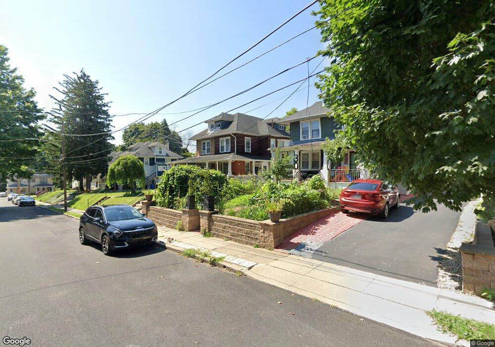
36 E Logan Ave Glenolden, PA 19036
Estimated Value: $236,000 - $259,000
3
Beds
2
Baths
1,498
Sq Ft
$165/Sq Ft
Est. Value
About This Home
This home is located at 36 E Logan Ave, Glenolden, PA 19036 and is currently estimated at $247,528, approximately $165 per square foot. 36 E Logan Ave is a home located in Delaware County with nearby schools including Glenolden School, Interboro Senior High School, and Liberty Baptist Academy.
Ownership History
Date
Name
Owned For
Owner Type
Purchase Details
Closed on
Aug 31, 1999
Sold by
Mundy Mary Paulson and Mundy Edward P
Bought by
Lincoln Francis G and Lincoln Theresa L
Current Estimated Value
Home Financials for this Owner
Home Financials are based on the most recent Mortgage that was taken out on this home.
Original Mortgage
$81,851
Outstanding Balance
$23,670
Interest Rate
7.5%
Mortgage Type
FHA
Estimated Equity
$223,858
Create a Home Valuation Report for This Property
The Home Valuation Report is an in-depth analysis detailing your home's value as well as a comparison with similar homes in the area
Home Values in the Area
Average Home Value in this Area
Purchase History
| Date | Buyer | Sale Price | Title Company |
|---|---|---|---|
| Lincoln Francis G | $81,900 | -- |
Source: Public Records
Mortgage History
| Date | Status | Borrower | Loan Amount |
|---|---|---|---|
| Open | Lincoln Francis G | $81,851 |
Source: Public Records
Tax History
| Year | Tax Paid | Tax Assessment Tax Assessment Total Assessment is a certain percentage of the fair market value that is determined by local assessors to be the total taxable value of land and additions on the property. | Land | Improvement |
|---|---|---|---|---|
| 2025 | $5,156 | $143,790 | $41,490 | $102,300 |
| 2024 | $5,156 | $143,790 | $41,490 | $102,300 |
| 2023 | $5,045 | $143,790 | $41,490 | $102,300 |
| 2022 | $4,962 | $143,790 | $41,490 | $102,300 |
| 2021 | $7,001 | $143,790 | $41,490 | $102,300 |
| 2020 | $4,325 | $83,120 | $29,290 | $53,830 |
| 2019 | $4,278 | $83,120 | $29,290 | $53,830 |
| 2018 | $4,201 | $83,120 | $0 | $0 |
| 2017 | $4,108 | $83,120 | $0 | $0 |
| 2016 | $456 | $83,120 | $0 | $0 |
| 2015 | $456 | $83,120 | $0 | $0 |
| 2014 | $456 | $83,120 | $0 | $0 |
Source: Public Records
Map
Nearby Homes
- 128 E Cooke Ave
- 323 S Chester Pike
- 20 N Llanwellyn Ave
- 140 Isabel Ave
- 100 E Glenolden Ave Unit B6
- 100 E Glenolden Ave Unit D17
- 100 E Glenolden Ave Unit R12
- 100 E Glenolden Ave Unit E21
- 100 E Glenolden Ave Unit T13
- 100 E Glenolden Ave Unit E12
- 30 N Llanwellyn Ave
- 102 Rambler Rd
- 1821 Shallcross Ave
- 133 N Llanwellyn Ave
- 401 Custer Ave
- 317 N Llanwellyn Ave
- 419 Custer Ave
- 128 N Wells Ave
- 409 W Grays Ave
- 419 W Grays Ave
- 30 E Logan Ave
- 38 E Logan Ave
- 26 E Logan Ave
- 40 E Logan Ave
- 40 E Logan Ave Unit 2
- 44 E Logan Ave
- 31 E Knowles Ave
- 27 E Knowles Ave
- 46 E Logan Ave
- 24 E Logan Ave
- 39 E Knowles Ave
- 37 E Logan Ave
- 21 E Knowles Ave
- 35 E Logan Ave
- 39 E Logan Ave
- 108 S Glen Ave
- 112 S Glen Ave
- 48 E Logan Ave
- 19 E Knowles Ave
- 43 E Knowles Ave
Your Personal Tour Guide
Ask me questions while you tour the home.