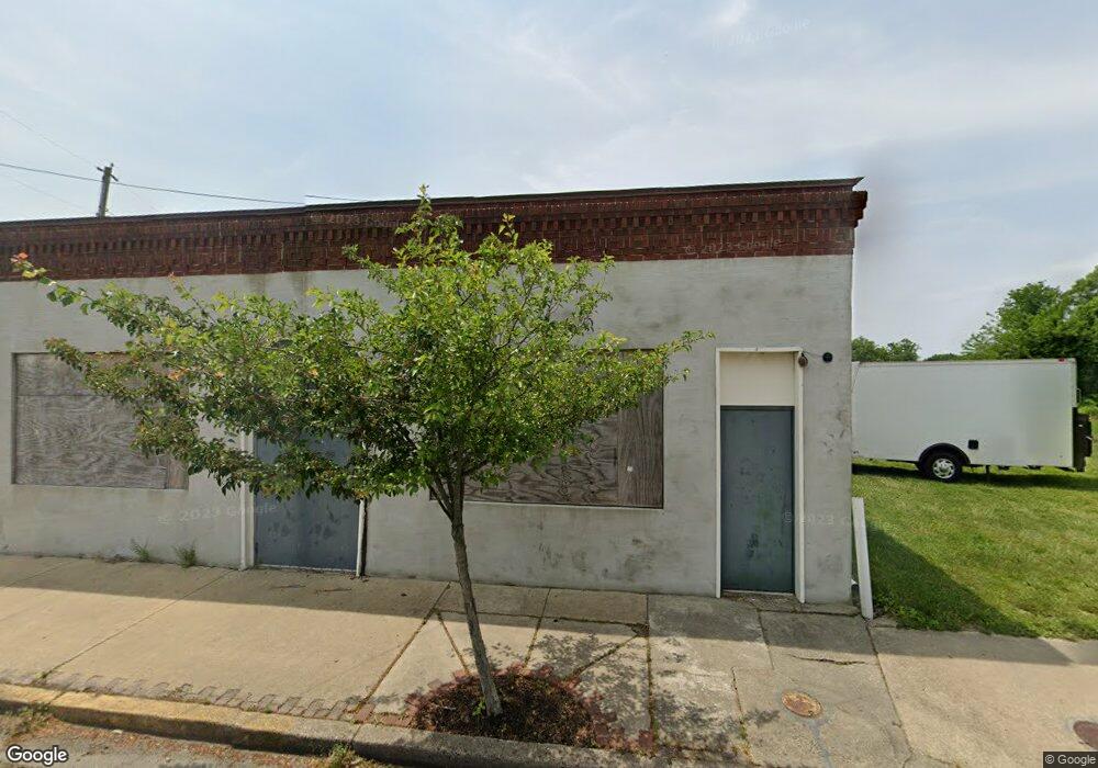
36 E Main St Penns Grove, NJ 08069
Estimated Value: $127,684 - $166,000
--
Bed
--
Bath
1,260
Sq Ft
$117/Sq Ft
Est. Value
About This Home
This home is located at 36 E Main St, Penns Grove, NJ 08069 and is currently estimated at $146,921, approximately $116 per square foot. 36 E Main St is a home located in Salem County with nearby schools including Lafayette-Pershing Elementary School, Field Street Elementary School, and Paul W. Carleton Elementary School.
Ownership History
Date
Name
Owned For
Owner Type
Purchase Details
Closed on
Dec 14, 2016
Sold by
Palm Shores Llc
Bought by
Loper Jacqueline C
Current Estimated Value
Purchase Details
Closed on
Nov 11, 2016
Sold by
Palm Shores Llc
Bought by
Loper Jacqueline C
Purchase Details
Closed on
May 11, 2012
Sold by
Palmsciano Adam Man Mem
Bought by
Palm Shors Llc
Purchase Details
Closed on
Jan 27, 2012
Sold by
Bennefield Spencer W and Bennefield Charmaine
Bought by
Citimortgage Inc and Citifinancial Services Inc
Create a Home Valuation Report for This Property
The Home Valuation Report is an in-depth analysis detailing your home's value as well as a comparison with similar homes in the area
Home Values in the Area
Average Home Value in this Area
Purchase History
| Date | Buyer | Sale Price | Title Company |
|---|---|---|---|
| Loper Jacqueline C | $56,000 | None Available | |
| Loper Jacqueline C | $56,000 | None Available | |
| Palm Shors Llc | -- | -- | |
| Citimortgage Inc | -- | Foundation Title Llc |
Source: Public Records
Tax History Compared to Growth
Tax History
| Year | Tax Paid | Tax Assessment Tax Assessment Total Assessment is a certain percentage of the fair market value that is determined by local assessors to be the total taxable value of land and additions on the property. | Land | Improvement |
|---|---|---|---|---|
| 2025 | $2,313 | $41,700 | $12,200 | $29,500 |
| 2024 | $2,235 | $41,700 | $12,200 | $29,500 |
| 2023 | $2,235 | $41,700 | $12,200 | $29,500 |
| 2022 | $2,155 | $41,700 | $12,200 | $29,500 |
| 2021 | $2,062 | $41,700 | $12,200 | $29,500 |
| 2020 | $2,089 | $41,700 | $12,200 | $29,500 |
| 2019 | $2,098 | $41,700 | $12,200 | $29,500 |
| 2018 | $3,114 | $40,000 | $15,000 | $25,000 |
| 2017 | $3,125 | $77,200 | $15,500 | $61,700 |
| 2016 | $3,007 | $77,200 | $15,500 | $61,700 |
| 2015 | $2,880 | $77,200 | $15,500 | $61,700 |
| 2014 | -- | $77,200 | $15,500 | $61,700 |
Source: Public Records
Map
Nearby Homes
- 0 Cumberland Ave
- 0 Lincoln Avenue & Cumberland
- 34 38 Cumberland Ave
- 80 S Broad St
- 15 Walnut St
- 39 41 Cumberland Ave
- 59-61 Walnut St
- 32 Walnut St
- 55 57 Walnut St
- 106 S Broad St
- 32 Westminster Ave
- 3 Naylor Ave
- 6 W Griffith St
- 85 State St
- 114 Deming Ave
- 88 Railroad Ave
- 106 Sack Ave
- 83 Willis St
- 65 S Broad St
- 78 W Harmony St