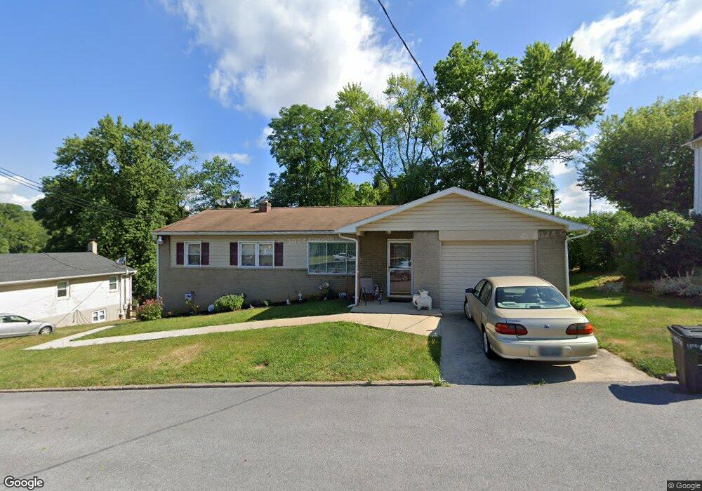
36 E Poplar St Funkstown, MD 21734
Estimated Value: $243,000 - $329,000
4
Beds
3
Baths
1,496
Sq Ft
$192/Sq Ft
Est. Value
About This Home
This home is located at 36 E Poplar St, Funkstown, MD 21734 and is currently estimated at $286,803, approximately $191 per square foot. 36 E Poplar St is a home located in Washington County with nearby schools including Ruth Ann Monroe Primary School, Eastern Elementary School, and E. Russell Hicks Middle School.
Ownership History
Date
Name
Owned For
Owner Type
Purchase Details
Closed on
Oct 29, 2011
Sold by
House Donald Lee and House Vernandine Louise
Bought by
Weaver Melvin L and Weaver Denice
Current Estimated Value
Purchase Details
Closed on
Mar 29, 2011
Sold by
Bank Us
Bought by
House Donald Lee
Purchase Details
Closed on
Feb 17, 2011
Sold by
Bank Us
Bought by
House Donald Lee
Purchase Details
Closed on
Jan 4, 2011
Sold by
Tritch Laura
Bought by
Bank Us
Purchase Details
Closed on
Aug 24, 2007
Sold by
Johnson Robert E and Johnson Sharon C
Bought by
Laura Tritch
Purchase Details
Closed on
Apr 5, 2001
Sold by
Bachtell Curtis L and Bachtell Jessica L
Bought by
Johnson Robert E and Johnson Sharon C
Create a Home Valuation Report for This Property
The Home Valuation Report is an in-depth analysis detailing your home's value as well as a comparison with similar homes in the area
Home Values in the Area
Average Home Value in this Area
Purchase History
| Date | Buyer | Sale Price | Title Company |
|---|---|---|---|
| Weaver Melvin L | -- | Olde Towne Title Inc | |
| House Donald Lee | $90,000 | -- | |
| House Donald Lee | $90,000 | -- | |
| Bank Us | $103,920 | -- | |
| Laura Tritch | $219,900 | -- | |
| Johnson Robert E | $119,900 | -- |
Source: Public Records
Mortgage History
| Date | Status | Borrower | Loan Amount |
|---|---|---|---|
| Closed | Johnson Robert E | -- |
Source: Public Records
Tax History
| Year | Tax Paid | Tax Assessment Tax Assessment Total Assessment is a certain percentage of the fair market value that is determined by local assessors to be the total taxable value of land and additions on the property. | Land | Improvement |
|---|---|---|---|---|
| 2025 | $2,106 | $250,200 | $0 | $0 |
| 2024 | $2,106 | $231,200 | $54,000 | $177,200 |
| 2023 | $1,906 | $209,200 | $0 | $0 |
| 2022 | $1,705 | $187,200 | $0 | $0 |
| 2021 | $1,545 | $165,200 | $54,000 | $111,200 |
| 2020 | $1,494 | $160,467 | $0 | $0 |
| 2019 | $1,456 | $155,733 | $0 | $0 |
| 2018 | $1,412 | $151,000 | $61,500 | $89,500 |
| 2017 | $1,399 | $149,667 | $0 | $0 |
| 2016 | -- | $148,333 | $0 | $0 |
| 2015 | -- | $147,000 | $0 | $0 |
| 2014 | $1,637 | $147,000 | $0 | $0 |
Source: Public Records
Map
Nearby Homes
- 414 Beaver Creek Rd
- 11 Funkstown Rd
- 12.3 AC Southern Blvd
- 2 Charlotte St
- 104 S Edgewood Dr Unit 104
- 1619 Dual Hwy
- 628 Knightsbridge Dr
- 605 Knightsbridge Dr
- 90 Charlotte St
- 104 Charlotte St
- 0 Kenly Ave
- 920 Frederick St
- 103 Charlotte St
- 925 Frederick St
- 1747 Edgewood Hill Cir Unit 201
- 202 S Fork Dr
- 329 Emmert Rd
- 1522 Dual Hwy
- 843 Frederick St
- Lot 7-16 Lawton Ln
Your Personal Tour Guide
Ask me questions while you tour the home.