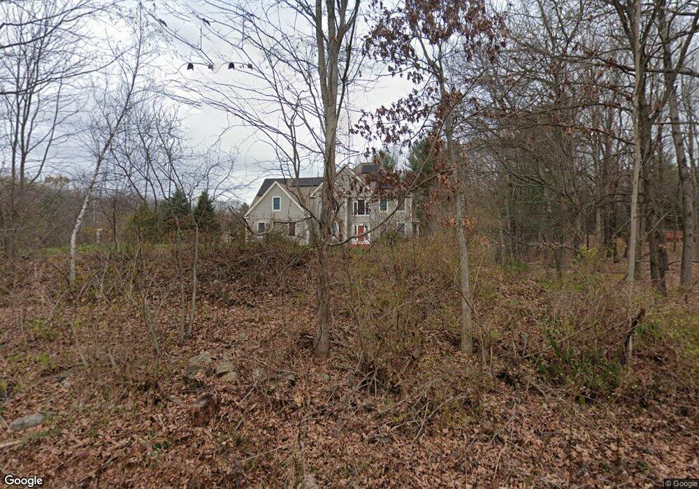
36 Farm Rd Bolton, MA 01740
Estimated Value: $959,714 - $1,025,000
4
Beds
3
Baths
3,133
Sq Ft
$318/Sq Ft
Est. Value
About This Home
This home is located at 36 Farm Rd, Bolton, MA 01740 and is currently estimated at $996,179, approximately $317 per square foot. 36 Farm Rd is a home located in Worcester County with nearby schools including Florence Sawyer School, Nashoba Regional High School, and Darnell School For Educational & Behavioral Service.
Ownership History
Date
Name
Owned For
Owner Type
Purchase Details
Closed on
Sep 3, 2019
Sold by
Rohatgi Naveen
Bought by
Rohatgi Bailoo
Current Estimated Value
Home Financials for this Owner
Home Financials are based on the most recent Mortgage that was taken out on this home.
Original Mortgage
$330,000
Outstanding Balance
$208,474
Interest Rate
3%
Mortgage Type
New Conventional
Estimated Equity
$787,705
Purchase Details
Closed on
Jun 17, 2008
Sold by
Nala Rt and Davis
Bought by
Rohatgi Bailoo and Rohatgi Naveen
Purchase Details
Closed on
Oct 15, 2007
Sold by
Lee Jerry J and Kim Catherine M
Bought by
Nala Rt and Davis
Purchase Details
Closed on
Aug 26, 2002
Sold by
Kendall Homes Inc
Bought by
Lee Jerry J and Kim Catherine M
Purchase Details
Closed on
Jan 31, 2001
Sold by
Coolidge Robert D
Bought by
Kendall Homes Inc
Create a Home Valuation Report for This Property
The Home Valuation Report is an in-depth analysis detailing your home's value as well as a comparison with similar homes in the area
Home Values in the Area
Average Home Value in this Area
Purchase History
| Date | Buyer | Sale Price | Title Company |
|---|---|---|---|
| Rohatgi Bailoo | -- | -- | |
| Rohatgi Bailoo | $540,000 | -- | |
| Rohatgi Bailoo | $540,000 | -- | |
| Nala Rt | $477,000 | -- | |
| Nala Rt | $477,000 | -- | |
| Lee Jerry J | $575,000 | -- | |
| Kendall Homes Inc | $842,500 | -- |
Source: Public Records
Mortgage History
| Date | Status | Borrower | Loan Amount |
|---|---|---|---|
| Open | Rohatgi Bailoo | $330,000 | |
| Previous Owner | Kendall Homes Inc | $403,000 | |
| Previous Owner | Kendall Homes Inc | $407,000 |
Source: Public Records
Tax History
| Year | Tax Paid | Tax Assessment Tax Assessment Total Assessment is a certain percentage of the fair market value that is determined by local assessors to be the total taxable value of land and additions on the property. | Land | Improvement |
|---|---|---|---|---|
| 2025 | $16,151 | $971,800 | $193,600 | $778,200 |
| 2024 | $15,406 | $947,500 | $178,800 | $768,700 |
| 2023 | $15,353 | $877,300 | $178,800 | $698,500 |
| 2022 | $14,515 | $730,500 | $168,900 | $561,600 |
| 2021 | $14,337 | $687,300 | $168,900 | $518,400 |
| 2020 | $13,578 | $665,900 | $169,100 | $496,800 |
| 2019 | $13,039 | $637,000 | $164,300 | $472,700 |
| 2018 | $12,999 | $629,200 | $159,400 | $469,800 |
| 2017 | $12,648 | $596,600 | $154,600 | $442,000 |
| 2016 | $11,873 | $567,800 | $144,900 | $422,900 |
| 2015 | $11,558 | $550,900 | $135,300 | $415,600 |
| 2014 | $11,416 | $538,500 | $149,800 | $388,700 |
Source: Public Records
Map
Nearby Homes
- 0 Wattaquadock Hill Rd
- 54 Main St
- 15 Mallard Ln Unit 7
- 1A Sanders Ln
- 47 Sugar Rd
- 6 Century Mill Rd
- 11 Pondside Ln Unit 11
- 114 Oak Trail
- 315 Central St
- 339 Old Central St
- 104 Randall Rd
- 118 Randall Rd
- 146 Randall Rd
- 144 Nourse Rd
- 90 Harvard Rd
- 3 Gerry Dr Unit 15
- 0 Long Hill Rd
- 98 Meadow Rd
- 3 Highland Park Ave
- 167 Lancaster Rd
Your Personal Tour Guide
Ask me questions while you tour the home.