36 Fenderson Rd Saco, ME 04072
North Saco NeighborhoodEstimated Value: $532,000 - $630,000
1
Bed
1
Bath
1,816
Sq Ft
$324/Sq Ft
Est. Value
About This Home
This home is located at 36 Fenderson Rd, Saco, ME 04072 and is currently estimated at $588,335, approximately $323 per square foot. 36 Fenderson Rd is a home with nearby schools including C K Burns School and Saco Middle School.
Ownership History
Date
Name
Owned For
Owner Type
Purchase Details
Closed on
Apr 5, 2019
Sold by
Lauzier Fine Home Builder
Bought by
Mccormick Kyle R and Nappi Samantha J
Current Estimated Value
Home Financials for this Owner
Home Financials are based on the most recent Mortgage that was taken out on this home.
Original Mortgage
$256,000
Outstanding Balance
$225,070
Interest Rate
4.3%
Mortgage Type
New Conventional
Estimated Equity
$363,266
Purchase Details
Closed on
Sep 27, 2018
Sold by
Lane John W
Bought by
Lauzier Fine Home Builder
Home Financials for this Owner
Home Financials are based on the most recent Mortgage that was taken out on this home.
Original Mortgage
$256,000
Interest Rate
4.5%
Mortgage Type
New Conventional
Purchase Details
Closed on
Dec 21, 2017
Sold by
Lane John
Bought by
Lane John
Purchase Details
Closed on
Jun 13, 2016
Sold by
Lane John
Bought by
Saco City Of
Purchase Details
Closed on
Mar 10, 2009
Sold by
Allen Wilfred A
Bought by
Ln John W
Create a Home Valuation Report for This Property
The Home Valuation Report is an in-depth analysis detailing your home's value as well as a comparison with similar homes in the area
Home Values in the Area
Average Home Value in this Area
Purchase History
| Date | Buyer | Sale Price | Title Company |
|---|---|---|---|
| Mccormick Kyle R | -- | -- | |
| Lauzier Fine Home Builder | -- | -- | |
| Lane John | -- | -- | |
| Saco City Of | -- | -- | |
| Ln John W | $7,000 | -- |
Source: Public Records
Mortgage History
| Date | Status | Borrower | Loan Amount |
|---|---|---|---|
| Open | Mccormick Kyle R | $256,000 | |
| Previous Owner | Lauzier Fine Home Builder | $256,000 |
Source: Public Records
Tax History Compared to Growth
Tax History
| Year | Tax Paid | Tax Assessment Tax Assessment Total Assessment is a certain percentage of the fair market value that is determined by local assessors to be the total taxable value of land and additions on the property. | Land | Improvement |
|---|---|---|---|---|
| 2024 | $6,071 | $432,100 | $145,500 | $286,600 |
| 2023 | $6,037 | $409,300 | $145,500 | $263,800 |
| 2022 | $5,365 | $292,700 | $110,800 | $181,900 |
| 2021 | $5,141 | $272,300 | $99,500 | $172,800 |
| 2020 | $4,919 | $250,100 | $81,600 | $168,500 |
| 2019 | $4,847 | $250,100 | $81,600 | $168,500 |
| 2018 | $99 | $4,800 | $4,800 | $0 |
| 2017 | $83 | $4,300 | $4,300 | $0 |
| 2016 | $99 | $5,100 | $5,100 | $0 |
| 2015 | $98 | $5,100 | $5,100 | $0 |
| 2014 | $95 | $5,100 | $5,100 | $0 |
| 2013 | $95 | $5,100 | $5,100 | $0 |
Source: Public Records
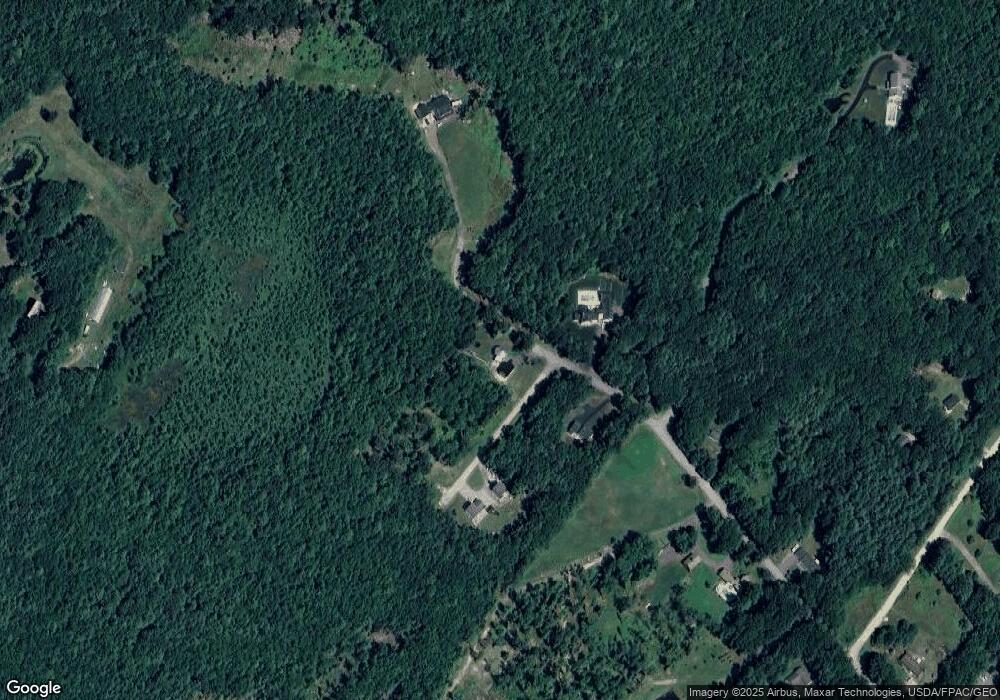
Map
Nearby Homes
- 74 Hearn Rd
- 5 Marguerite Rd
- 75 Ash Swamp Rd
- 9 Jada Dr
- Lot 1 & 2 Memory Ln
- 110/009 Mast Hill Rd
- 436 Flag Pond Rd
- 3 Nonesuch Rd
- 96C Broadturn Rd
- 91 B Broadturn Rd
- 159 Stewart Dr
- 155 Stewart Dr
- 153 Stewart Dr
- 91 C Broadturn Rd
- 149 Stewart Dr
- 192 Stewart Dr
- 29 Mccann Way Unit 29
- 72 Stewart Dr
- 994 Portland Rd Unit 14
- 994 Portland Rd Unit 4
- Lot 8001 Fenderson Rd
- Lot 8000 Fenderson Rd
- 1 John Lane Way
- 222 Fenderson Rd
- 30 Fenderson Rd
- 2 John Lane Way
- 29 Fenderson Rd
- 26 Fenderson Rd
- 00 Fenderson Rd
- 23 Fenderson Rd
- 14 Fenderson Rd
- 18 Fenderson Rd
- 4 John Lane Way
- 2 Strawberry Ln
- 6 Strawberry Ln
- 22 Fenderson Rd
- 4 Strawberry Ln
- 33 Fenderson Rd
- 33 Fenderson Rd
- 35 Fenderson Rd